A Change of Plans. July 3, 2015

We have read about the ship that sails from Cairns to Seisia carrying freight to the isolated places up here. It also takes passengers and their cars. In a random moment of thinking through the second part of our trip, which requires us to backtrack down the road from whence we came, we decided to hitch a ride on the ship back to Cairns.

Due to a cancellation there was a four bunk room available, the ship was leaving Seisia on Friday which is the day we would start the drive back anyway, and we got standby fares. And that’s how we found ourselves heading south on MV Trinity Bay. This is going to be fun!

Seaswift operate a fleet of cargo vessels that around Cape York Peninsula and the Torres Strait. So we are on the Trinity Bay, 81m long and built in 1996. It travels between Cairns and Seisia carrying freight, stopping at Horn Island and Thursday Island. It is the only working cargo vessel in Australia that also carries passengers, with a total of 48 berths for crew and passengers. The total trip is about 1000km and we travel inside the Great Barrier Reef.

We boarded the ship about 10am on Friday while the Cruiser and the trailer stayed ashore – for now.

About to board MV Trinity Beach

About to board MV Trinity Beach

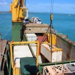
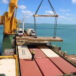
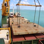
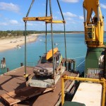
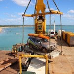
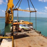
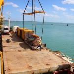
Then we watched in fascination from the A Deck as they unloaded the ship of its containers, tanks of diesel fuel for the town’s power and cars. It can carry 120 containers! Then they loaded it up with mostly empty containers and three cars and our trailer. I never thought I would find this interesting, but we couldn’t tear ourselves away! The whole process took about 7 hours, and we were glued to it for about four of those. I think I’d like to be a crane operator in my next life. Here’s a gallery of the process.

It was pretty scary watching our car being lifted up and swinging in the breeze as they lowered it into place and locked it down on deck. We’re not allowed access to it while we are at sea.

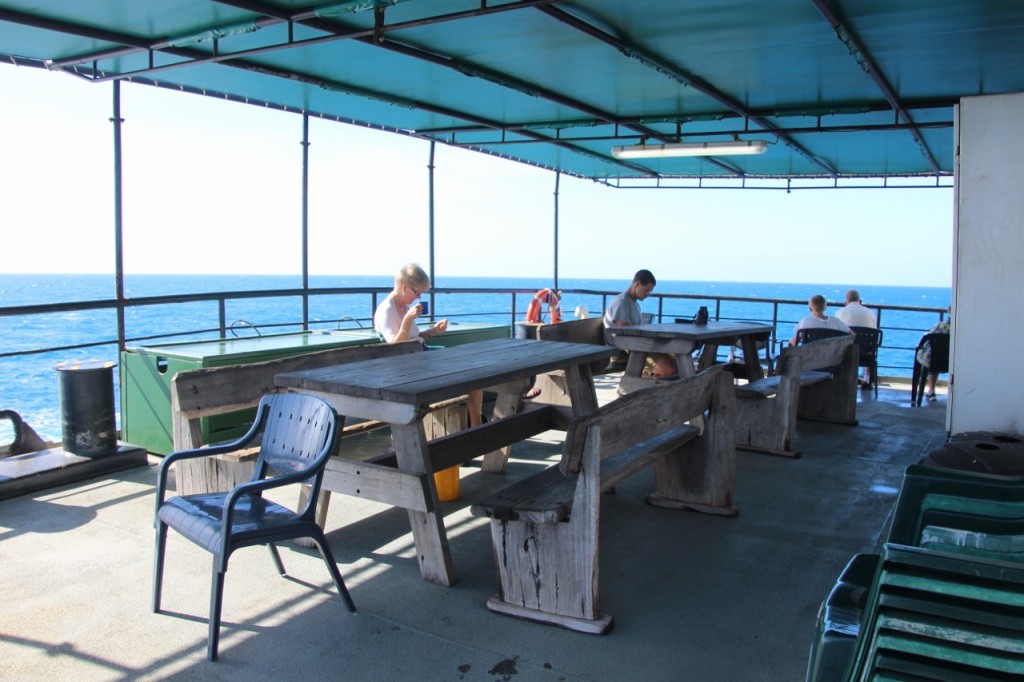
The trip will take two nights and we should arrive in Cairns on Sunday afternoon. The crew gets to eat first and so far the food is great. I’m told they call this a three kilo trip. The chef is a sure fire candidate for Biggest Loser. And there’s a huge box of Arnott’s Family Assorted biscuits that’s never empty. I might need to increase my walking when I get home. It’s not the Queen Mary, but the rooms are clean and the views are great.

We left Seisia about 6.30pm once the tide came up, and rounded the Cape just on dark.

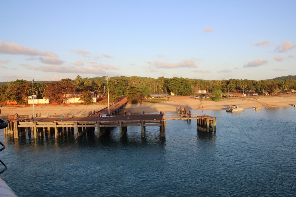
Goodbye to Seisia and the very top of Australia

Last light of the day shines on Seisia Jetty as we leave.

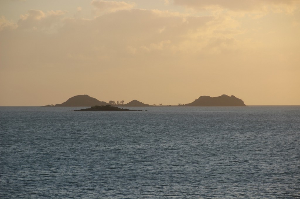
Goodbye to Seisia. It’s been the end of the road for our northern bound days. We passed through some of the islands of Torres Strait in the fading light. Beautiful.

Torres Strait

Torres Strait

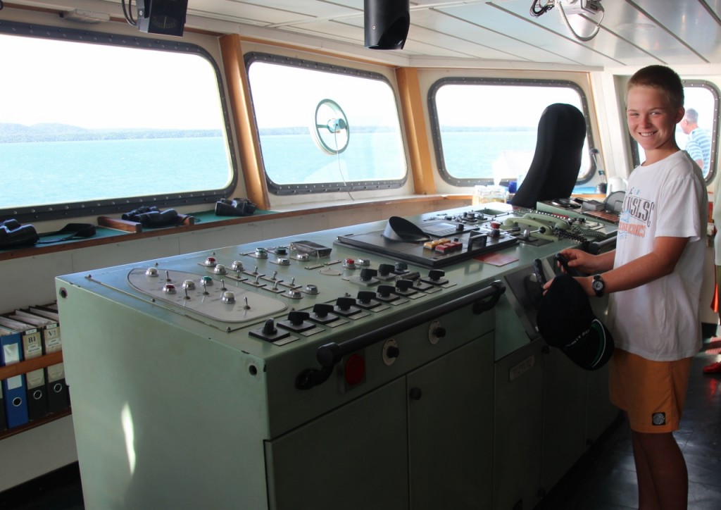
Our cabin is known as the Bat Cave because we have no windows, but it doesn’t matter – we all slept like logs. In the morning, after a full hot breakfast (there’s another 10km to walk), we had a visit to the bridge with the Captain. Harry took centre stage by asking him a question he didn’t know the answer to.

Ferg at the wheel

Ferg at the wheel

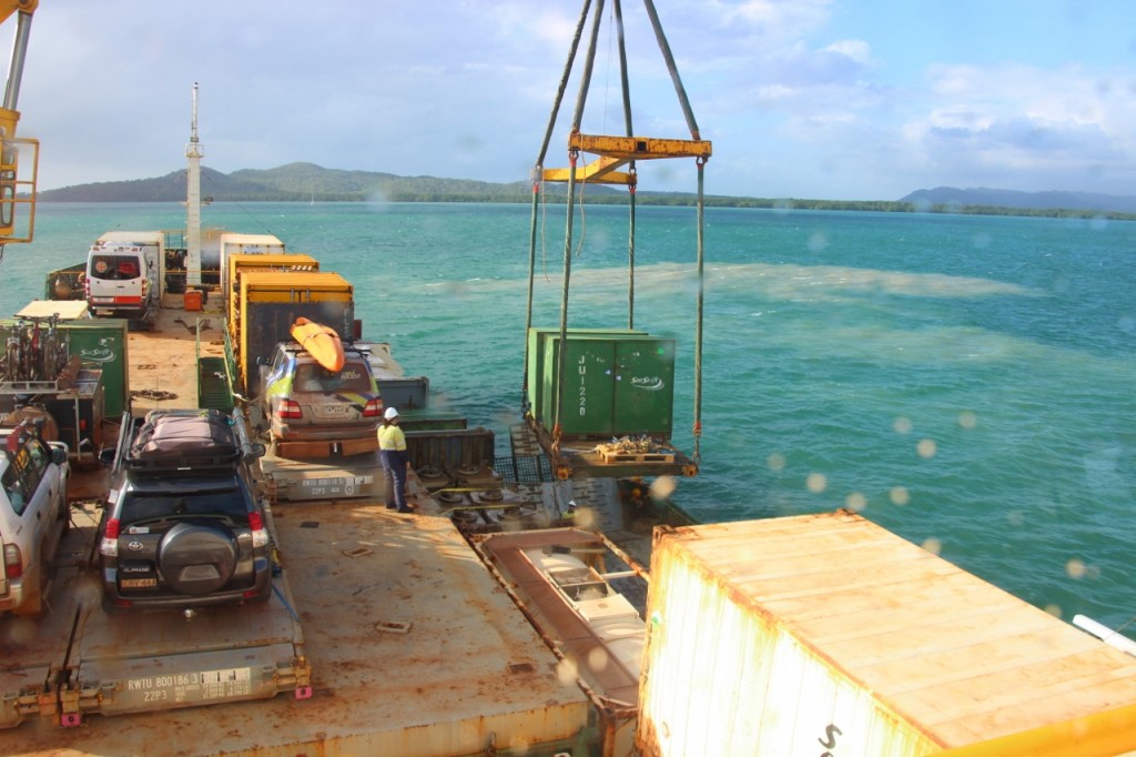
We stopped at Lockhart River to drop off one container and one small box. It’s too shallow for the Trinity Bay to get in there so a barge comes out and pulls up alongside us while they transfer the stuff. There’s just 30cm of water between us and the sea bed.

Transferring cargo with the barge alongside

Transferring cargo with the barge alongside at Lockhart River

It’s an odd arrangement, this sharing of space with the crew. I’m not sure if they feel like they’re invading our little adventure, because we could easily feel like we’re invading their workspace! They come from far and wide. There’s a female crew member from Melbourne. A guy from the Philippines. Some live in Cairns. They work four weeks on and then four off. The girl flies back to Melbourne each break. I guess it’s a FIFO kind of life. Odd Spot: the first Mate is 6 foot 4, but the ceilings are about 6 foot 2. The poor guys walks around with his head bent over.

We’ve spent our full day on board just hanging out. Reading books. Harry watched Indiana Jones and the Last Crusade today. I think that’s the 50th time he’s seen it. I will always remember him dressed up as Indiana for Book and Movie Day in Grade One. I love the photo I have from that day. We’ve played cards, Trivial Pursuit and soaked up the warm breeze on deck. It seems so odd to have such a warm climate when you head out there. Quite unlike the Spirit of Tasmania climate!

Our B Deck sailing along the Great Barrier Reef

Our B Deck sailing along the Great Barrier Reef

As we head south we stay inside the reef, but in some places we are quite close. The swell starts to rock us a little, and you can actually see the waves breaking at the edge of the reef. We’ve been past Cape Tribulation this morning and also Snapper Island – the one the boys weren’t able to paddle out to due to bad weather. We’re due to dock in Cairns about midday. More in the next post!

PS – I know you’re wondering what the question was that the Captain couldn’t answer. Harry wanted to know why the two rotating things on the top of the antennas of the ship rotate at different speeds.

Red Dust. July, 2015

Riding hazards, Cape style.

Riding hazards, Cape style.

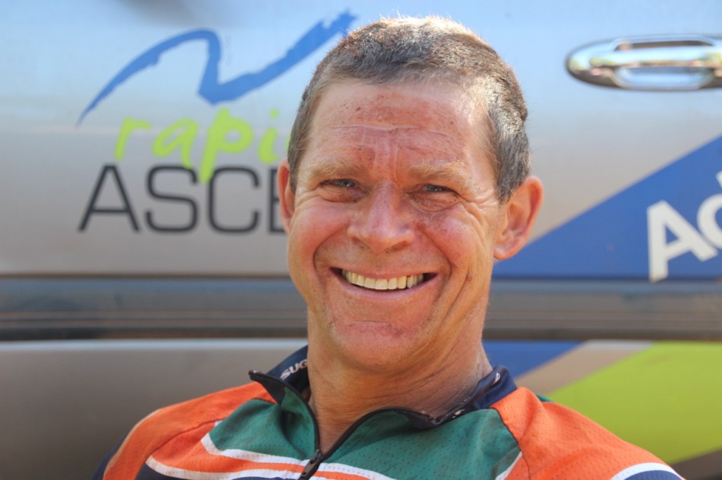
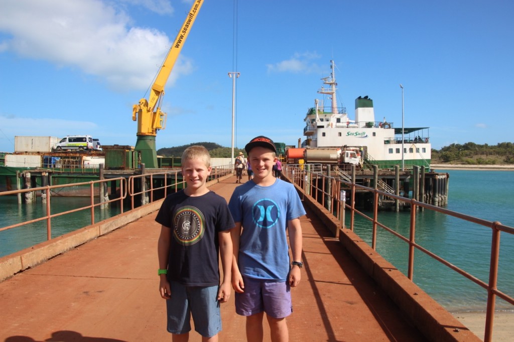
The red dirt gets into everything here. Above is a pic of John after a morning ride. Getting overtaken by a car on these dusty roads has a whole new meaning. He even had red spots on his hair where the dust came through the ventilation holes. I have great doubts that our clothes will ever by clean again.

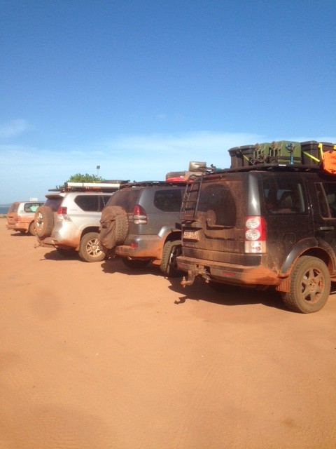
And as for the cars! I’ve seen two clean ones in the last few days. They belonged to a couple of blokes who got bored with the fishing. IMG_2067 dirty cars


A Laid Back Lifestyle. July, 2015

Things are pretty easy going way up here at The Tip. It’s a busy life, what with all those fish to catch. The ocean here is the most tantalising pretty blue colour. But of course, no swimming. Our camp site in Seisia is right on the beach next to the jetty. The internet connection is frustrating to say the least. Last night it took hours (literally) to upload about 8 photos. Then when you’re in some extreme location that took many kilometres of rough 4WD tracks to reach, your phone goes off with messages and even phone calls get through.

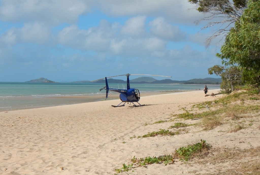
I like the way they just park their helicopters on the beach next to the camping ground.

Free parking

Free parking

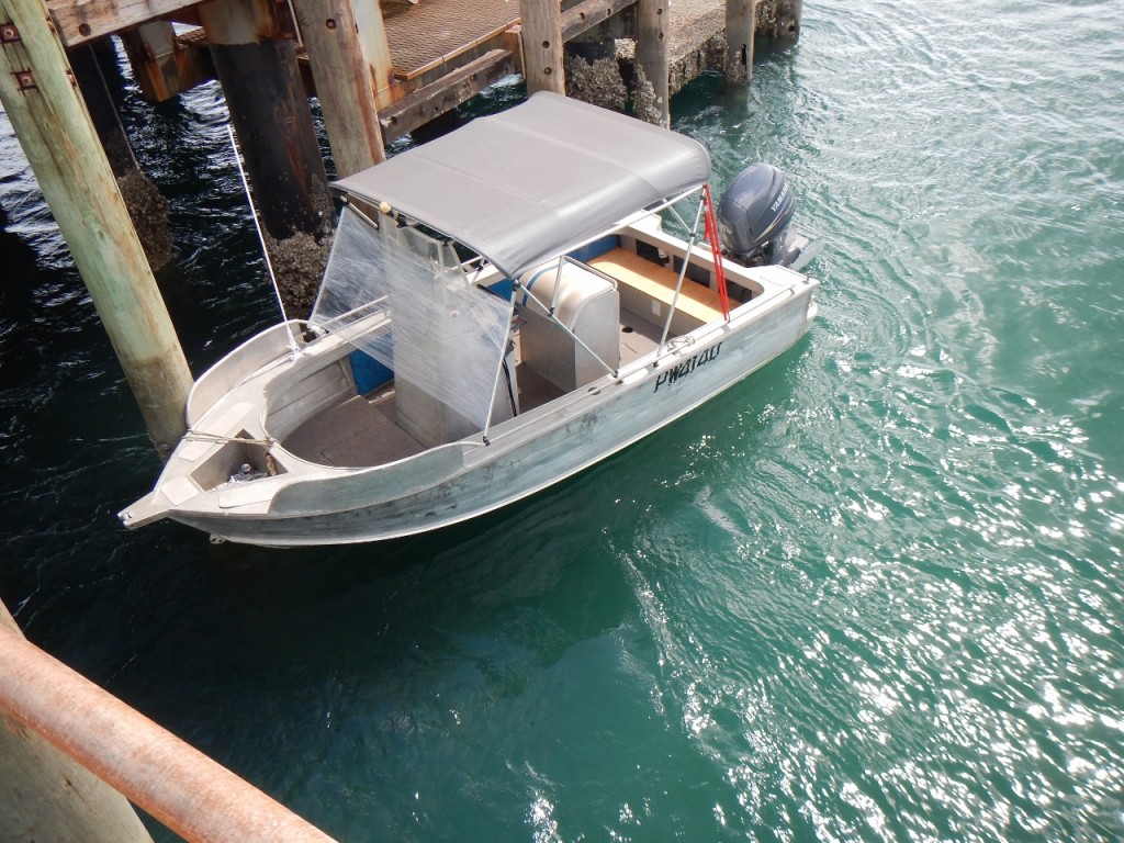
We saw this boat at Seisia, with their makeshift wind screen repair job – 1001 uses for Glad Wrap.

At Seisia jetty

At Seisia jetty

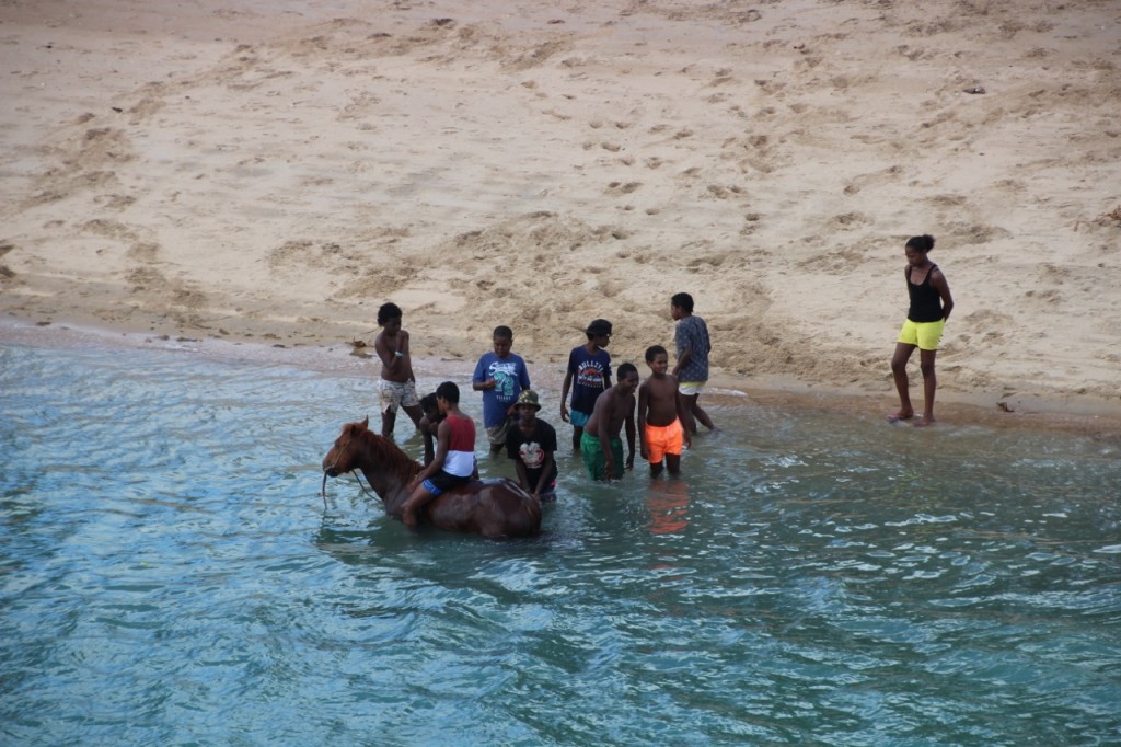
We are constantly warned about the crocs. It might be the staff at camp ground reception, fellow travellers or the millions of signs they have installed near every body of water on the peninsular. But somehow the locals seem to know otherwise. Below is a group of kids who spent hours in the water with a dog (read: excellent croc bait), or otherwise with one of the many wild horses that roam around the region…..

Croc safety, local style.

Croc safety, local style.

And I’m so relaxed I don’t even care about the small bug that just crawled into my laptop while I’m typing this. Just next to the H key. He might pop back out somewhere near W later. But maybe not.


Thursday Island on Thursday, of course. July 2, 2015

Can’t think of a better day to take the ferry to Thursday Island. It takes about 75 minutes to get across to the administrative centre of the Torres Strait Islands. They used to have the hub back at Somerset on the mainland, but after they worked out the land was a dead loss and the locals were hostile, they moved the magistrate and the rest of the local administration to Thursday Island in the late 1800s. Aside from that, it’s was once a hub for the pearl diving industry long before they ever heard of the bends. That would account for the large number of graves of Japanese divers from that era.

Nonetheless, it’s a beautiful place.

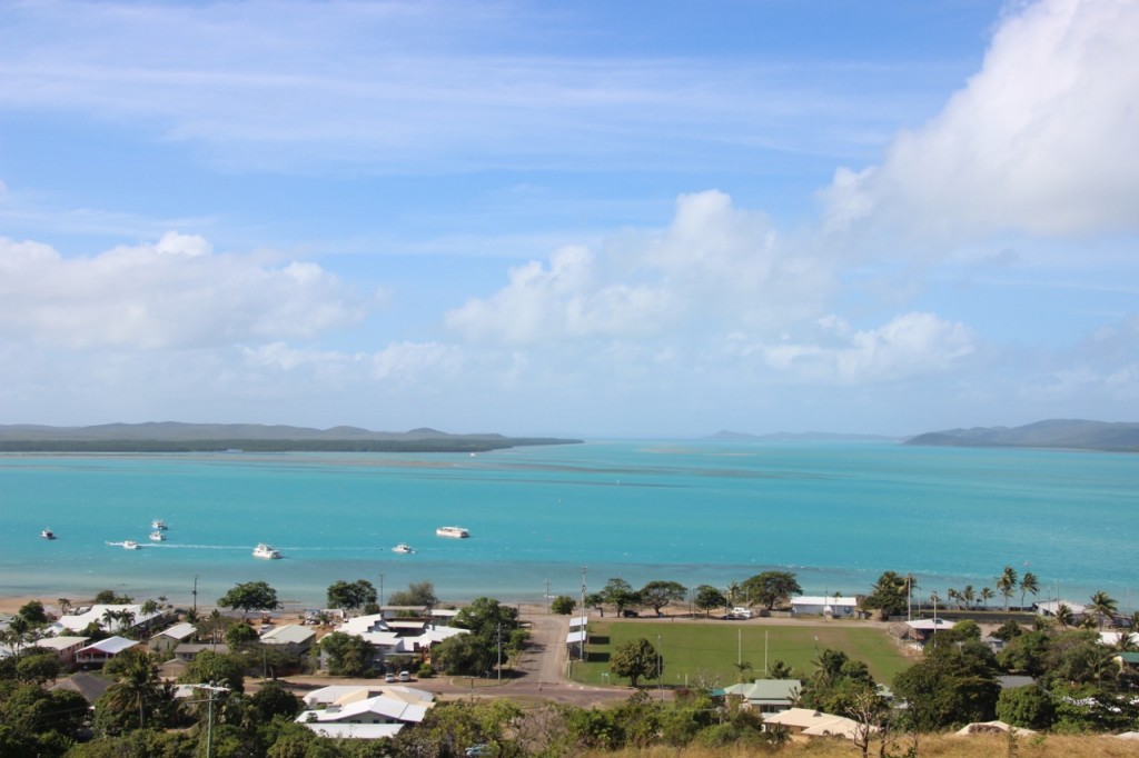
View from Thursday Island

View from Thursday Island

Thursday Island is just 3.5 square kilometres and has 3000 permanent residents. So there’s no chance you’ll do big mileage on your car. There are 274 islands in the Torres Strait, with some residents on just 14 them. The total population of the Torres Strait is about 5000.

We decided to walk our way around the small number of features on the small island. Up at Grass Hill there’s a fort that was created during WWII. No need to say why. There’s a wealth of information around the fort including an underground maze of rooms, formerly the magazine of ammunition, housing more information than you possibly read in a visit. But the views are good…

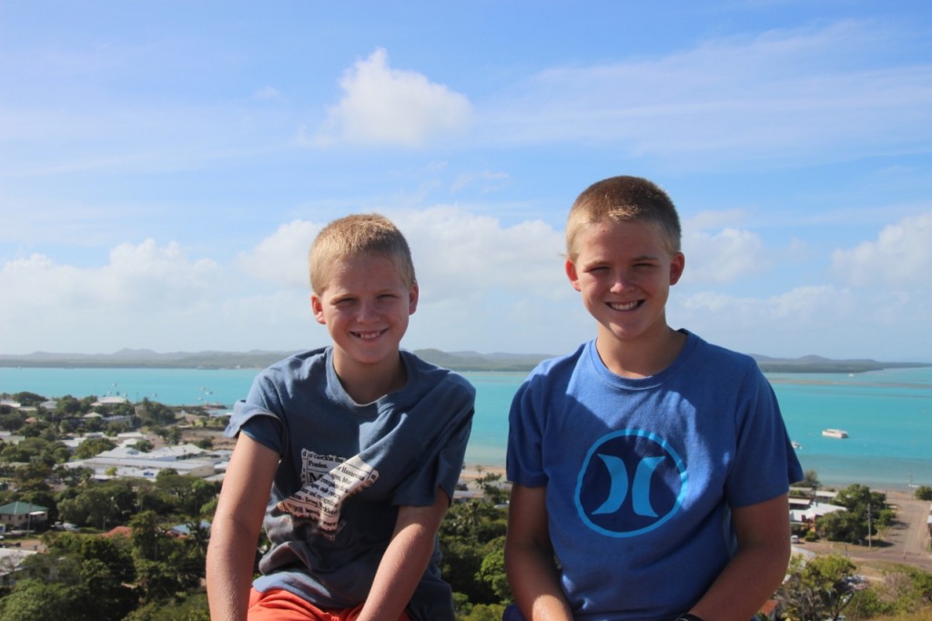
Thursday Island

Thursday Island

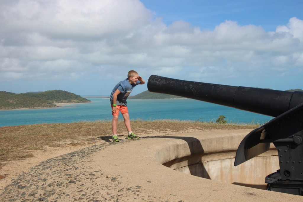
And Harry had a close inspection of the canons.

Are you sure there's nothing in there Harry?

Are you sure there’s nothing in there Harry?

We had lunch at the Top Pub, which is at the bottom of the street. That’s about all there is to see on Thursday Island. I reckon you’d go nuts here if you weren’t into fishing.

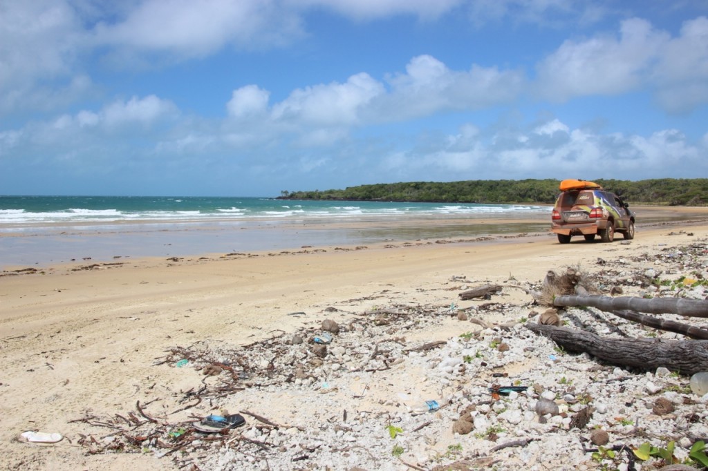
We’ve been really impressed with how clean and tidy the towns and communities have been so far, including Thursday Island. It’s a stark contrast to what we saw in the Territory and WA. And a pleasant surprise. But…..the east coast where we drove along the beach from Somerset was a disgusting pile of litter from fishing boats. There was an enormous array of plastic everything – small to large. If everyone who visited here just took one bag full of rubbish that has been washed up from the oceans, then we might get ahead. Heaven only knows how you deal with the fishermen.


A Trip To The Tip, July 1, 2015

I guess going to the most northern point on the Australian mainland is a bucket list kind of activity. Nonetheless, that’s our goal for today. But there’s a lot of beautiful country and a heap of history to see on the way.

Cape York Peninsula

Cape York Peninsula

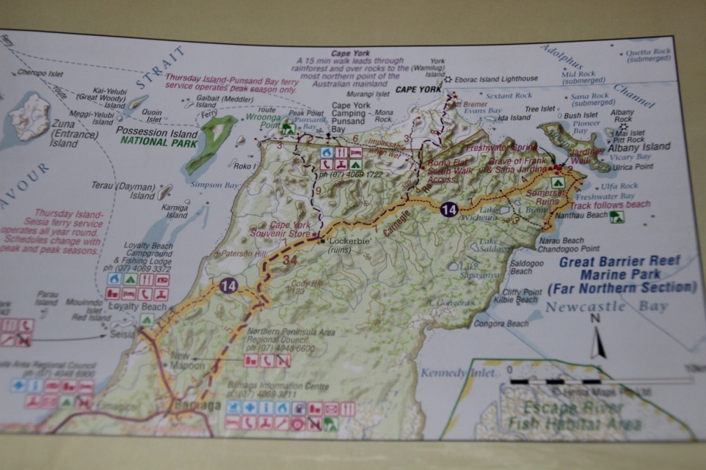
We took the back road (of course) from Seisia (on the west side of the Cape York Peninsula out to Somerset, where you can look out to Albany Island. About five years ago John paddled to New Guinea across the Torres Strait and this is where they left the mainland. They spent their first night over on Albany Island. The road out to here changes from open wooded grasslands to thick rainforest in a wink. We found ourselves driving through tunnels of trees, just like the Daintree rainforest. And then suddenly you’re on the coast. This area is called Somerset where the Jardine family established a settlement and refuge for passing ships in the 1800s. They also attempted to make a go out of farming the land. It is hard to believe anyone actually thought this was possible given the thick forest. It is virtually impenetrable. Small wonder they failed.

We visited the ruins of Somerset, and some historical graves at Somerset beach.

Somerset Beach

Somerset Beach

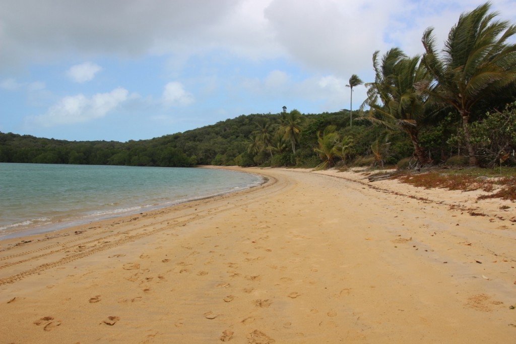
From there we followed the lesser used track (you’re getting used to the way we travel now) and popped out of the bush onto the beach.

East coast of Cape York Peninsula

East coast of Cape York Peninsula

We helped a family pull their Landrover Discovery out of the sand (no amount of shopping at ARB was going to save them from their bog) and continued south along the beach. The coast was rugged and speckled with pandanus palms. And windy. Really windy. Blow a dog off a chain windy. We found our way back to the main road and then headed north – as far as we could go!! The road winds around through one of the prettiest rain forest areas until we found the rest of humanity in the car park. But this is where a bunch of 4WDers just make their own rules – we all just parked on the beach.

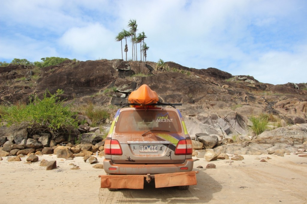
Getting some credibility with our red dust by now.

Getting some credibility with our red dust by now.

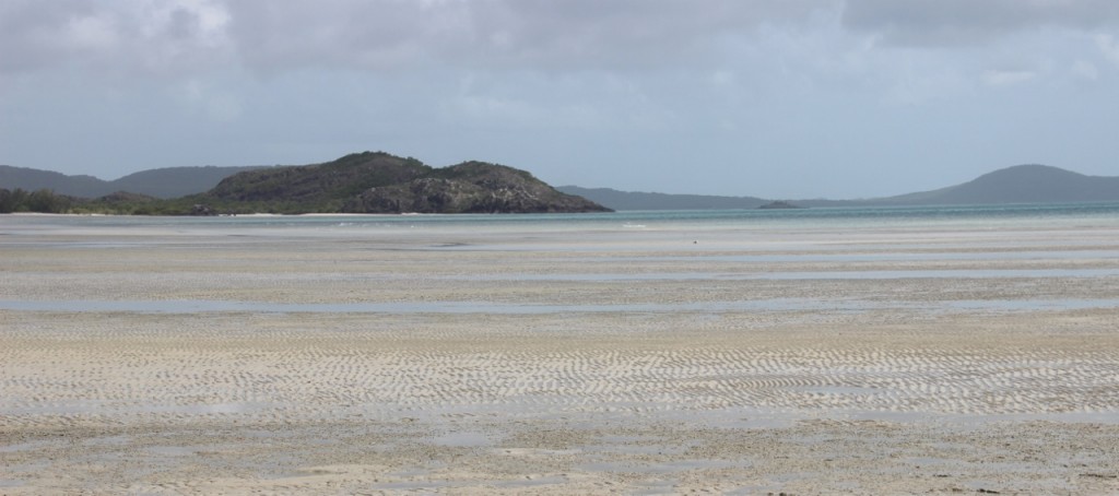
I was obviously pleased it was low tide, which made a very picturesque setting looking out at the Torres Strait.

Not a croc to be seen.

Not a croc to be seen.

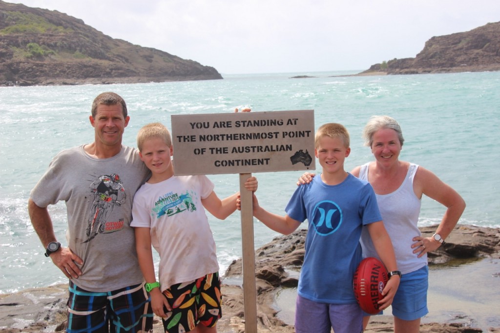
We wandered around the point at the low tide, and there it was – Cape York. It was windy and you could see the ferocious current scooting through the gap between the mainland and York Island just 150m off the coast. There’s a polite passing around of cameras so everyone gets their group photo. So here’s ours….

Cape York - with the footy.

Cape York – with the footy.

From here we took the “impassable when wet” road given that it wasn’t wet (although I’ve heard it’s still raining in Cairns). Both Fergus and Harry had a go at driving (sitting in front of John) off road, and Ferg negotiated a creek rather well. I remember sitting on Dad’s knee and steering the car as a kid, but maybe the streets of North Balwyn were easier than this!

We stopped at Punsand Bay where the camping ground is about 200 times better than the one we are staying at in Seisia. If you ever come this way – stay at Punsand Bay Camping Ground. We treated ourselves to an ice-cream and a dip in their pool (we don’t have one in Seisia). We stopped at Wroonga Point where we could see Possession Island. That’s where Captain Cook put a flag up and claimed the east coast of Australia for Great Britain. There were some campers there who had seen quite a few crocs in the water below where they were camped. So far our trip is croc free. Not sure if that’s a good thing or a bad one