We camped right next to the South Alligator River. This, in hindsight, was a BIG MISTAKE. If one mosquito sucks just 0.1ml of blood from a human, then I should have lost about 5kg that night. I cannot describe how many mozzie bites I have, so I won’t bother. Yes Mum – I still have good blood – whatever’s left of it.
During dusk, when crocs like to feed, John took the boys for (another) fishing attempt for barramundi.
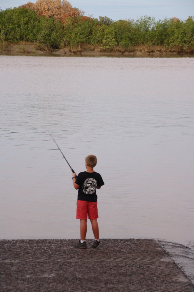
They saw several crocs just swimming around.
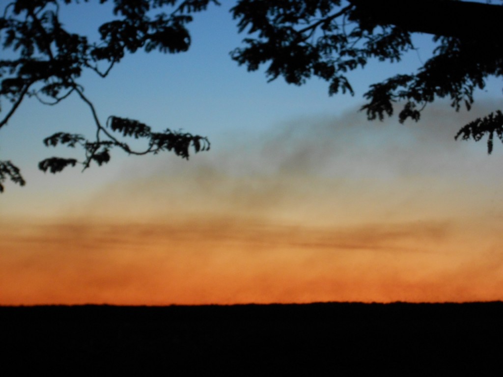
And during the feast the mozzies were having, Harry took this photo, looking west (well, clearly) and you can see smoke from the many fires that burn through the dry season.
Category Archives: 2013 Australia Trip
Rock Art in Kakadu, July 17, 2013
So what started out as a pretty sedate river boat cruise ended up with lots of action! After that we were ready for the more sedate activity of seeing aboriginal rock art.
We headed northeast from Cooinda, via Nourlangie, through Jabiru (lunch, email, phone calls, milk and Aerogard), and made our way to Ubirr, right on the edge of the Kakadu National Park. Did I mention this was the biggest National Park in Australia? Well it is.
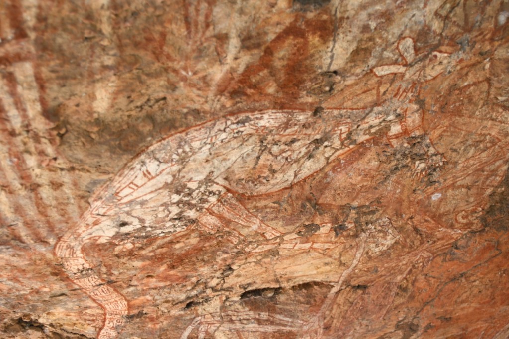
In Nourlangie we saw extensive rock art from many thousands of years ago.
Just before we got to the Ubirr site, we stopped at Cahills Crossing on the East Alligator River. This is the border between Arnhem Land and, well, the rest of Australia. You’re not allowed to go across the river without a permit, and it’s kind of like a border crossing. Not that I saw anyone checking for permits on our side.
We watched all the fisherman haul in a few barramundi while crocs swam about just metres away.
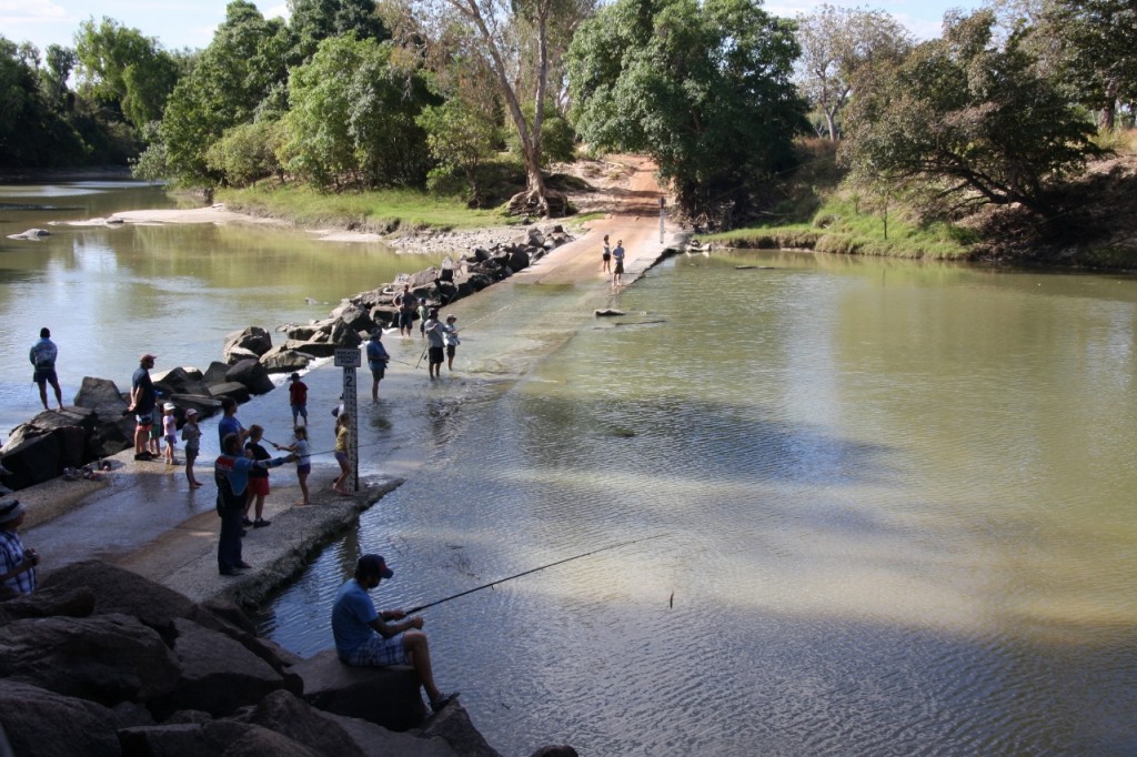
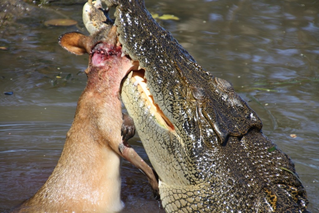
I can’t say I was completely at ease with small children so close to the water after seeing this morning’s crocodile eating a wallaby.
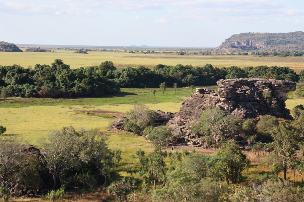
At Ubirr Rock we saw a huge range of aboriginal art. All very impressive in their detail and volume.
We climbed up to the look out for this amazing view into Arnhem land and towards the Arafura Sea.
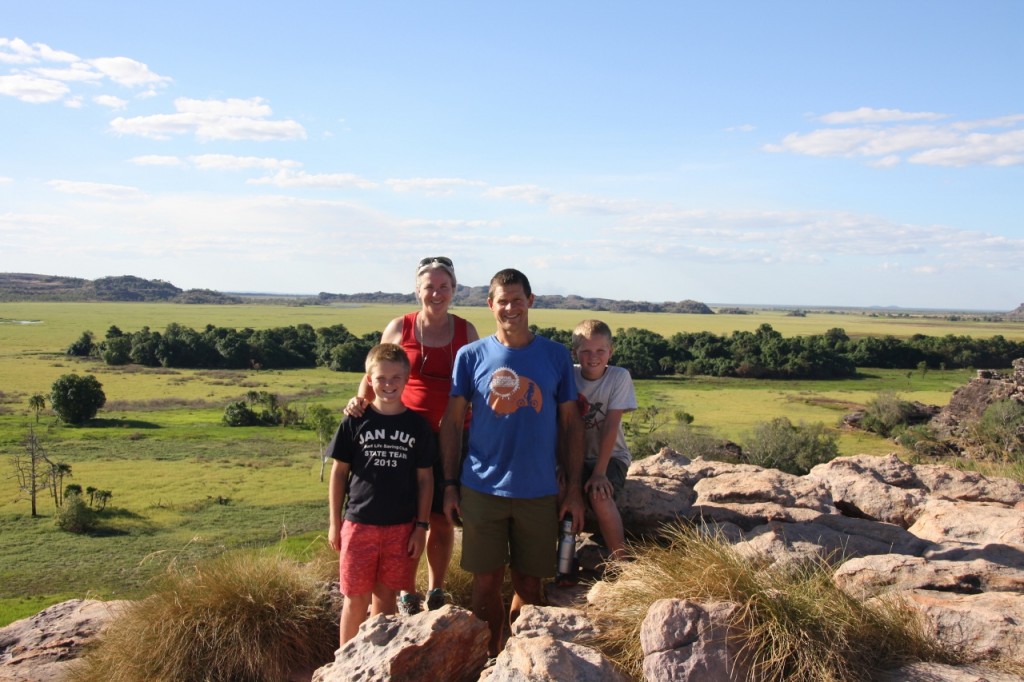
And we took the full family pic – compliments of a lovely family from New Zealand that we met a couple of days ago – and keep running into. You get that.
Croc Kill Action in Kakadu, July 17, 2013
The river cruise was going along nicely, with jokes from the tour guide’s Rule Book, plus a bonus digeridoo playing session. Not bad coming from a white fella. He certainly had the knack. Then we came across a croc that had just pounced on a small wallaby.
Cruising Yellow Water, July 17, 2013
We pulled out of Jim Jim Falls camping area to get to Cooinda/Yellow Water to be on the 9am river cruise boat. Not being the leader of early mornings, I still managed to join the enthusiasm of being fed and packed and on the road by 7.30am. I even amaze myself sometimes. I even worked out how to add the READ MORE option to these posts. So click on the MORE thingy and we’ll see if it works.
A Day of Falls and Gorges, July 16, 2013
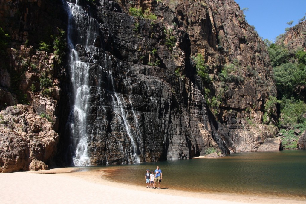
We spent a quiet evening not far from the Barramundi Creek and then moved on to Jim Jim Falls camping ground. It’s about 57km off the main road and they say it’s four wheel drive only. I think they do that to stop the hire cars suffering the many corrugations, but it’s not really 4WD only. The camping ground is in a beautiful quiet place. We dropped the trailer and headed off to see Twins Falls – imaginatively names for its twin waterfalls, flowing into, you guessed it, the Twin Falls Creek. There is a river crossing to get there (okay, so the 2WDs would definitely not make it across this – although one of the ubiquitous Wicked Campers did attempt the crossing last week, and got stuck half way). You can’t walk all the way to Twin Falls, so National Parks operates a small boat upstream for about 15 minutes where you can then continue on foot. This is so people don’t swim upstream – and make themselves crocodile food.
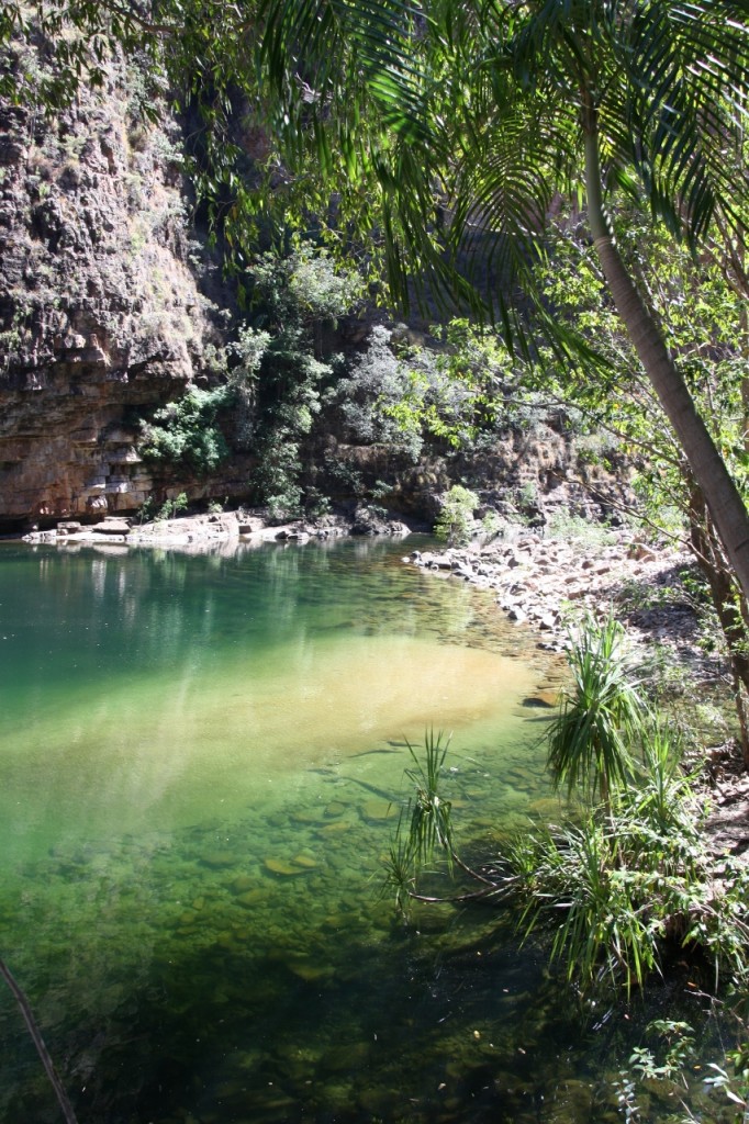
It’s like a tropical dream – but you can’t swim here!
There’s a bit of rock hopping to reach this amazing spot……
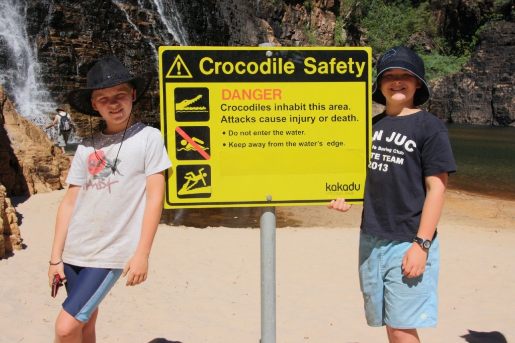
And somehow the peace and serenity is just a little dented by these big yellow signs.
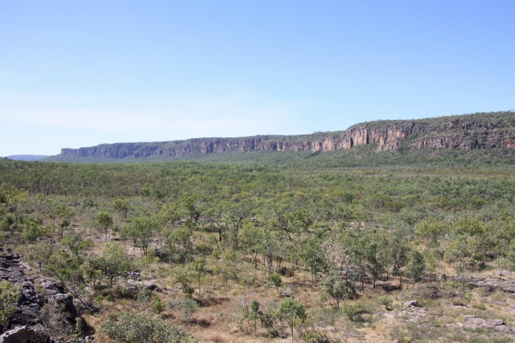
After the return river crossing, there’s a short walk to Budjmii Lookout. This great view of the escarpment greeted us as we popped our heads over the rocks at the end of the climb.
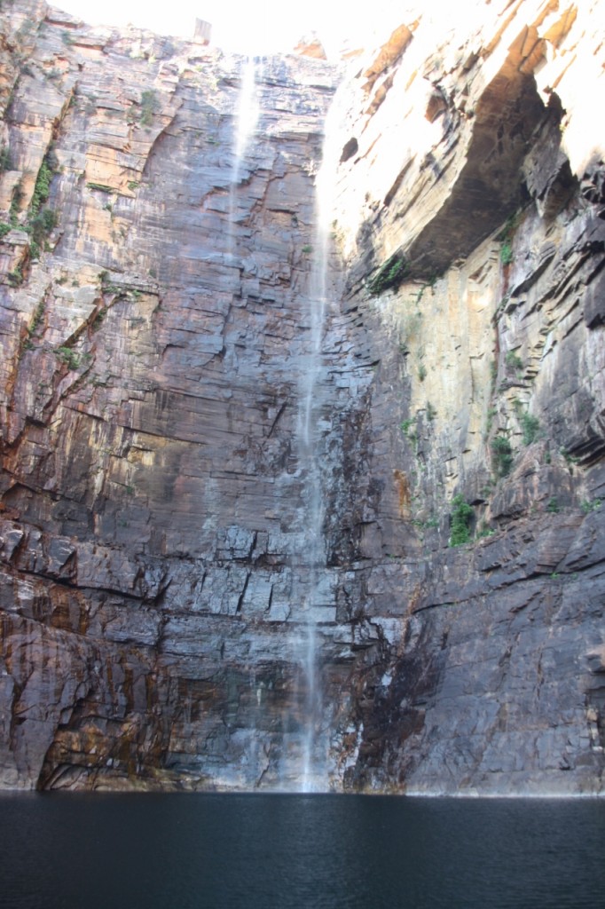
Onto Jim Jim Falls. This is a rather well known spot, and requires about a kilometre of clambering over rocks – but worth every step of the way. The falls are 215m high and were flowing quite spectacularly, although they can dry up in the dry season. The gorge is epic.
The boys swam across the pool to the waterfall for a refreshing shower. The water was freezing! You can’t even see them – but Ferg is almost at the foot of the falls, and John and Harry are standing on a ledge under the falls.
You can clamber further round the end of the gorge to a pristine white sandy beach and bask in the sun, or swim in the clear water.
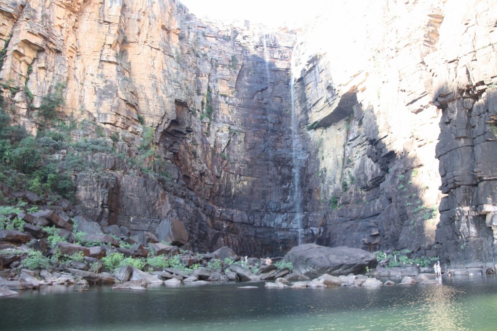
Here’s a different view of the Falls, from further back.
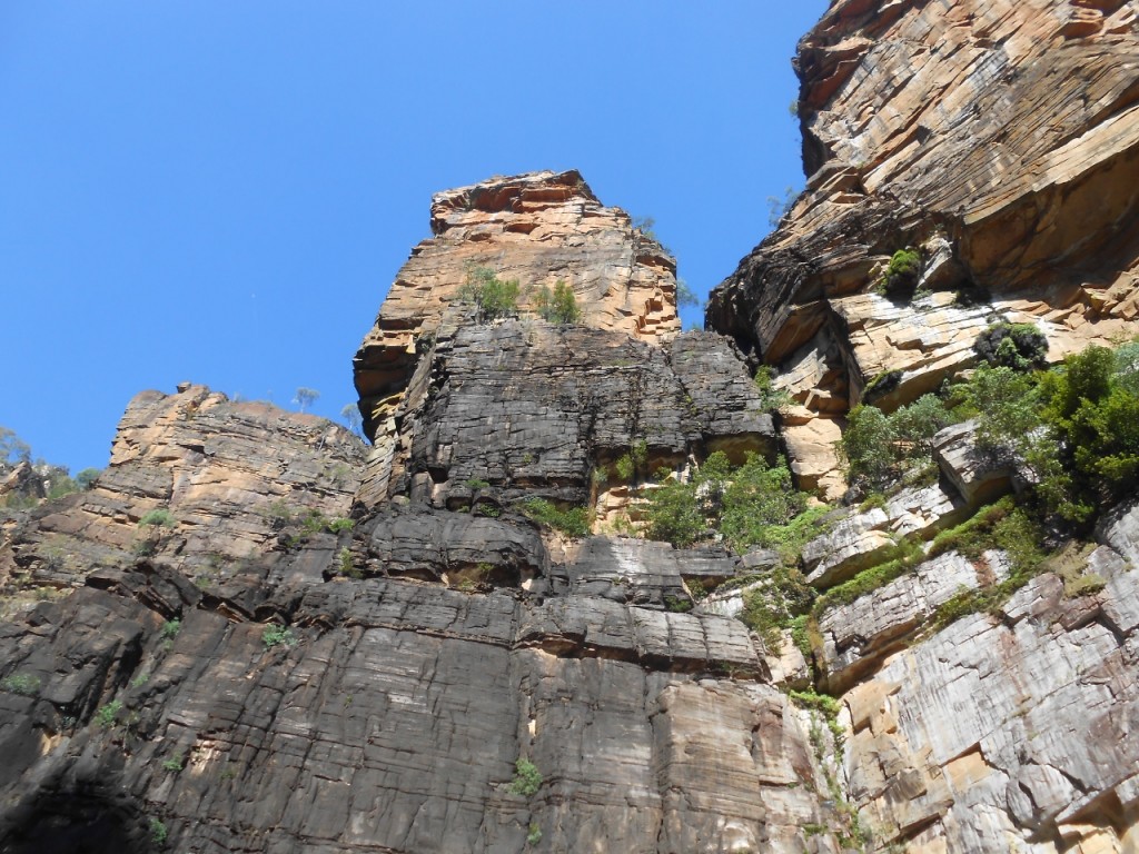
Harry took this one (below) looking up at the towering cliff tops above us.
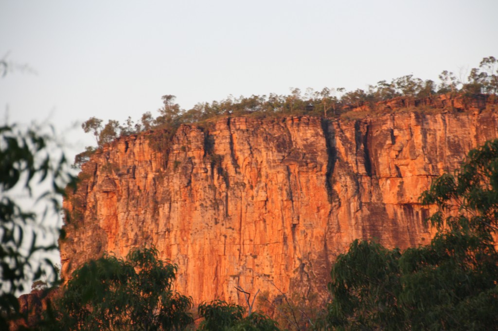
We had a lovely evening near the Falls where the sun lit up the escarpment with the Top End hues we see in the brochures.

