A Love Affair with Boabs, July 23, 2013

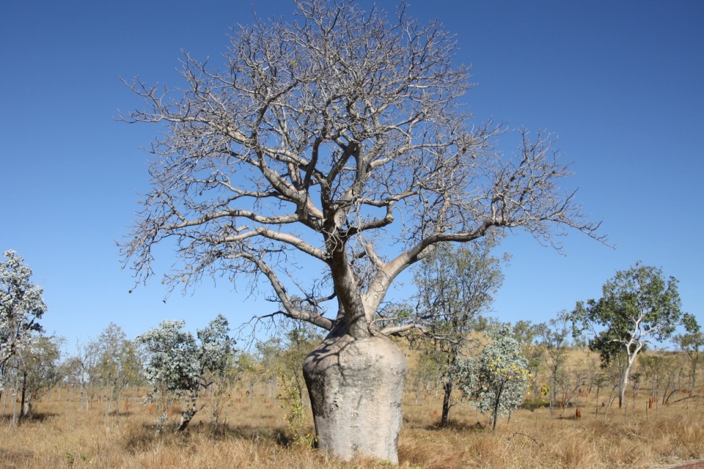
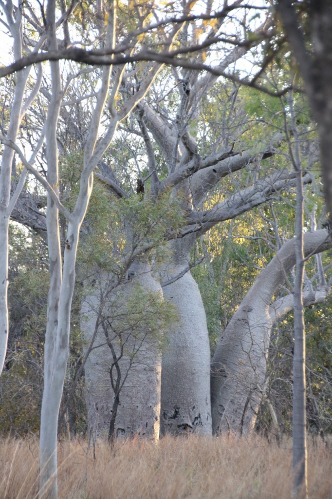
Please bear with me as I indulge my passion for the stunning Boab trees. These are my absolute favourite tree. Even better than the Ghost Gums.

Bullita HS Camp

They are found here in the Victoria River and Fitzmaurice River basins in the Northern Territory, and, as everyone knows, all across the Kimberley. As it’s the dry season, they have all lost their leaves – being a deciduous tree. They all have a different personality. The shapes vary from classic bottle shape, to quite consistently fat all the way up the trunk, to almost grotesque and deformed. And they all deserve a hug!
Continue reading

Looking for Limestone, July 23, 2013

We had decided to head south from Victoria Highway down Binns Track (which actually goes all the way to Alice) for about 45km to get to Limestone Gorge. The road is dirt, with hardly any corrugations, but lots of Dips – dry creek crossings. Dips are good for making the boys feel sick when they’re reading.

Unfortunately the Gorge access road is closed due to consistent flood damage, so we stopped at nearby Bullita Homestead Campground.

This is the Boab tree on the turnoff to Bullita, below

Bullita HS Camp

Now isn’t that just that just the most gorgeous tree? I just LOVE Boab trees!

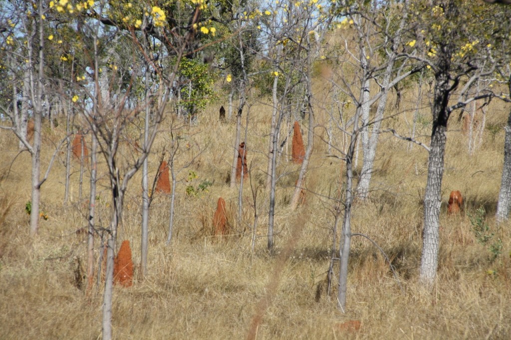
The surrounding bush was filled with red termite hills, and Kapok trees – they’re the ones with the yellow flowers below.

Bullita HS Camp
Continue reading

Go West Young Man, July 23, 2013

To get to the Victoria Highway that takes you to WA, you have to head west from Katherine. Darwin is way more north than you think. The whole Kimberley is further south than Darwin. So back to Katherine we go – along with the entire travelling population. The Cars Towing Anything car park in Katherine is a sight to behold. So we joined the crowds of Nomads in their caravans/motorhomes/fifth wheelers and Europeans in their Britz/Apollo/Maui Campers and did our chores in “town” before heading for new frontiers in the west.
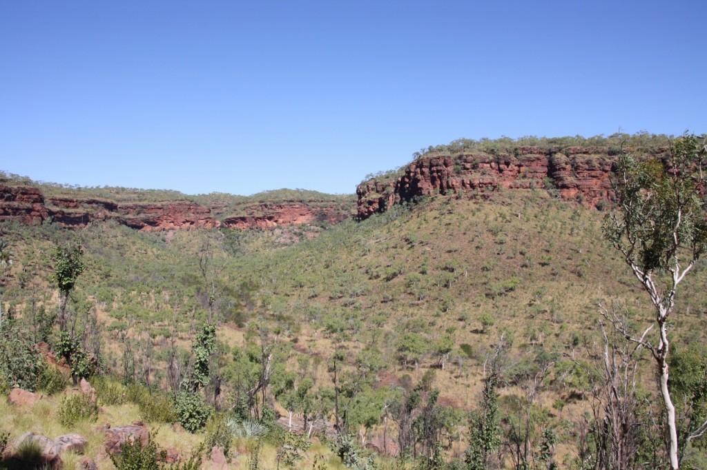
The landscape around Victoria Highway (you’ll note – nowhere near Victoria) soon changes to rugged cattle country, with extensive escarpments of red, craggy outcrops, well treed, but with little undergrowth.

Joe Creek walk near Vic DownsWe stopped just west of Victoria Downs Roadhouse to do a short walk and started chatting with some Nomads who had also stopped for lunch there. It was MY turn to meet someone we know. Turns out this lovely couple was from Torquay and used to be my customers at Torquay Pharmacy. Small world indeed. John has already run into people he knows: we saw two competitors from the Alice Springs event in Kakadu, and then he also ran into (and then had a morning MTB ride with) two other riders from the same race in Darwin one morning.
But back to the walk! It was at Joe’s Creek and took us right to the base of the escarpment. The view from there was like an amphitheatre of red rock surrounding the valley below where the wet season would see the Joe’s Creek run.
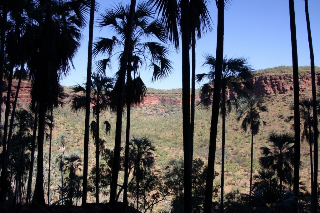
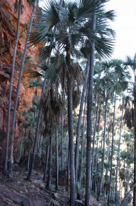
Here’s a great view looking through the palms:

Joe Creek walk near Vic Downs The palms above us constantly rustled in the breeze, and we kept looking behind thinking someone was there.

Joe Creek walk near Vic Downs

Edith Falls, July 22, 2013

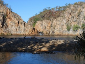
Leliyn (otherwise known as Edith Falls) is actually part of Nitmiluk (Katherine Gorge NP) even though it is some 40km to the north. We headed in there (20km east of the highway) towards the end of the day. There is a waterfall and pool that is safe to swim.
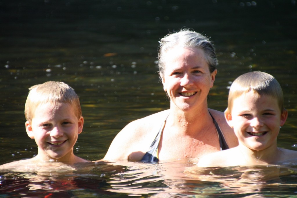
I promise this will be the last “falls and swim” photo (at least for a while) but it was a cool place to be at the end of a hot day. The pool was enormous – must have been the size of a footy field. The boys swam to the falls and jumped off the rocks more times than I remember.

DSCN3622 (1280x960)

The camping area was full as a fat lady’s sock, so we headed out for a bush camp. It was stupendous! There was a breeze, which means one beautiful thing to me: NO MOSQUITOES. My itching limbs are starting to give my fingernails a rest.
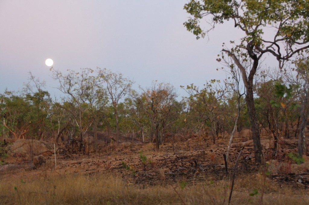
The moonrise was worth the photo – a whopping big full moon.
IMG_3718 (1280x853)

Beat the Crowds, July 22, 2013

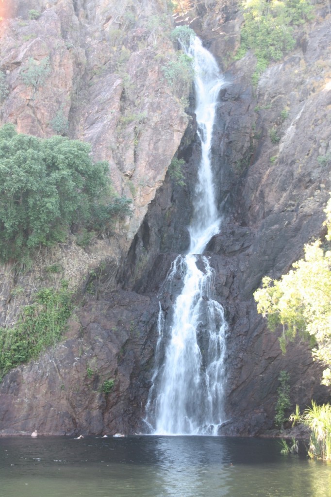
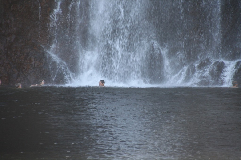
We arrived at Wangi Falls by about 9.30am. These falls are Litchfield’s most popular attraction, so it was good to beat the crowds. The falls run all year round, and the pool is huge!
Wangi Falls Litchfield NP
You can see the boys swimming just below the falls in the photo above. And of course they had the obligatory shower:
Wangi Falls Litchfield NP
And here’s one for mum – a photo with me in it!!
Wangi Falls Litchfield NP
There’s a flash café serving coffee that’s not flash (4/10 again) and overpriced food. So we moved on.
We wanted to take a 4WD road (Reynolds Road) that heads south and exits Litchfield NP taking you down on the Daly River Road to save us backtracking to the Stuart Highway, but the road was closed, so backtrack it was.
John (famed for finding a short cut, albeit one that takes longer) did take us on an alternate route from the lovely town of Batchelor (formerly part of the Jungle Rum Uranium mining lease) to the town of Adelaide River.
Here, we visited the Adelaide River War Cemetery, the largest was cemetery in Australia. It has the graves of over 400 people who lost their lives during the bombing of the early 40s.
Adelaide River War Cemetery