Not all Gorges are The Same! August 16, 2013

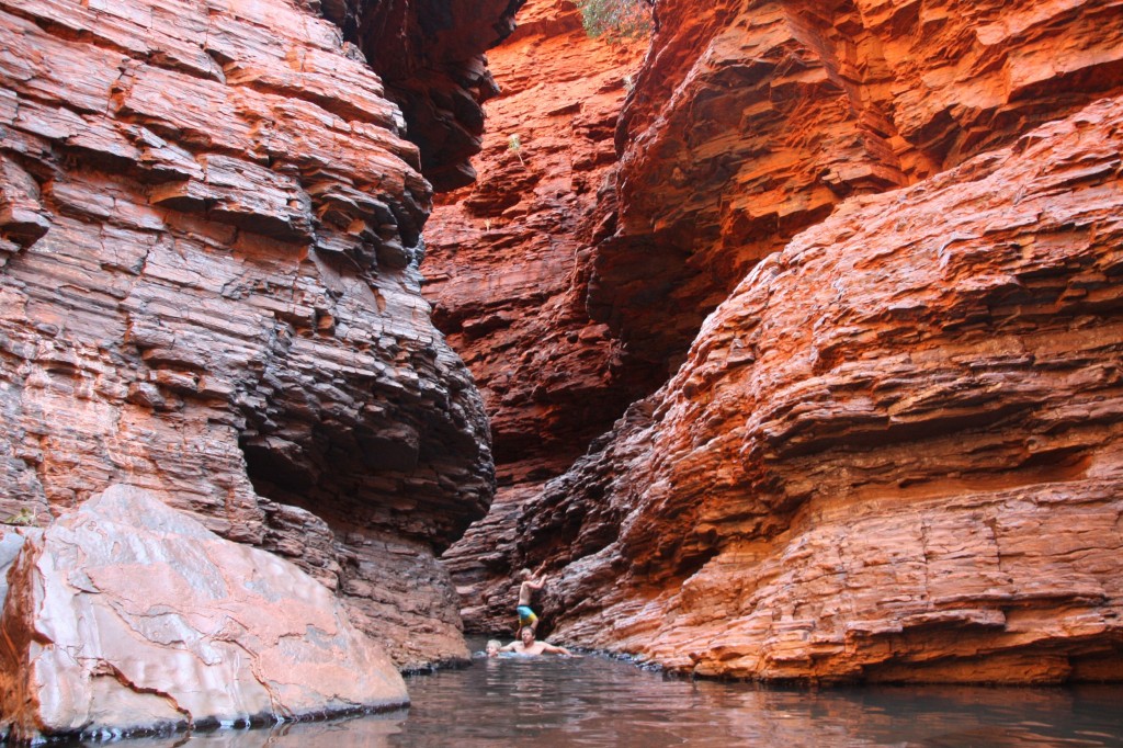
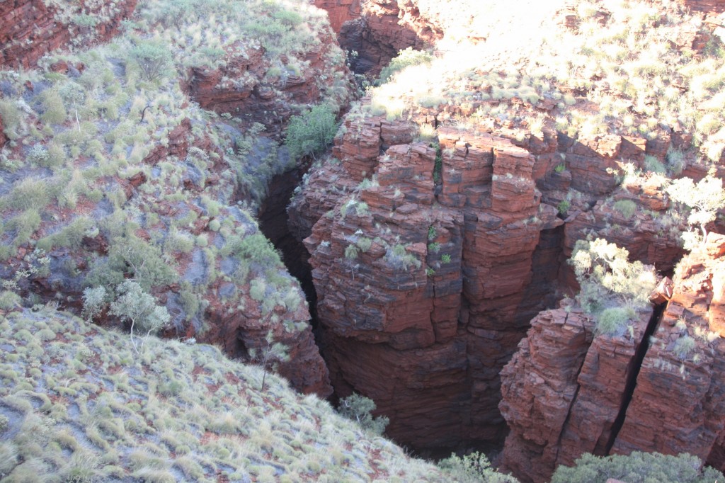
You’d think that after all the gorges we saw in the Kimberley, we would have had enough. But here in Karijini, it’s different. The colour of the dirt seems richer, the mountains seem more rugged and the gorges are deeper, more hidden from the sun. The pools are positively freezing.

Karijini

Above, you can see what I mean – the sun just doesn’t get in – but we do!

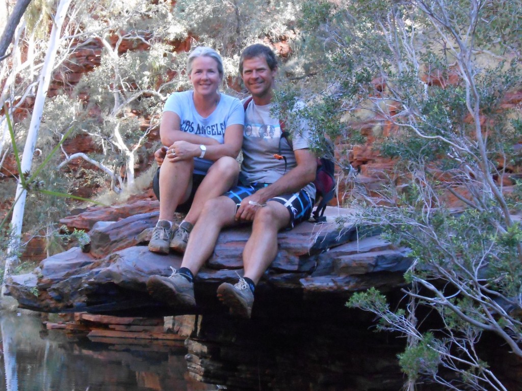
We entered Karijini from the eastern side and went to Dales Gorge first. Once you descend to the bottom, you get to Circular Pool where the boys had a swim in the icy water, even though it was only 9am, and certainly not hot yet. The walk along the base of the gorge was very picturesque – so Harry took a picture for our mums!

DSCN4126 (2500x1877)

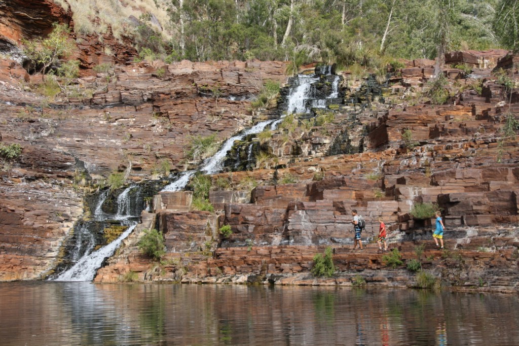
At the other end of the gorge is Fortesque Falls.

Fortesque Falls Karijini

Of course they went swimming again. We haven’t had a shower for a few days, so Harry took the opportunity to clean up.


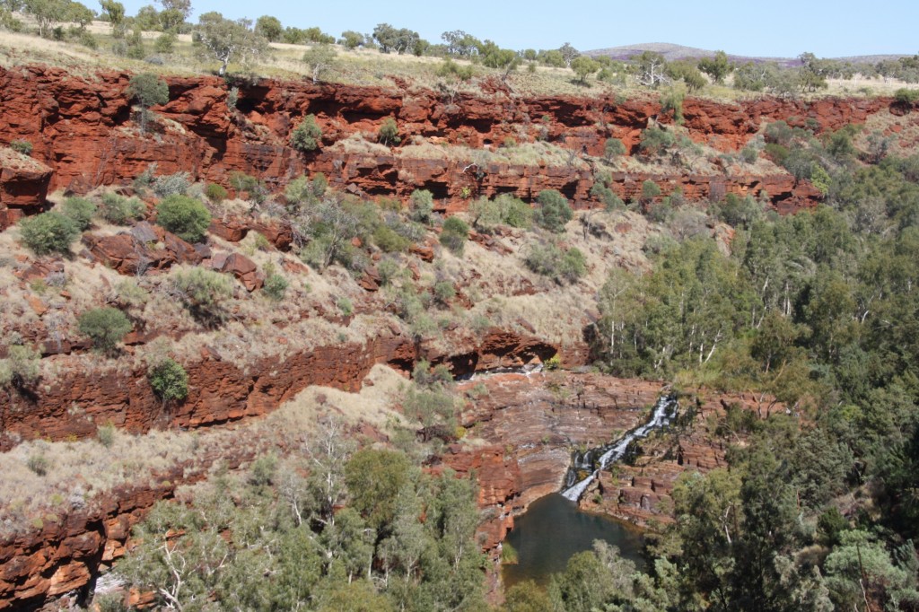
Once you get back to the top of the gorge, you get a fantastic view down to the falls where we had just been.

Fortesque Falls Karijini

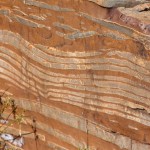
The geology of the area is fascinating, and the rock formations are continually changing. Sometimes it looks like sliced bread, and sometimes like marble cake.

Next up it was Weano Gorge. The walk down this one was pretty easy, with a kilometre wander along the base. Then you continue to Handrail Pool, so named because of the railing they’ve installed so you can get down to the pool. Not after Mr. Handrail.

Weano Gorge

We then swam through this pool to continue to the end. It was very cool.

There are two camping grounds here, and the roads are all dirt, but we reckon they’re really good dirt roads after where we’ve been! Nonetheless, it’s safe to say this is a Nomad-free zone. That would be partly due to the roads, and partly because no titanium hip or knee would make it up and down these gorges – mine can only just do it! So we are surrounded by Germans, Japanese, Americans and some other families. I guess this means their international marketing is working.

Picturesque Port Hedland (?!), August 15, 2013

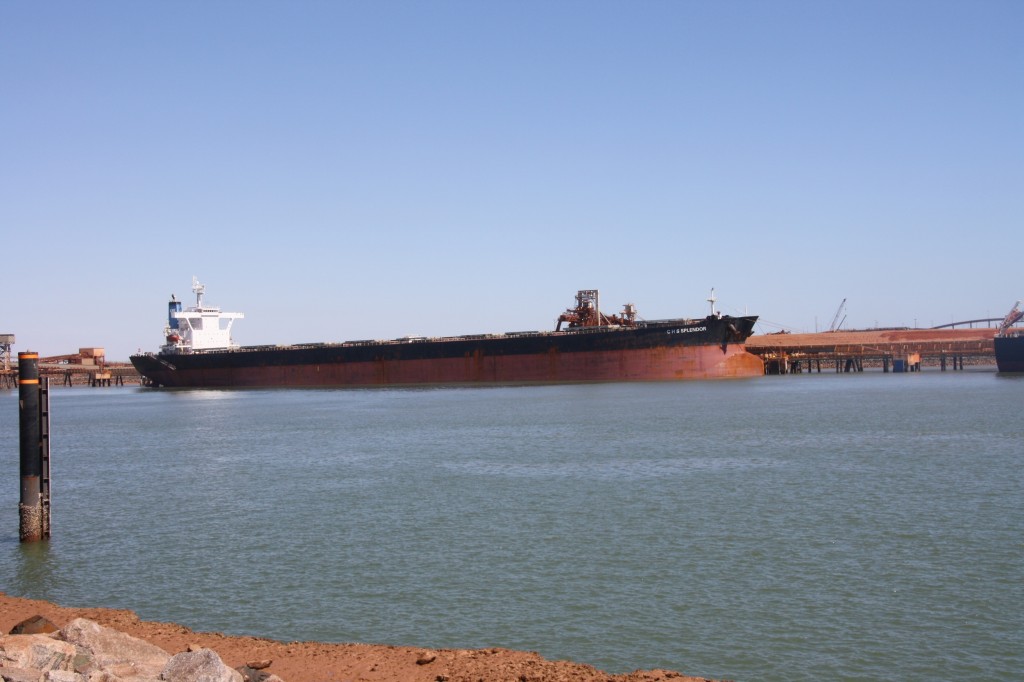
Just 150km into Port Hedland this morning. I was interested to see the changes at Hedland since I worked there in 1989. It’s your typical mining town, except that it was there before the iron ore was discovered. So it has some pastoral history, and the port existed before the huge ships arrived to take the iron ore to Asia. Hedland has the rail line from Newman, where you see trains hauling cars full of iron ore that can be kilometres long. There’s the huge piles of salt – like mountains of snow. The port is dredged deep to let the massive ships sail up the channel.

IMG_4358 (2500x1667)

And everything – absolutely everything – is covered in red dirt. Picturesque indeed.

What is different to my last visit? Well, the Esplanade Hotel has been reinvented, including the fact that the staff are fully dressed (I’m quoting another source here, as we didn’t check), and there’s cute arty places dotted around – nothing like that in 1989! BHP Billiton has improved the community facilities, built some lovely parks and open spaces. A much bigger effort than Newman Mining in my day. The yacht club has moved up from a tin shed to a ritzy modern building. And the hospital where I worked has shut down – they’ve built a whole new hospital in South Hedland. The view from the unit I lived in has changed too – they’ve built a car park on the mangrove flats! Beach front real estate is going gang busters, and I think it’s safe to say the mining boom is alive and well in Port Hedland.

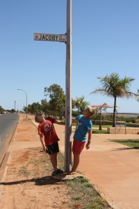
We did come across Jacoby Street whilst cruising round town! Compulsory photo opportunity…..

IMG_4360 (1667x2500)

From Port Hedland it’s about 230km inland to the Hamersley Range. The National Park is called Karijini and we are on our way to see the gorges there. Once we left the coast, the traffic went crazy. Road trains were a dime a dozen, all hauling at least three trailers. This road is the route they take from Perth to the north, rather than the coast road. The landscape suddenly changed to look just like Central Australia. The hills were craggy red rock, with spinifex evenly dotted on the slopes and the flat plains.

We pulled off the road for a bush camp, only about 50km from Karijini. Damper’s been cooked and eaten, boys are asleep, and I think the traffic has quietened to a dull roar.

Just Down The Road, August 14, 2013

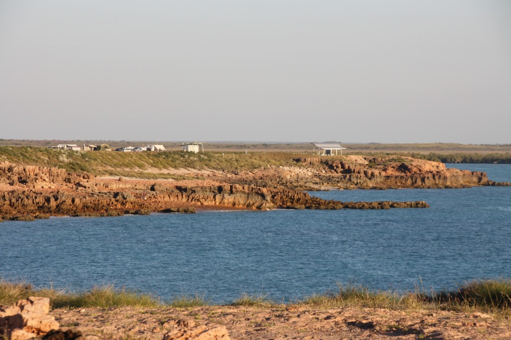
We left the crew at Barn Hill and kept heading southish along the Great Northern Highway. There’s not much along this stretch of road. Just two roadhouses – Sandfire and Pardoo. That covers it. We skipped the Eighty Mile Beach turn off as it’s thirty odd kilometres to the coast, and said to be midgee/sandfly/mosquito hell. So we kept going to Cape Keraudren, right at the southern end of Eighty Mile Beach. This is a National Park Reserve. It’s a typical coastal environment with not a tree in sight. There’s vehicle tracks all over the cape and lots of camping options, but no shade!

Here’s where we ended up – pretty quiet and relaxed.

IMG_4344 (2500x1667)

John and the boys went for a dive, but John’s (new) spear gun broke on the first hit, the visibility was tragic and anyway, I’d already defrosted the chicken in anticipation. I walked out to the point and had a great view of Eighty Mile Beach.

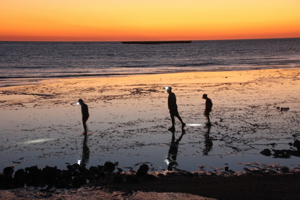
Once the tide was out, John and the boys went to look for the missing piece from the spear gun. They were quite a sight going in circles round the mud flats with head torches.

IMG_4352 (2500x1667)

Harry found it – and won three nights off washing the dishes. He’s pretty happy about that! John was pretty happy too, although the job of fixing it is yet to be done. Where are you when we need you Roy? I maintain that buying a spear gun from the Chinese General Store in Broome (what we would call the $2 shop at home) was a big mistake, and the local dive shop may have been a better option. Happy to eat my words when (if) John fixes it, and subsequently catches our dinner. I’ll keep you posted.

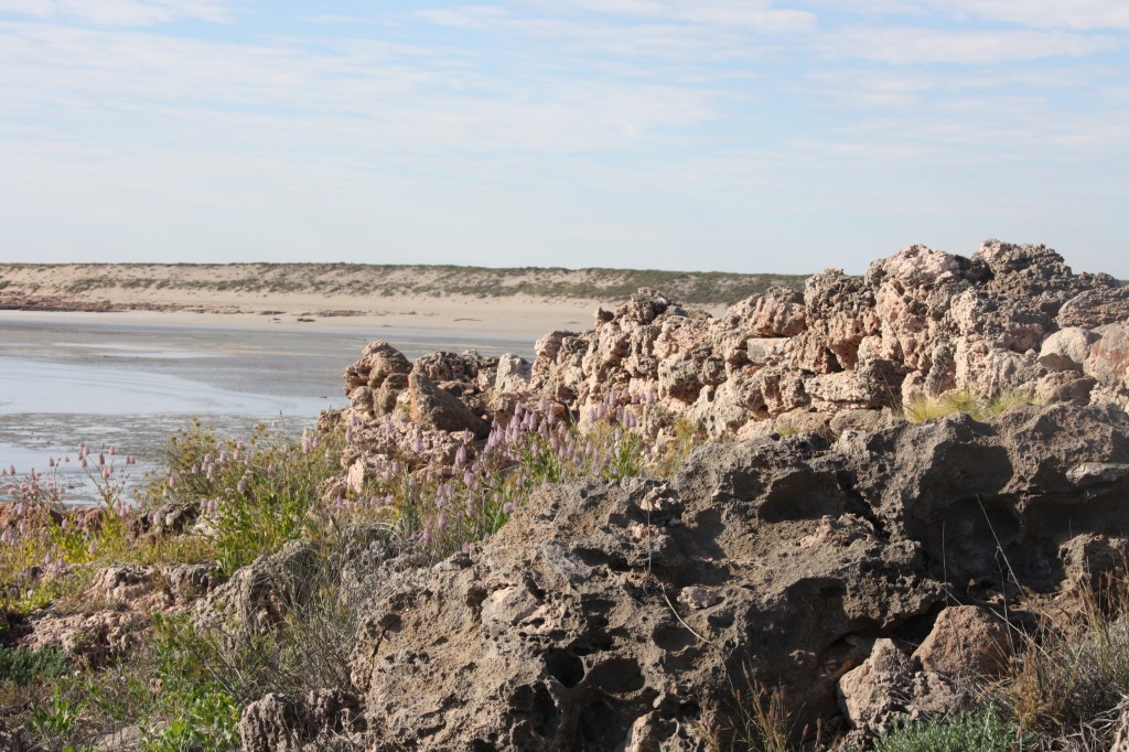
This is also the site of the remnants of the original Number 1 Rabbit Proof Fence made of stones, completed in 1907 which started on the south coast of WA – 1800km away. That’s a lot of rocks.

IMG_4356 (2500x1667)

Eighty Mile Beach in the background.

Goodbye Boabs, August 13, 2013

It’s also goodbye to the snow prices, I hope. We may have traded our week at the snow for this trip, but the prices are the same! High season is high season – wherever you go.
Leaving Broome means leaving my faves – the Boab trees. But I do have a lot of photos of my friendly buddies to remind me of them. We’re headed south (it’s actually south west along the coast if you care to check the map). The landscape is suddenly treeless, and flat as we travel across the edge of the Great Sandy Desert. There’s no fires or smoke. There’s nothing at all as far as you can see!
It gets light very early – around 5.45am at the moment, and as soon as the sun is up it’s hot. I can’t believe how hot it is by 8am! At night, the temperature drops off and the dew comes down. There’s so much moisture in the air that the rain radar says it’s raining all along the coast. I can assure you, there’s no rain here.
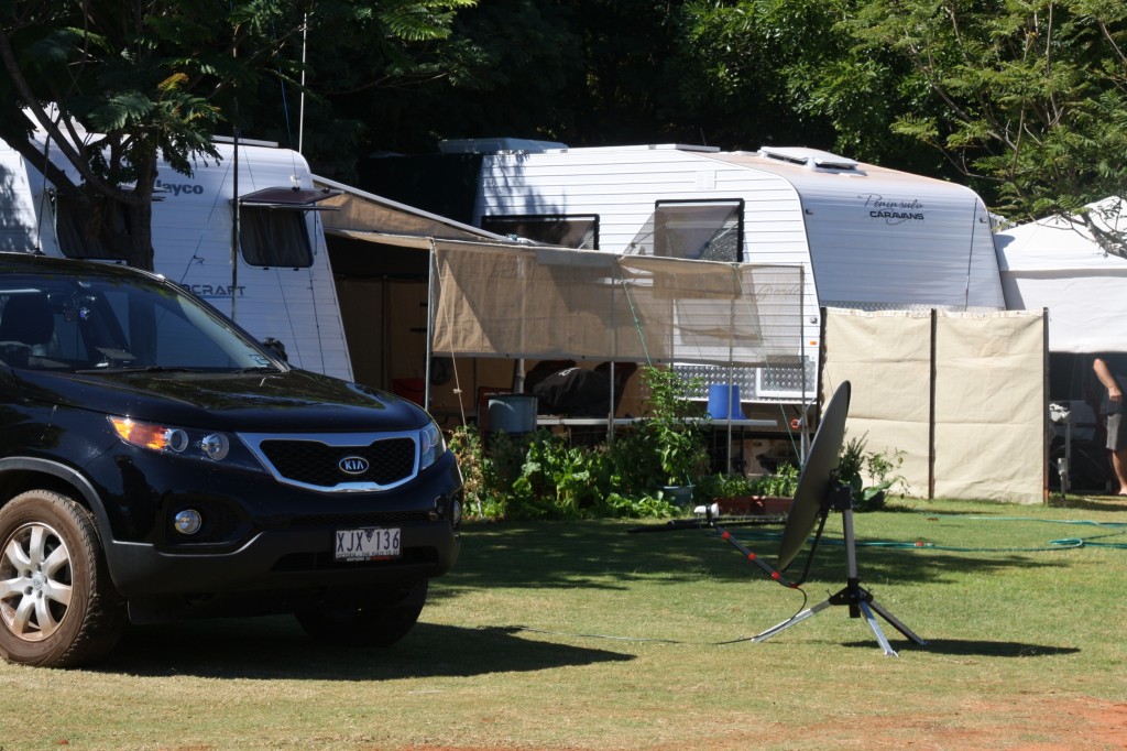
We didn’t go far today. About 130km to Barn Hill, 10km off the highway on Thangoo Station. This place was an amazing hub of likeminded vanners (okay, Grey Nomads) all huddled under the shade of a stand of trees. The unpowered sites (used only by people like us who don’t have satellite dishes for our tv) get the treeless dirt patch on the edge of the grassy oasis. The satellite dishes allow the Nomads to watch the afternoon soapies in the comfort of their caravans – no kidding – I heard it through the windows!
IMG_4339 (2500x1667)Above: Spotless car, satellite dish, personal garden, green, green grass – Luxury!

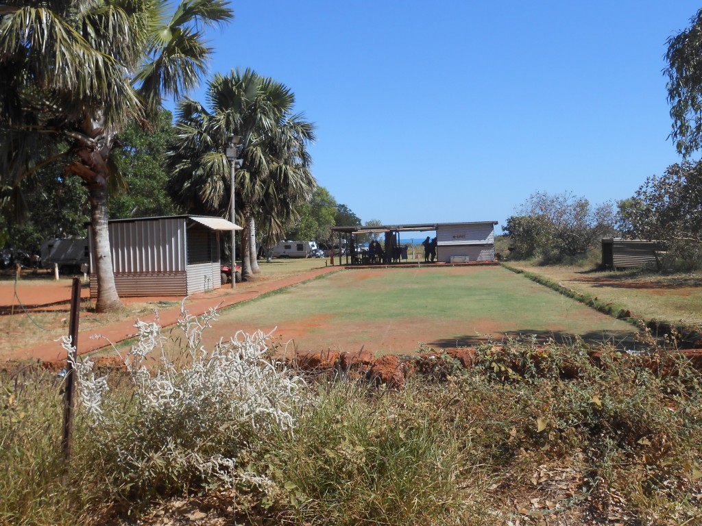
The grass was quality golf course standard, and many of the campers had their own vegie patch happening. There’s a two lane homemade bowling green, which was the scene of a feisty competition while we were there. Watching the bowls match was a line of spectators in their folding chairs, some cheering, some crocheting (true!), others just waiting their turn to show off their skills.
DSCN3895 (2500x1875)
You can join in Tai Chi every morning at 9am. Then on Sundays it’s the famous roast for $15 a head, including Pavlova (bring your own chair). There’s a sign in the toilet block (which has no roof) that someone’s selling scones, knives can be sharpened at Site 32, and BBQ night is Thursdays. You have to bring everything for that one – meat, plates, table and your chair. Begs the question.
Don’t forget the market on Saturdays – I think that’s when they sell the excess fruit and veg they grow! The cars are pristine, wiped down every morning after the dew. And the parties! They know how to party. Just near us was a crew of at least 12 having a dinner party in their annex. One couple even drove to it from their own caravan – and tooted goodbye as they left. Nice homely touch.
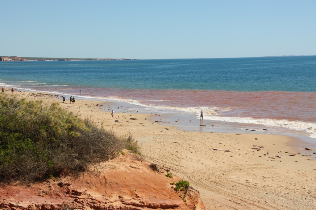
We were right on the beach, and could listen to the waves at night (when the parties were over). Just like at home really. The red dirt colours the water, somehow. It’s certainly not the rain that’s washing it in there!
IMG_4335 (2500x1667)
The boys went for yet another fishing attempt. Or is that wishing? Sausages for dinner.
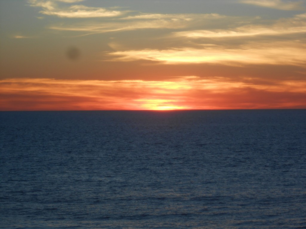
Harry captured another great sunset over the Indian Ocean.
DSCN4056 (2500x1875)
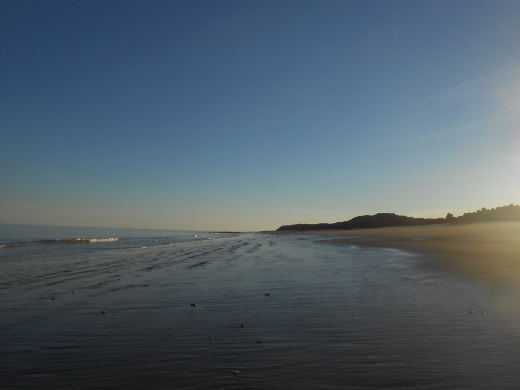
And Fergus was up for the sunrise.
DSCN3868 (2500x1875)

Footprints In The Rocks, August 12, 2013

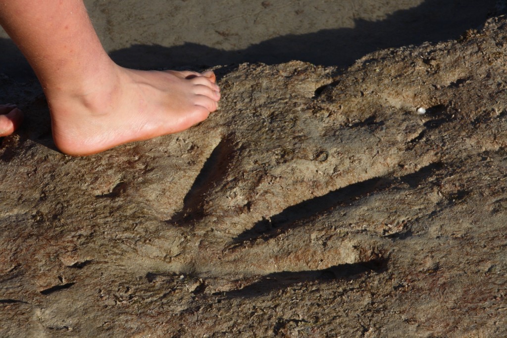
135 million years ago, give or take, dinosaurs were the locals here. There are several footprint marks in the rock at Gantheaume Point which can only be seen at low tide. So we went at low tide!
IMG_4323 (2500x1667)
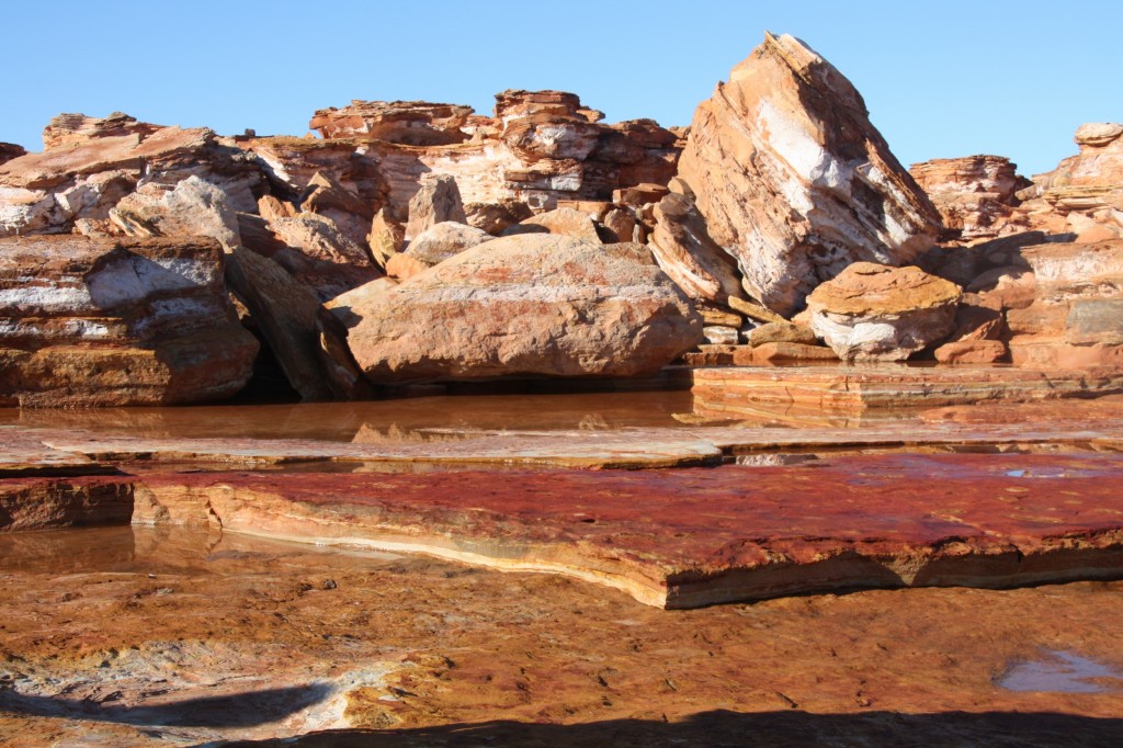
As it was early, the sun made the rocks around the point light up.
IMG_4329 (2500x1667)
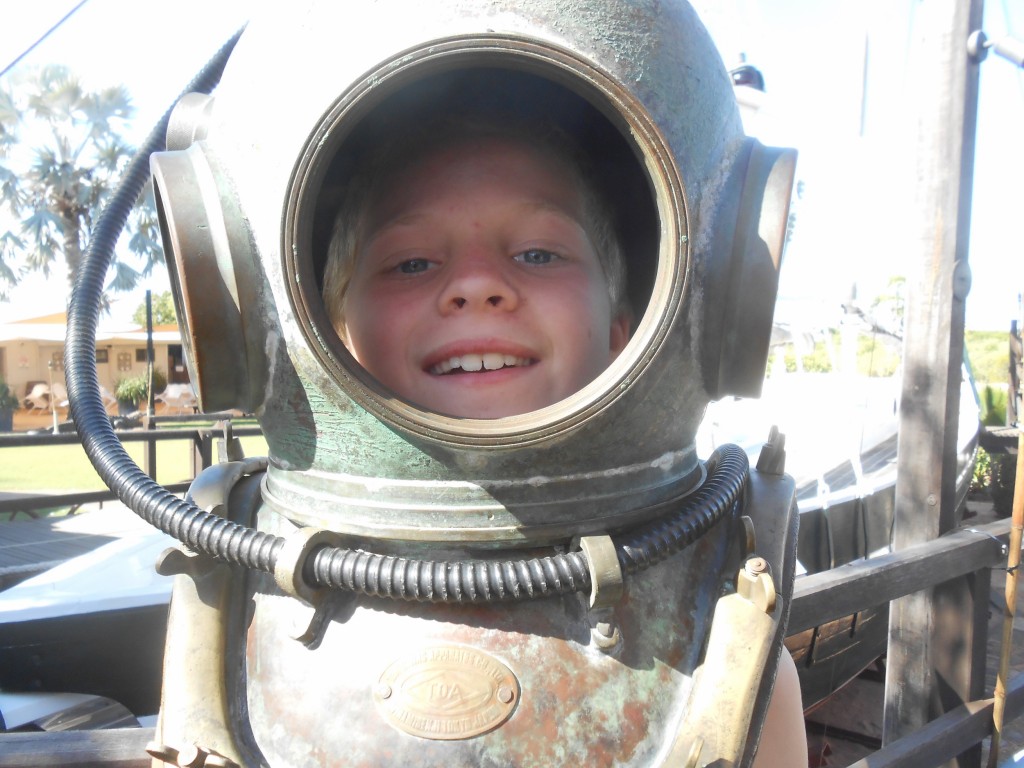
We also saw an old pearl lugger boat, and learnt some of the history of the industry. Did you think Harry wouldn’t ask for a photo like this?
DSCN4046 (2500x1875)
Broome is old, and it’s new. It’s hot by 8am, and the dew overnight will soak your washing. It’s crowded with travellers, backpackers, package holiday people and it’s the hub for Kimberley tourism. It’s a refuel at the start or the end of the Gibb River Road trek.
It would be nice to visit another time when it’s not so busy, because it really is beautiful.
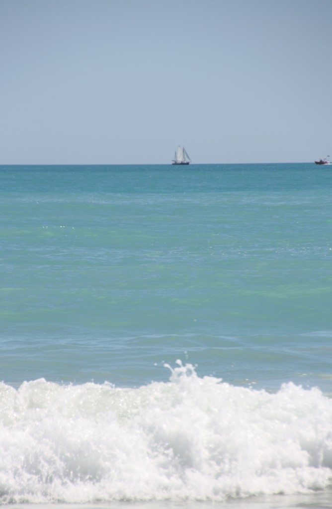
IMG_4313 (1667x2500)