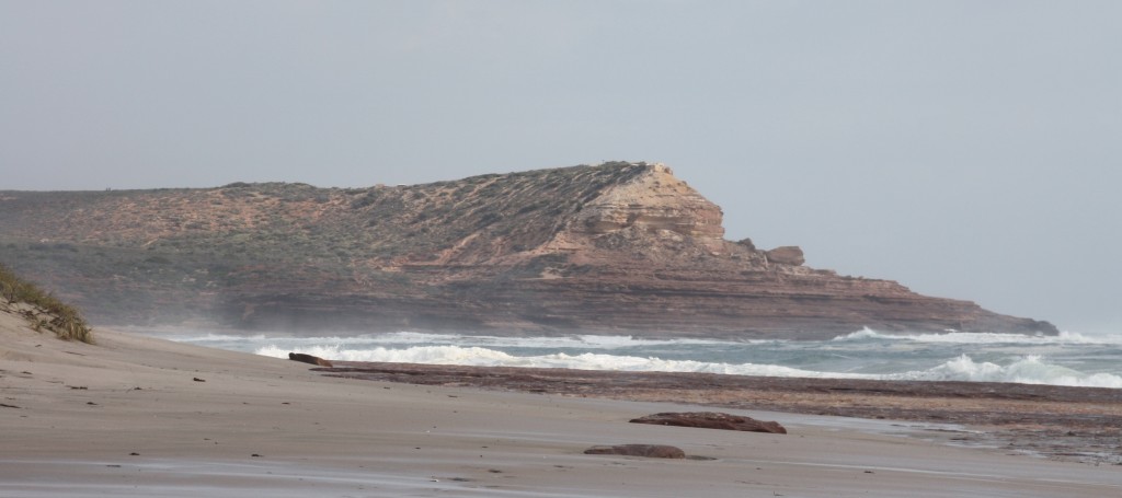
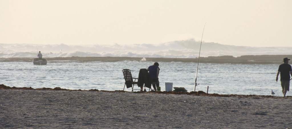
Just One More Surf…… Again, September 4, 2013

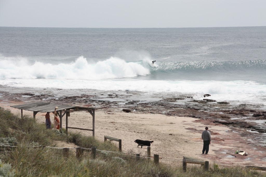
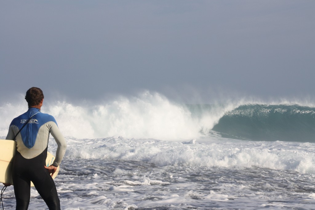
John did his usual surf check – by bike today, and reported back with a negative. Time to move on. Jakes was not going to perform today. So we ate and packed and did some ‘town jobs’. Then on our way out of town, we had to take a quick look at Jakes. The locals were out there. That means it’s okay to go. So, just one more surf.

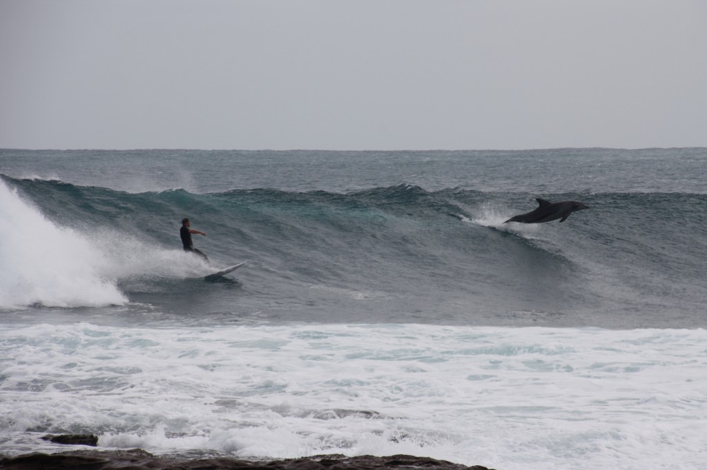
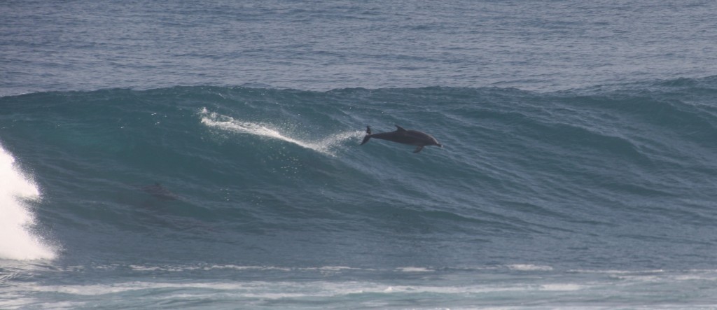
When I say ‘locals’, I don’t just mean the human kind.

IMG_5486 (2500x1667)

Come on, you have to agree, this is better than seeing dolphins being hand fed at Monkey Mia.

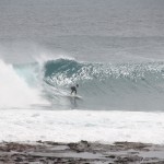
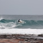
Now the funny thing is, the locals (I mean surfers this time) all left the water, leaving the sacred Jakes all to just John. So where were you Anthony?

IMG_5533 (2500x1629)

IMG_5534 (2500x1667)

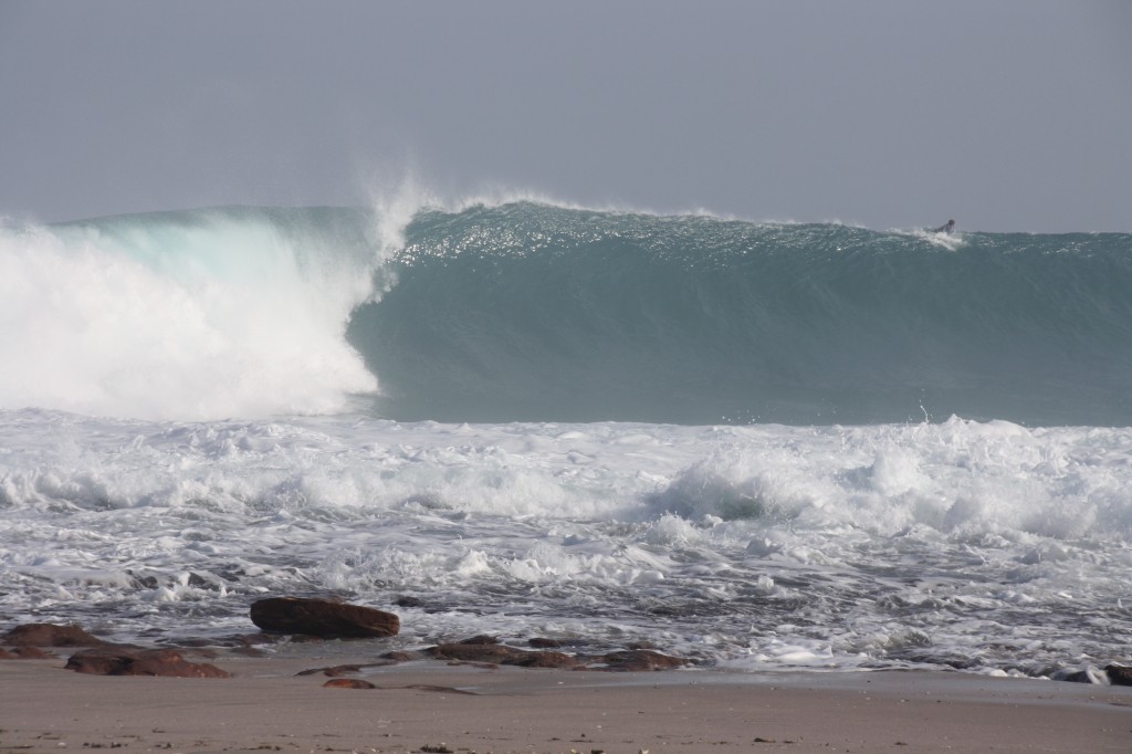
I have to put these next photos up, just because it’s Jakes. Then Roy can text me and say it was really only 3-4 ft, and John was just dreaming.

Eddie would probably have caught this one

Eddie would probably have caught this one, and not fallen over the lip

That’s it for surfing till we get to Margaret River. Keep watching Anthony.

By now we only had a half a day left, and we found ourselves camping at Coronation Beach which, along with other parts of the WA coast all the way to Lancelin, is windsurfing heaven. I would just call it ‘bad hair weather’. Sorry to all the windsurfers.

Staying Local in Kalbarri, September 3, 2013

With the wind blowing the surf out today, we decided to do a coastal walk just south of town. Starting at Natural Bridge (just like our London Bridge near the 12 Apostles, only not fallen down) and ending 8km away at Eagle Gorge. We left John’s bike there so he could go back for the car. None of us was keen on walking another 8km! That’s why we brought John along.

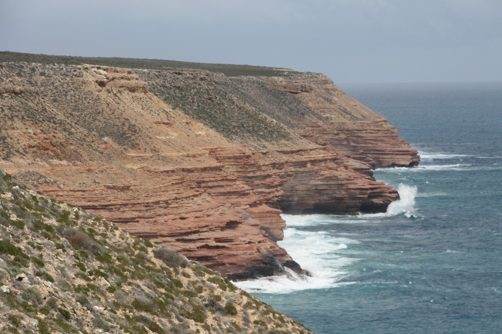
IMG_5426 (2500x1667)The track is perched right on the cliff top all the way. It was really windy, and I was grateful it was blowing us onto the coast and not off the cliff top. This section of cliffs is sandstone, with a high iron content giving it a red colour. Most of the rest of the coastal cliffs from Perth to Steep Point are all limestone.

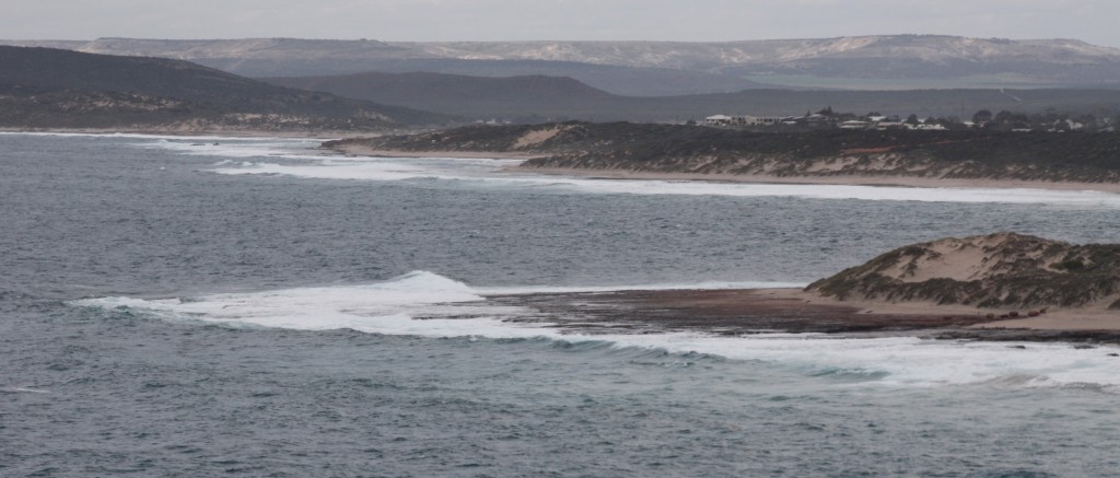
From Red Bluff lookout, you can see the aforementioned Jakes surf break – currently not going off.

Kalbarrii township at the Murchison Rivermouth in the background, Jakes in the foreground

Kalbarri township at the Murchison River mouth in the background, Jakes in the foreground

You can see how you can get such great shots of the surf – you can stand on the huge rock ledge right next to the break.

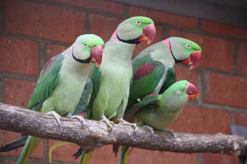
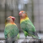
When there’s no surf, there’s family fun to be had! So on an overcast, windy old day, we went to the Rainbow Jungle Parrot Breeding Centre. They have over 50 varieties of parrots, lorikeets, budgies, rosellas – just about anything that’s brightly coloured.

IMG_5478 (2500x1667)

The place is a masterpiece. It was hand built over a period of 17 years by a dedicated couple who have now sold and retired. They breed the birds, including many of the rare and endangered species.

Here’s just a few of the great photos I took there.

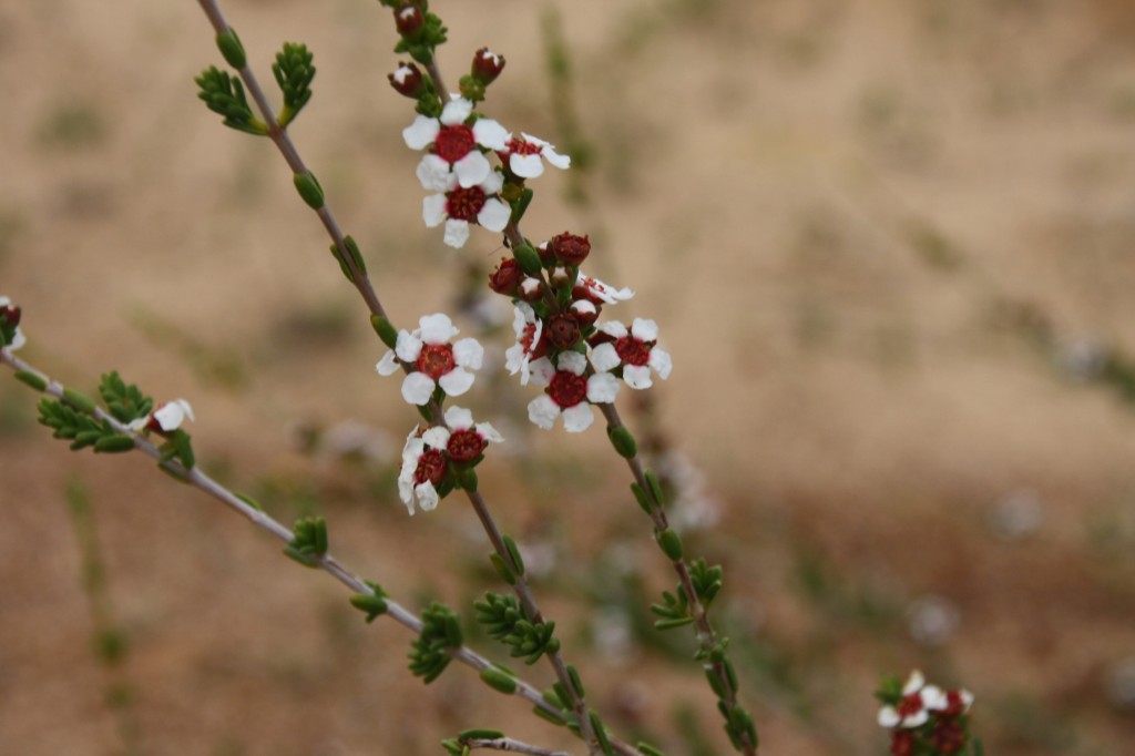
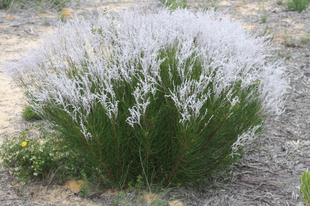
And today’s wildflowers come to you from the cliff track near Kalbarri.

Geraldton Wax

Geraldton Wax

Dense Smokebush

Dense Smokebush

PIC 5431 and 40

Eddie Would Go, September 2, 2013

IMG_5367 (2500x1667)

This is Jakes. What’s there to think about? Just get out there. The dolphins are stealing all the good waves.

IMG_5351 (2500x1082)

John disappeared with the boys (photographer duties – no surfing) and the car and my purse. So I had a quiet morning, just me and the Nomads. Here’s a few photos Ferg took of John surfing Jakes.

By 11am, the wind had changed, and we got John back.

Not deterred by the fact that there is a big yellow ‘Road Closed’ sign on the road to the National Park, John spent time scanning Google Earth for another way to get to the river and the gorges. We drove out to investigate, and despite some genuine determination to beat Parks at their own game, we were finally thwarted in our quest. With our tail between our legs, we went back in to town and fed the local fish the bait that we bought.

Trees Again, September 2, 2013

It was an uneventful drive back to the highway and then south down to the Kalbarri turnoff. Somewhere along the way, I looked up and suddenly there were trees around us. It’s been a long way looking at scrubby desert country. Then just 65km to the coastal town of Kalbarri. This road passes through the Kalbarri National Park where the Murchison River has carved some magnificent gorges, and the natural features are unique. Unfortunately, Parks staff have decided to close the road to all of this while they resurface and build new car parks. They have chosen the entire tourist season of June to October. Needless to say, the local tourism industry has suffered enormously, and I don’t think the rangers are on their Christmas card list. They are allowing access to just two commercial operators, but we are not inclined to pay $170 for the privilege of joining a tour. Kalbarri National Park will be added to our “next time” list.
The National Park isn’t the only good thing in Kalbarri though. There’s the famous Jakes surf break, just near town. We went to have a look, where the waves break right on the rocks.
IMG_5309 (2500x1309)
You have to keep your eyes open so you don’t get washed away.
IMG_5314 (2500x1667)
Just to confuse all the tourists, there’s another Red Bluff here. It’s redder than the one further north where we camped on Quobba Station. And the surf break here is actually at Jakes, where I took this photo from.
IMG_5307 (2500x1112)
The Murchison River flows out to the ocean here, and the cray boats negotiate a vicious set of waves via a channel. It’s a good fishing spot – or so the fantasy makers say. The boys came back empty handed again.
IMG_5318 (2500x1111)

Picturesque Peron Peninsula, September 1, 2013

While we were in this diverse World Heritage listed neck of the woods, we decided to venture out to Cape Peron. The peninsula was first visited by Francois Peron, whose name the National Park bears. He recorded the state of the environment at the time of his visit, and today, Project Eden aims to rid the peninsula of feral animals allowing the reintroduction of native species that once lived here such as the bilby, malleefowl, and bandicoots returning the region to the way it was before the Europeans arrived.
The whole peninsula west of the road to Monkey Mia was a pastoral lease which was returned to the government and declared a National Park in the early 1990s. We visited the old (not quite historic yet – but one day it will be) homestead. The wool sheds were really interesting. They aren’t that outdated really, and they look like the shearers just walked out last week.
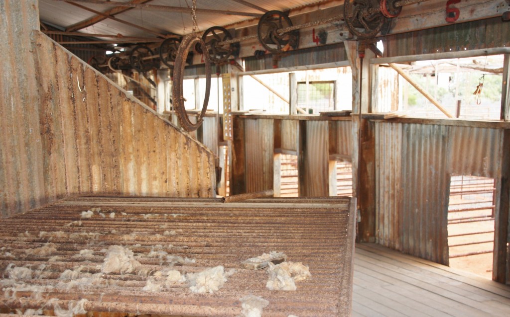
Peron HS Shearing Sheds

Peron HS Shearing Sheds


There’s also an artesian bore fed hot tub. The water was about 40 degrees! It would be just awful on a hot day, so lucky we were there on an overcast, cool day.
Once you leave the homestead, the track is deep soft sand. So it’s 4WD only and very low tyre pressure. We drove right to the end of the peninsula – Cape Peron. There’s a short walk to do called Wanamalu Trail from Skipjack Point to Cape Peron. The views are just sensational.
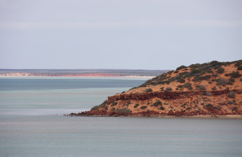
Cape Peron
The red, red sandstone cliffs against the blue water and white sand are stunning.
There are cliff top lookouts where you can see down over the water below and see the marine life of sharks, dolphins, dugongs, turtles and the thousands of trevally – called skipjack here, hence the name of the point.
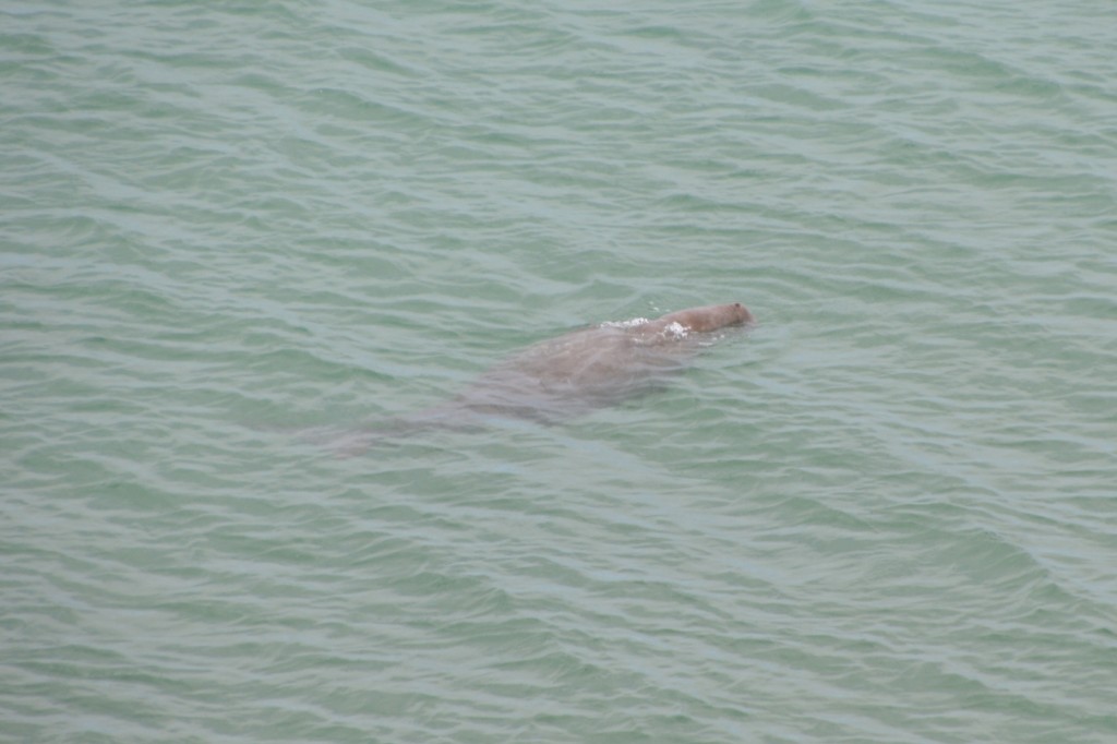
It's a dugong.

It’s a dugong.


From the cliff top walk, we could see down to these cormorants (hundreds of them) lined up along the water’s edge.
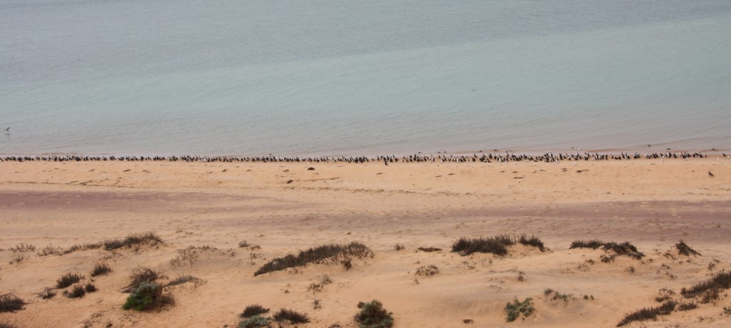
Cape Peron
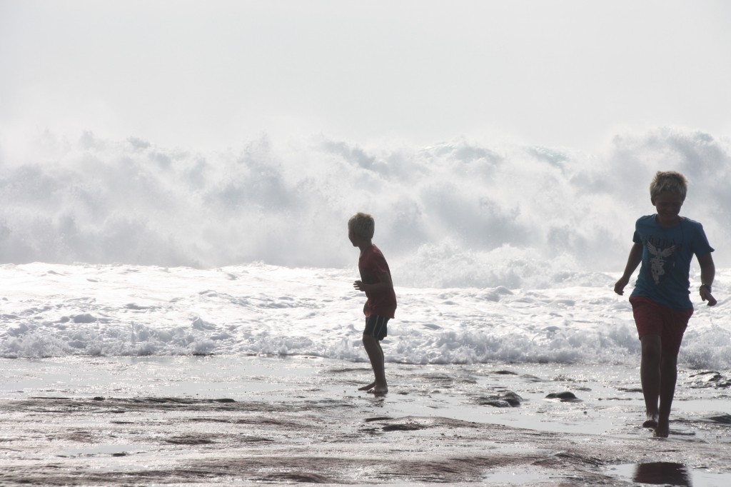
The boys found time to stooge around for the camera…….
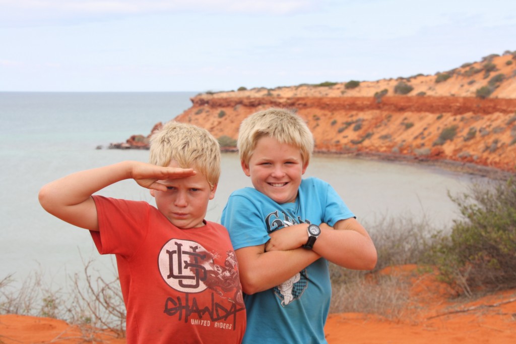
IMG_5261 (2500x1667)
We finally got to the turnaround point – Cape Peron – after longer than it should usually take to walk just 1.5km. The sand was soft and slow, and very unkind to a walker’s gait. We paused for a rest above the beach.
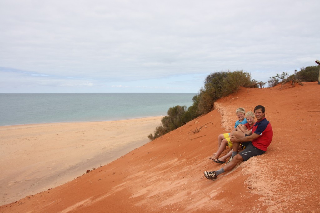
IMG_5270 (2500x1667)
John suggested we walk back via the beach (instead of back through the thick sand), and claimed he’d seen a path leading from the beach to an earlier lookout. So we descended to the shoreline and wandered back this way. It was here we met with all those cormorants. Actually they call them ‘darters’ in these parts. Same thing.
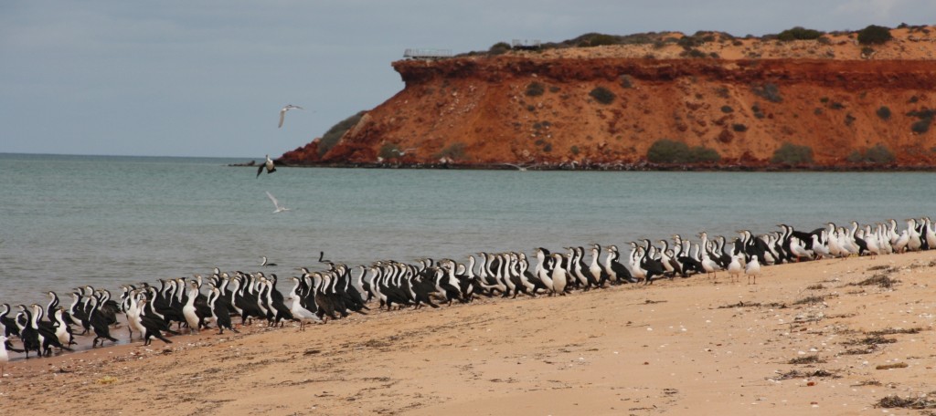
The cormorants up close.

The cormorants up close.


And yes, Fergus and Harry ran up to them and made them all fly away. Who wouldn’t?
We also saw dozens of crabs zipping across the sand. One didn’t zip fast enough to avoid Harry.
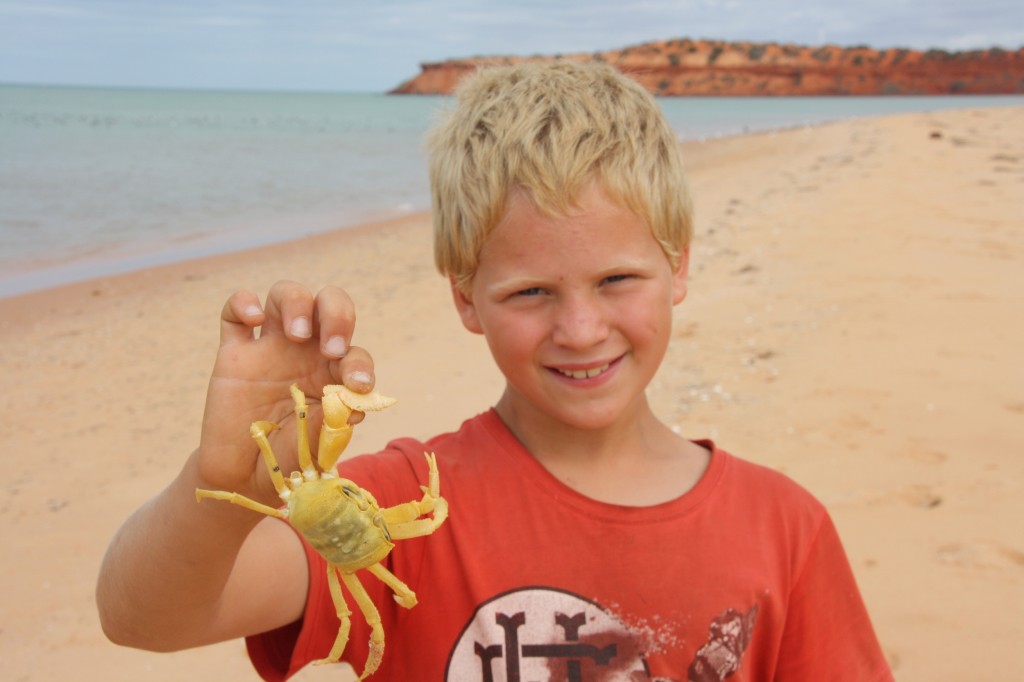
Cape Peron
We finally came to the area below the lookout. This is where John claimed there was a path to return to the top. There is no path here. He now says he saw a “navigable route”. This meant scrambling up an insanely steep slope of spinifex and sand (read: no hand holds) with no definable route except to progress up the not quite vertical side of the cliff, rather than down. Anyway, we made it. But we trust John just a little bit less.
We camped at one of the three areas available in the National Park, a spot called Gregories. It was a nice quite place. The boys took the kayak, dive gear and spear gun out to the edge of the reef. It turned out to be just an exercise in unpacking and packing the gear. Say no more. Chicken for dinner.
Wildflowers are everywhere here, and I snapped a heap more photos for my collection. When the sun had gone down, we could see the beacon flashing from Skipjack Point and hear the ocean smashing the shore. Another cool place to camp.