Fresh Eyre, October 2, 2013

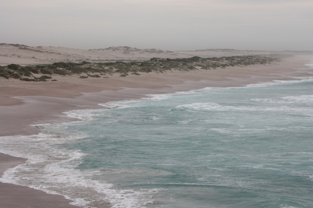
There was nothing left to do in Elliston with the wind blowing like this. We went south to Locks Well. There’s no well there, but we checked anyway. It’s a beach that was copping a blasting, down 283 stairs from the car park, and a chance to get out of the car.

Locks Well

The beach at Locks Well

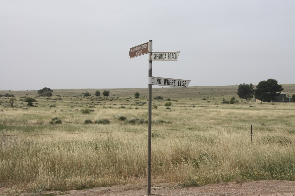
From the west coast to the east coast. Driving across the Eyre Peninsula was a beautiful drive, so long as you stayed in the car out of the wind. We took mainly back roads, and sometimes you can’t be sure exactly where you are.

IMG_6560 (2500x1667)

Just watch where you’re going in South Australia

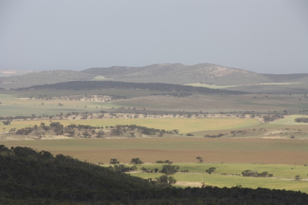
This area had 9% of the state’s farmers, but produces 40% of the state’s wheat harvest. I daresay they are rather wealthy farmers in these parts. The patchwork of paddocks from this lookout near Cleve was a great view.

Cleve Area

Eyre Peninsula countryside near Cleve

Some areas have the old hand built stone walls, many of which are still in good condition. There are virtually no trees in many places.

We stopped in at Arno Bay on the east side of the peninsula. They’ve done huge amounts of work on the foreshore here as well as building a great marina. This was done to assist the aquaculture industry here where they have a breeding program for Southern Bluefin tuna, Yellowtail Kingfish and Mulloway. The old part of town is still here too, with a row of tiny old shacks lining the beach. It’s rather a contrast to the new bits.

Tonight’s camp is a bushy. We’ve found a patch of dirt near Port Gibbons with a few trees to break the worst of the wind. Hoping tomorrow bring calm weather.

Making The Best Use Of The Wind, October 1, 2013

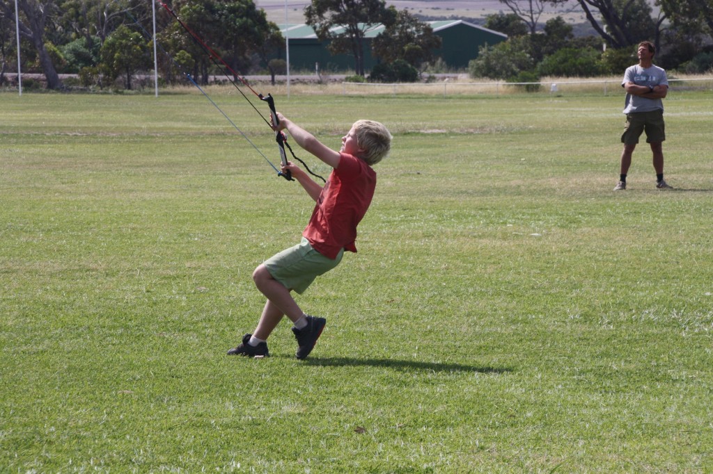
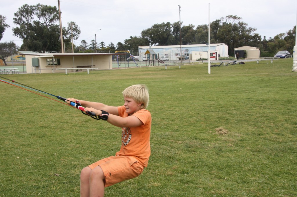
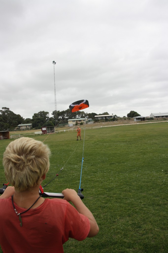
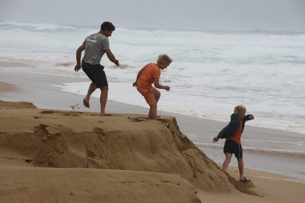
There’s always a silver lining, right? That’s what we found when living through another day of seriously strong wind in Elliston. In a continuing quest to use everything we brought (with the exception of the high lift jack and the jumper leads), out came the kite. This is no ordinary kite. It’s a kite surfing trainer kite. This is the sort of kite that will lift you off the ground and drop you, well, wherever you let go.

IMG_6540 (2500x1667)

Harry hanging on in a strong gust

IMG_6548 (2500x1667)

The concentration!

And you can just see the actual kite in this one….

IMG_6545 (1667x2500)


Risky Business, Every Day

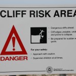
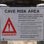
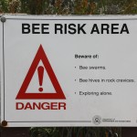
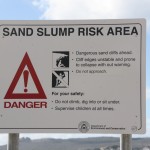
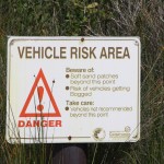
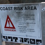
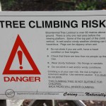
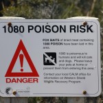
There’s a work ethic we affectionately dub “The CARE Factor” in all walks of life. You see it in the private sector, but more predominantly in the government run, insulated from the real world kind of workplace. It stands for ‘Cover Ass, Retain Employment’. Hence, the Department of Conservation’s range of Risk Warnings that we encountered throughout Western Australian.

This way, if you fall, trip, go near a tree, go on the beach, go near the coast, get near a bee, climb just about anything, take your vehicle on their land, explore a cave or even let your dog near the bush (this won’t happen to us), or even look at the land in their care – they won’t be to blame. And I bet they sleep well at night because of their signs. Soon enough, they’ll have us all staying at home. Then there might be a House Risk.

By the way, there were more – like “Gorge Risk”, “Beach Risk”, “Climbing Risk”. You get the idea.

Rockstacks, September 30, 2013

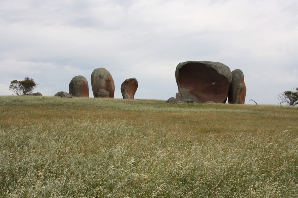
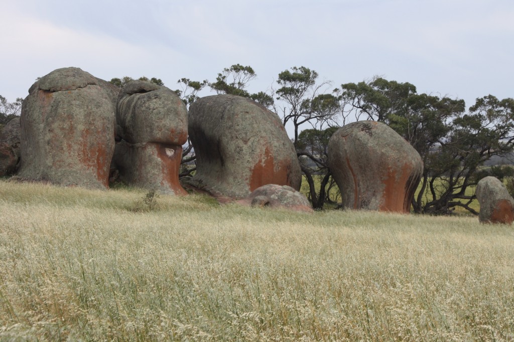
South Australia has its own version of the Devil’s Marbles. It’s called Murphy’s Haystacks. Right there in the middle of the fields of wheat are these weird pillars of granite. There’s a detailed geological explanation for them, but I’ll just leave it at weird pillars. Easier.

IMG_6509 (2500x1667)

Murphy’s Haystacks

It was now a howling northerly, which of course is a warm wind, and that means the flies will be there with you. I still wonder how they weren’t blown away. Anyway, these rocks were very cool.

IMG_6518 (2500x1667)

Murphy’s Haystacks, again

I took rather too many photos of them, and this is just a sample. But you have to see them, seeing as  they need to shared.

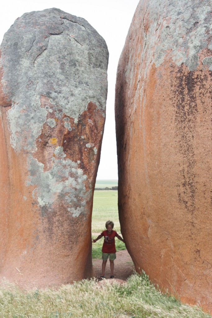
IMG_6521 (1667x2500)

Harry in a wind tunnel

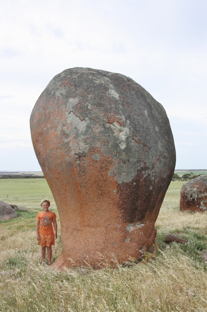
Where there’s a photo of Harry, there’s a photo of Ferg.

IMG_6516 (1667x2500)

Fergus with a big door knob

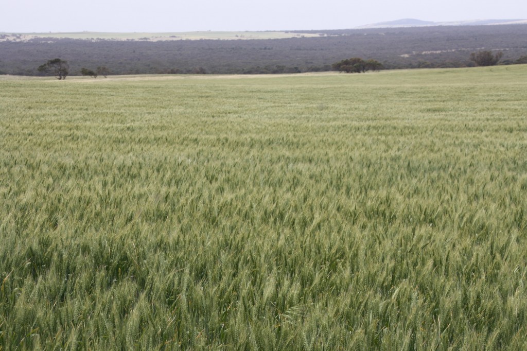
And seeing as I was amongst the rolling fields of wheat, with itchy eyes, in a howling wind, I thought I’d make the most of the photo opportunity.

IMG_6507 (2500x1667)

Most of this region is cropping country, with a few places running sheep. The wheat fields go right to the coast. It doesn’t seem right to see wheat so close to the ocean.

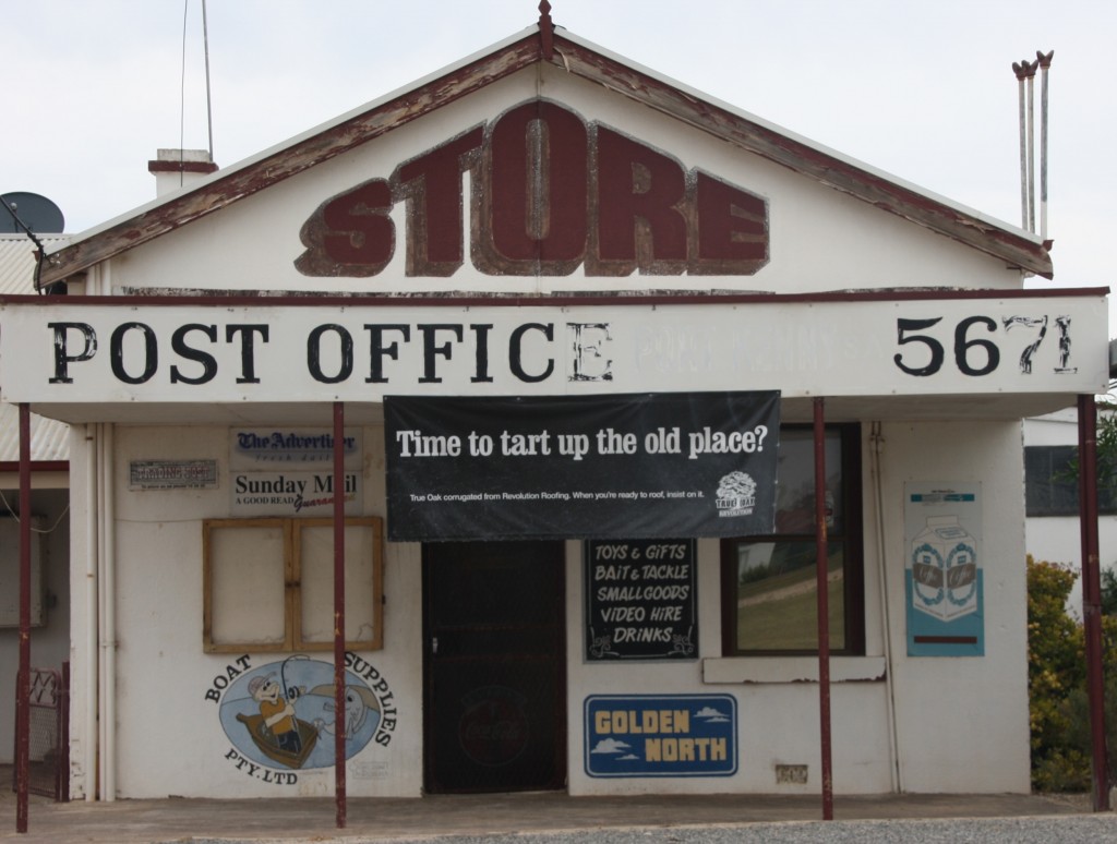
The flies came along to our next stop for lunch at Port Kenny. Now this is not a happening place. Feel free to skip Port Kenny if you come this way, unless they tart the whole town up!

IMG_6525 (2500x1890)

This covers everything in Port Kenny

We entertained the idea of a bush camp near Venus Bay (population 20) but with the wind still blowing, we settled for Elliston, a little further south.

On the way we went via every beach, headland, lookout, coast drive and cliff top. We went to the Tahlia Caves and found this great windswept coast.

IMG_6529 (2500x1667)

The windswept Eyre Peninsula

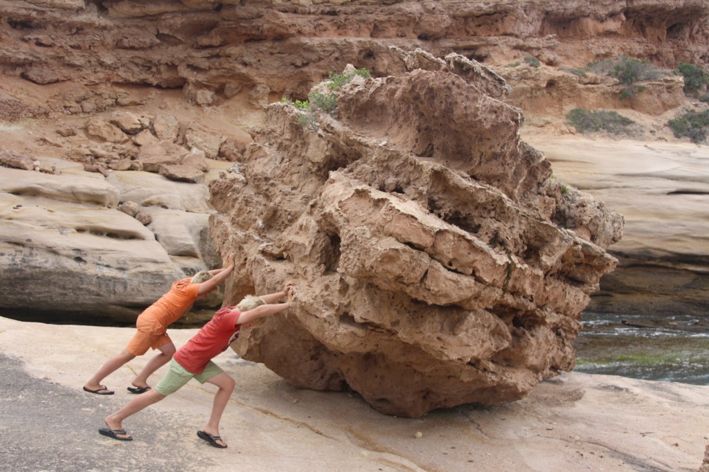
Nearby, there was this big rock that the boys rolled over the edge into the sea.

IMG_6537 (2500x1667)

Glad I’ve been feeding them well.