Quirky Moments

Travelling in the bush means you meet many like-minded people. And then there’s the peculiar ones. We met such a fellow the other night camped by the North Kennedy River at Saltwater Creek in the Lakefield National Park. It was a bush camp and no one was around – or so we thought. Out of the bush come a late model converted Holden Colorado (very clean) driven by a character who stopped to say G’day. By the time he left 45 minutes later we knew all about everything he owned. Although his trailer was unhitched back at his camp further down the river, he showed us photos. Great. Even better, he showed us his fishing photos. Then we got to hear all about the boat. Horsepower, stuff like that. He told us how much he’d increased his GVM (gross vehicle mass) by doing the conversion to 6 wheels. He knew the Torque on his engine, how many kilowatts of power he has. He recited his fuel capacity, water capacity, solar panel set up and maximum amp hours he achieves, ground clearance, towing capacity and stuff I can’t even remember. Did I mention the Croc safety briefing? We got a good 10 minutes on winch maintenance then he gave us the full run down on why we should boycott Big4 caravan parks. He had the latest dash mounted GPS and a rear reversing camera so big he could see better out the back than the front. A man and his castle. He and the wife are doing the Big Lap. Planning to take 5-10 years. They’ve spent 18 months just getting from Sunshine Coast (or Sunny Coast as he calls it) to here.

It was an entertaining interlude.


Oasis in The Bush. June 26, 2015


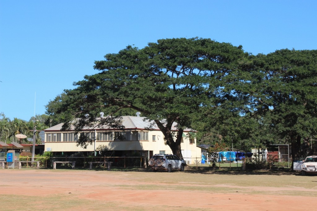
Musgrave is on the map as though a town would be there, but it’s just a big old house. It was once a telegraph station. When technology left the overland telegraph behind, it became a homestead for a station. It now operates as a welcome stop on the long haul north or south on the uninspiringly named Peninsular Development Road (PDR).

Musgrave

Musgrave

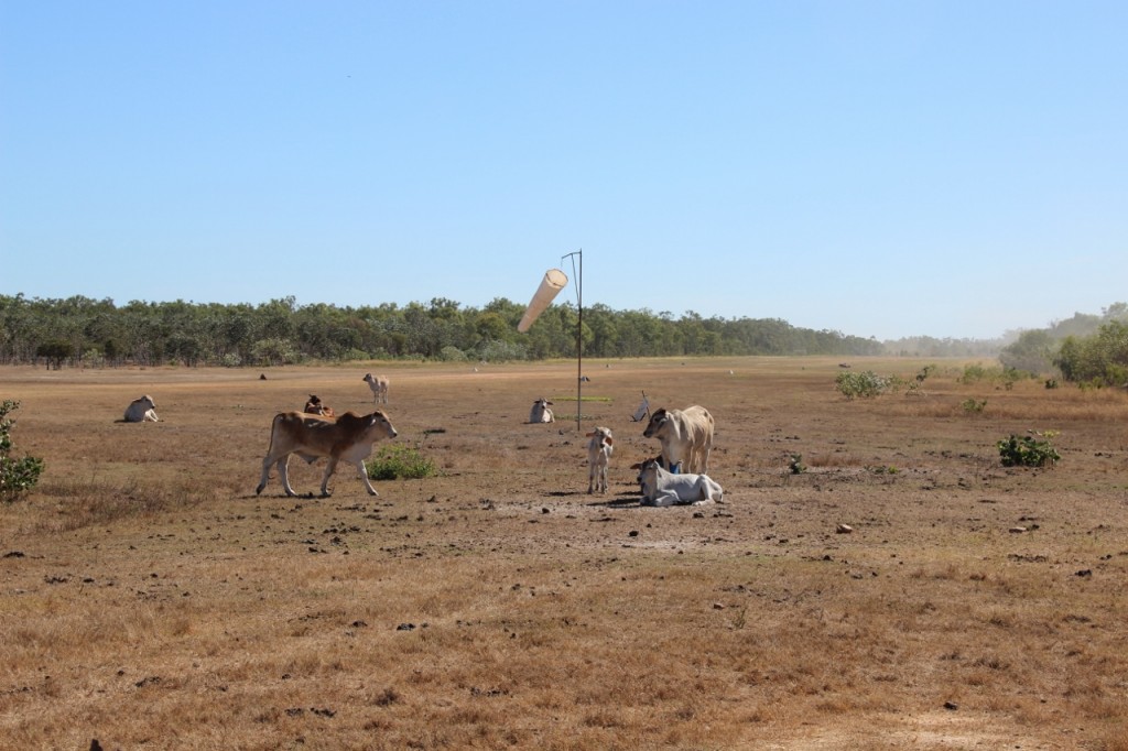
There’s parking space the size of the MCG in front of the building and I don’t doubt that it’s sometimes full. The cool green grass under the shade of the huge tree is pretty appealing. They have a bar, serve food, offer public toilets and showers, there’s a (busy) mechanic, a shop and an airstrip. You just have to share it with the cattle.

Musgrave Airstrip

Musgrave Airstrip


On A Clear Day, June 26, 2015

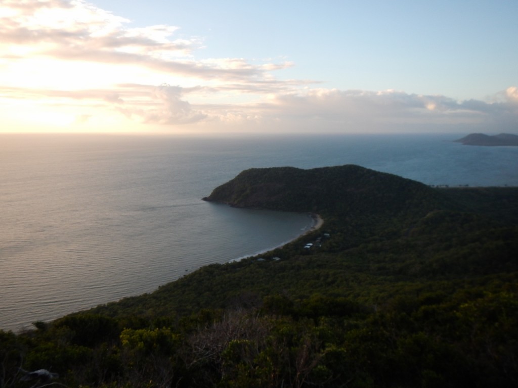
An early start for the boys. They rode the bikes out the back of town to the start of the walk to the top of Mount Cook. It’s 431m high on a six kilometre hike. Luckily the weather had cleared a bit and they could see Quarantine Bay and further.

From Mount Cook, looking east

From Mount Cook, looking east

They were back for breakfast before we headed out of town. We took the 4WD road rather than the bitumen. You shouldn’t be surprised. It’s called Battle Camp Road and takes you through to Musgrave on the main road – and I use the term “main” loosely.

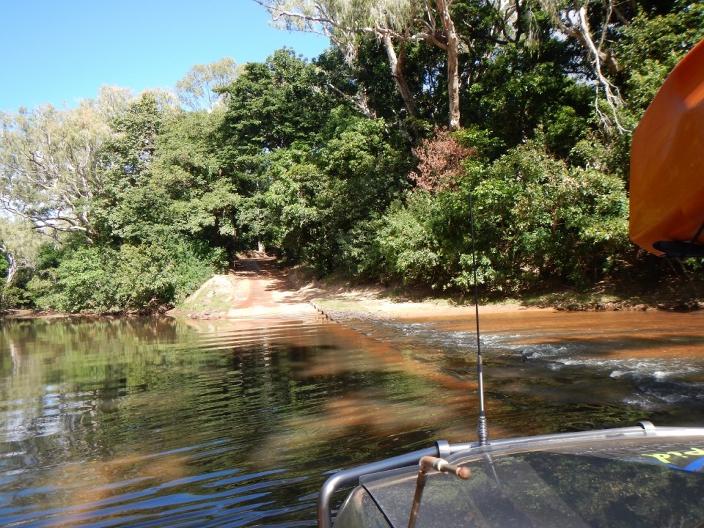
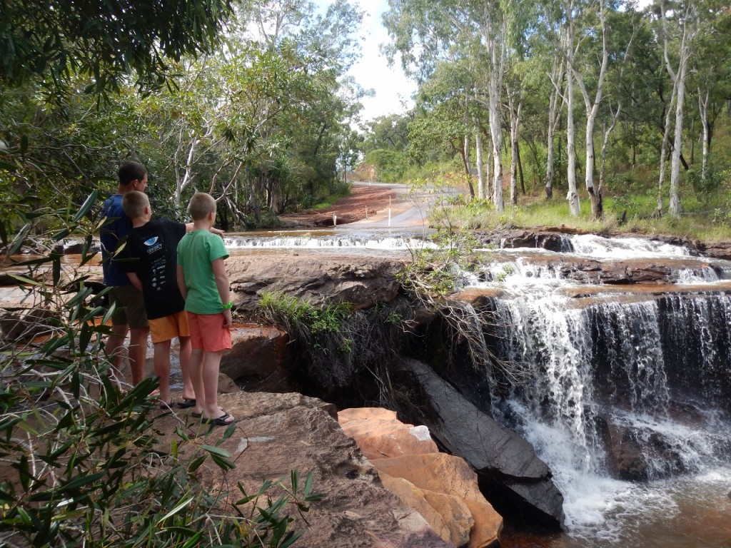
There were heaps of river crossings, some with water and some without.DSCN6878 (1280x960)

We stopped at Isabella Falls where a rock shelf next to the road make a cool waterfall.

Isabella Falls

Isabella Falls

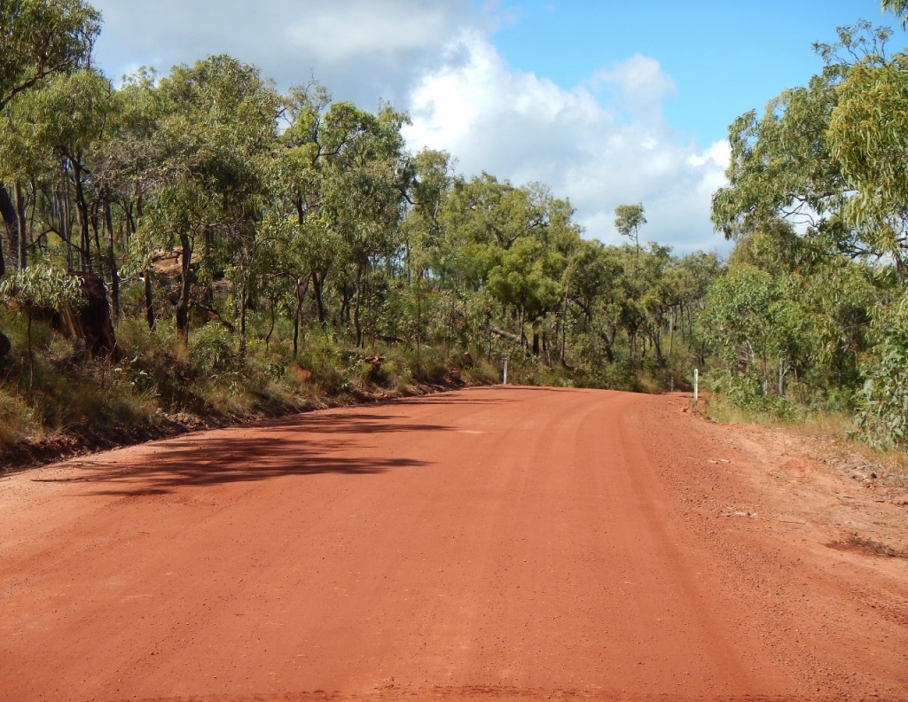
All the vehicles we passed heading south on the Bloomfield Track were covered in red dirt. It’s the differential diagnosis for those that have been to the Tip and those that are on their way. And here was our first dose of the red world up here.

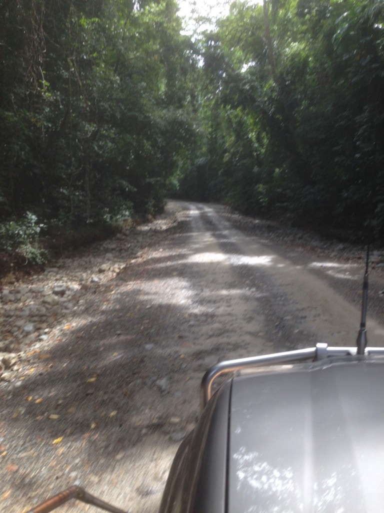
Battle Camp Track

Battle Camp Track

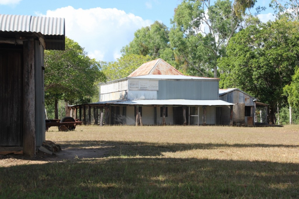
There’s a few abandoned homesteads along the way. It was a tough life out here for the early Europeans and many failed and left.

Old Laura Station Homestead

Old Laura Station Homestead

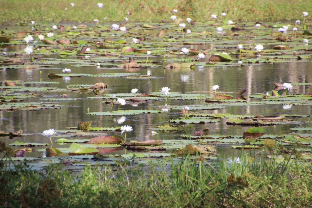
We passed many of these waterholes (below) where the lilies were in bloom and white ibis flew around. Just like a movie!

Lilies everywhere

Lilies everywhere


Who Got Here First? June 24, 2015

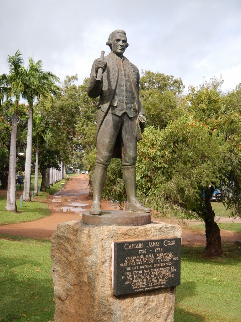
Captain Cook Memorial

Captain Cook Memorial

First to come across Australia that is. Not counting the aborigines who were already here. Some think it was the Chinese. But we’re all pretty sure it was Dutchman William Janszoon on the Dufyjen in 1606. We learnt a lot about the Dutch explorers on our last trip along the coast of Western Australia. But Captain Cook really nailed it in 1770 right here in Cooktown. And what a great place to run aground! It’s a lovely town these days.

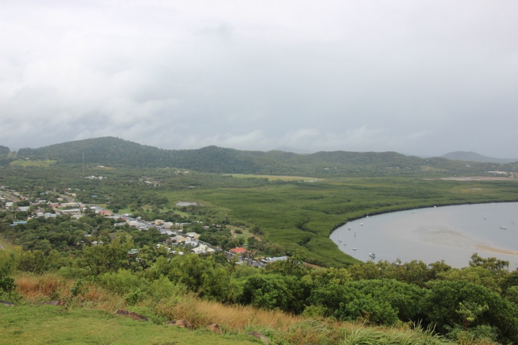
View of Cooktown and  Endeavour River from Grassy Hill

View of Cooktown and Endeavour River from Grassy Hill

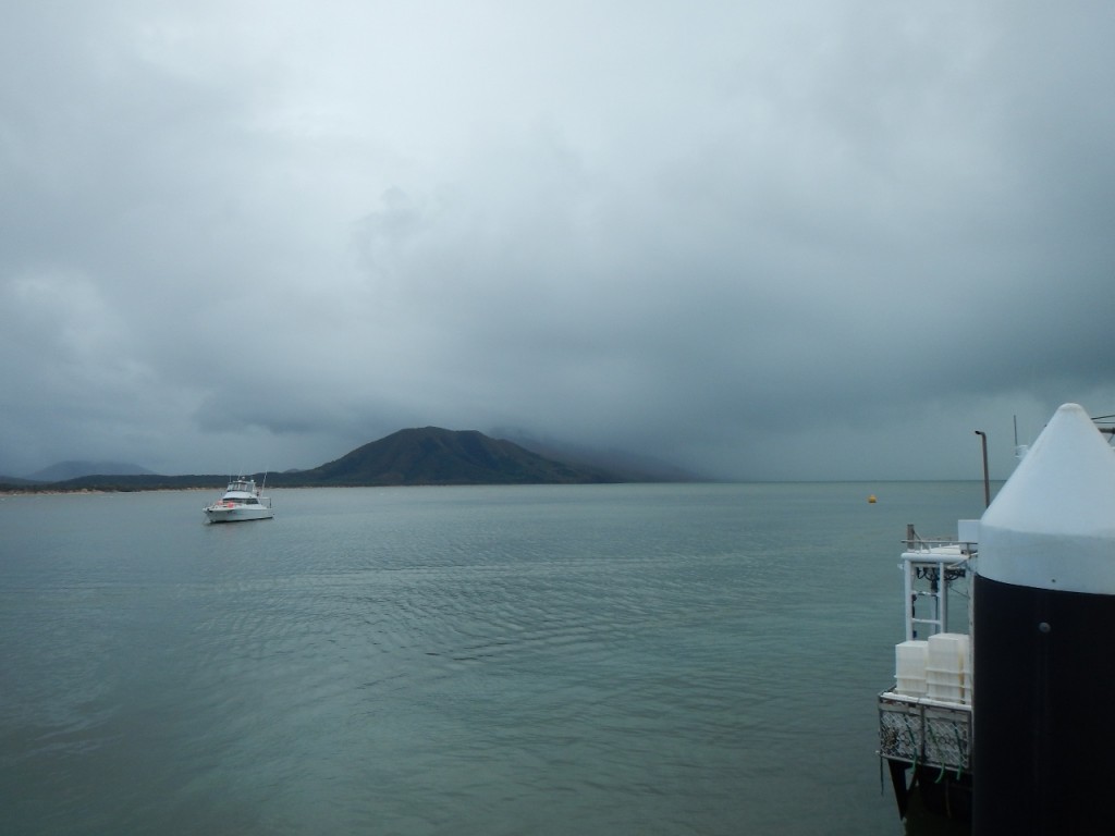
But you can see it’s another overcast and rainy day. Here’s another view from the harbour……

Endeavour River

Endeavour River

Definitely took my raincoat today. We did a full “towny” which included the Cooktown Botanic Gardens. I thought this might be a neat little community project about the size of a suburban block. But the gardens are an extensive range of the most amazing collection of plants, and trees, many being very mature. The gardens were started in the 1800s in an attempt to reduce the expanding market gardens of the chinese who were here in large numbers with thousands of others to find fortune in the Palmer Goldfields. How times change. I think a little more Bok Choy in our diets would be great!

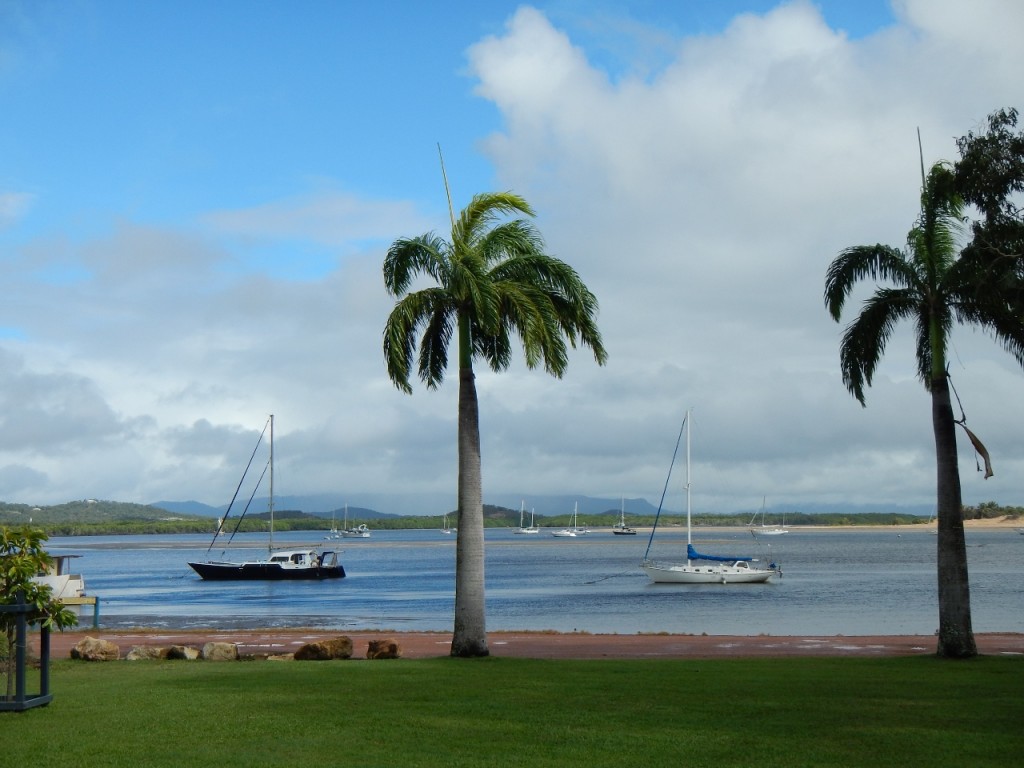
Endeavour River

Endeavour River

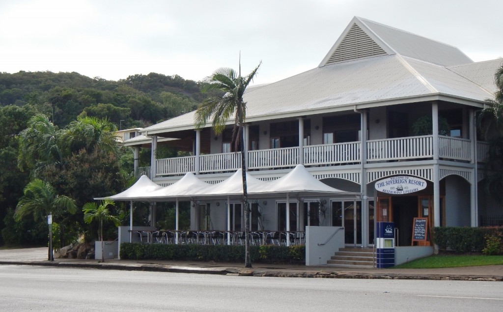
I took the pic (above) before the rain set in actually. And the one below of the  Sovereign Resort. Maybe one day I could stay somewhere nice like that!!

Hotel Sovereign

Sovereign Resort

After it rained a whole lot more and the clouds had cleared, we went and did something we never thought we’d do on this trip. We played golf. Yep. It’s a nice nine holes, quite protected from the wind. But then the wind dropped off about 5pm and the Mozzie Massacre was on again. I bailed on the seventh hole. My score was high enough.

Then overnight, Cooktown gave us its best dose of the “bullets”. This is the local speak for bursts of wind that come rushing through town like mini cyclones. Then they disappear and all goes quiet. Then it starts again. This goes on all night. I woke up exhausted for all the wrong reasons.

Beautiful Bloomfield and a Bunfight. June 23, 2015

Remember the fuss and bother about building a road (the Bloomfield Track) through the Daintree rainforest back in the 80s? It was actually a plan to build a road that lasts, rather than the track that had been there since the 40s but was washed away many times, following the aborigines foot trail through to the northern end near Cooktown. There are some that frown upon the tree huggers of the world, but without them we would have lost many of our old growth forests such as areas like the Franklin River. But the Bloomfield Track was built anyway.IMG_2036 Bloomfield Track

It is a beautiful way to travel through the rainforest and as there are no places to camp (or barely even stop) along the way on the 30km track, there is little opportunity to damage the forest. This is a stunning journey. The surface is good and the only reason you need 4WD is due to the steep hills. And they are steep. As we approach the first hill of any note, there is already a queue of about six vehicles waiting for a car and trailer that jack knifed on the ascent to be sorted out. This is a good time to have lunch! It took only about half an hour for at least 15 blokes to give their (15 different) opinions on how to right the trailer now sitting on its side half way up a hill with a 1 in 3 gradient. So much testosterone.

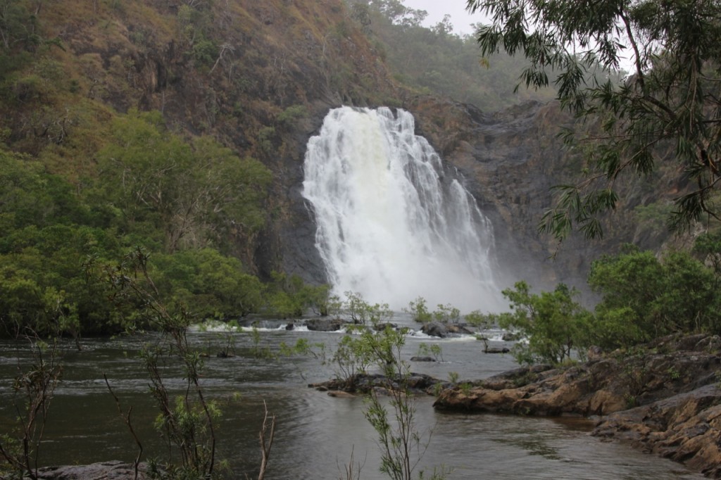
Towards the end of the track we stopped at Bloomfield Falls. It was a pretty impressive display even though it’s the (wet) dry season. I’d love to see it in March!

Bloomfield Falls

Bloomfield Falls

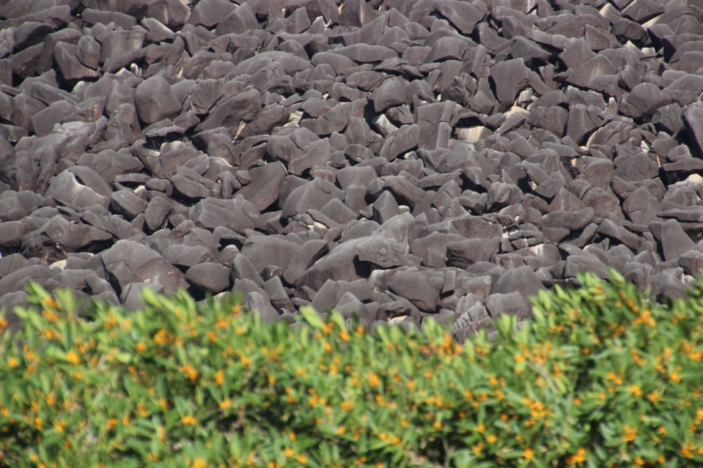
And before you know it, the rainforest is gone. We emerge on the northern end to blue sky (short lived) and stop at Black Mountain. This is an amazing sight. It looks like an enormous truck had tipped out an enormous amount of black rocks. But they are HUGE rocks. PS – they are actually brown, but they look black due to a lichen that grows on them.

Black Mountain

Black Mountain