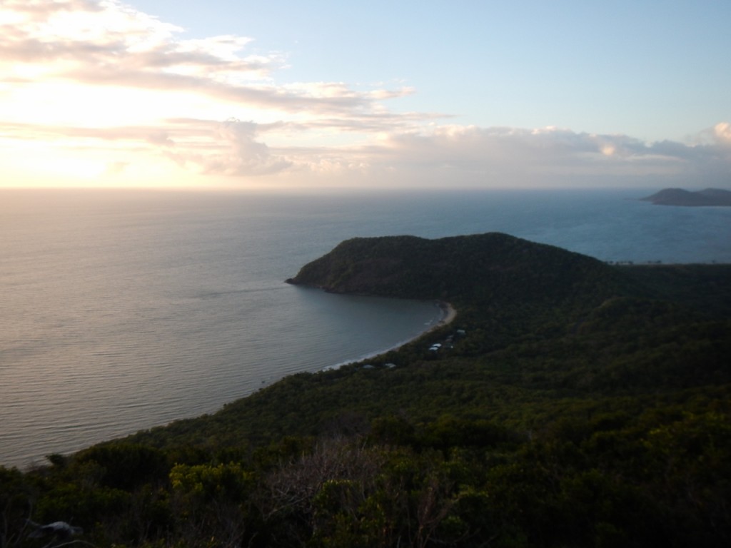
An early start for the boys. They rode the bikes out the back of town to the start of the walk to the top of Mount Cook. It’s 431m high on a six kilometre hike. Luckily the weather had cleared a bit and they could see Quarantine Bay and further.
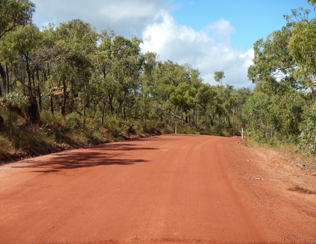
They were back for breakfast before we headed out of town. We took the 4WD road rather than the bitumen. You shouldn’t be surprised. It’s called Battle Camp Road and takes you through to Musgrave on the main road – and I use the term “main” loosely.
There were heaps of river crossings, some with water and some without.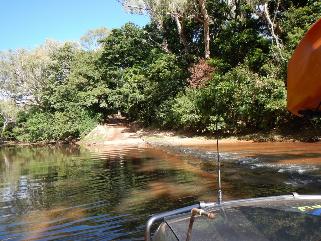
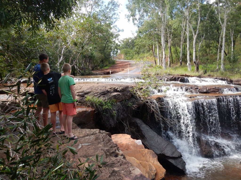
We stopped at Isabella Falls where a rock shelf next to the road make a cool waterfall.
All the vehicles we passed heading south on the Bloomfield Track were covered in red dirt. It’s the differential diagnosis for those that have been to the Tip and those that are on their way. And here was our first dose of the red world up here.
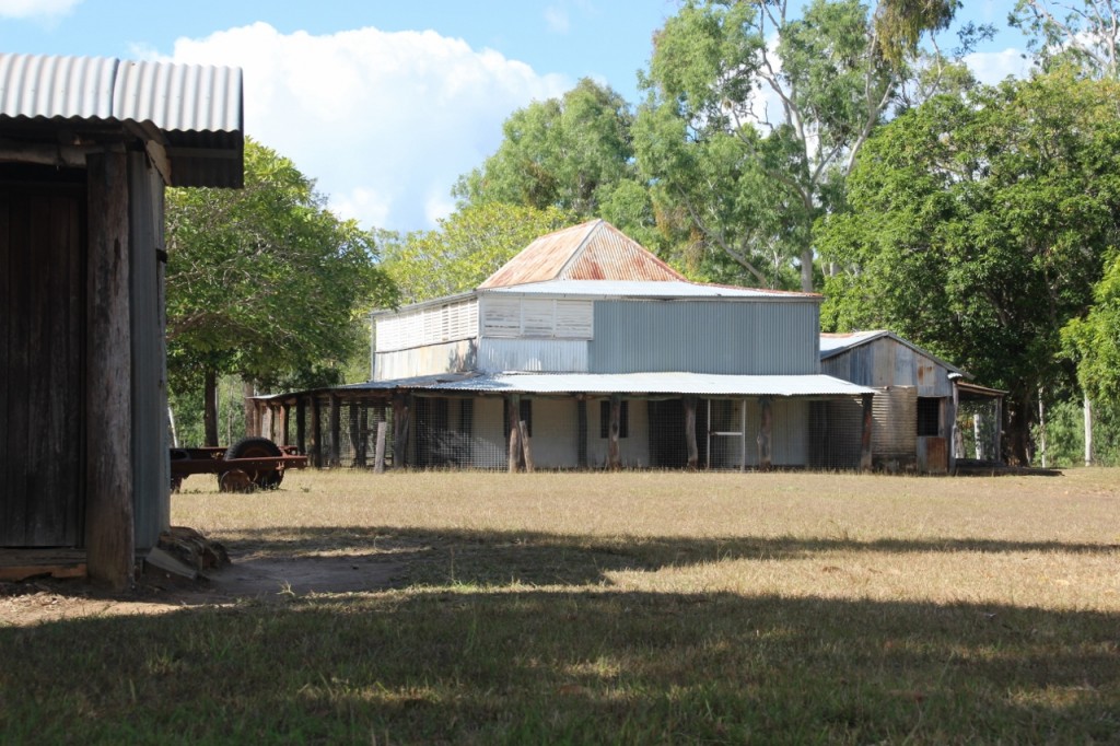
There’s a few abandoned homesteads along the way. It was a tough life out here for the early Europeans and many failed and left.
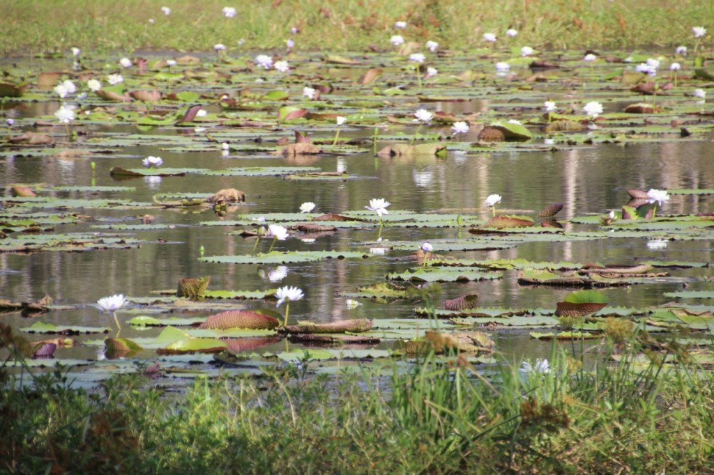
We passed many of these waterholes (below) where the lilies were in bloom and white ibis flew around. Just like a movie!

