It’s time to leave Lucky Bay, fuel up and hit the road for the Nullabor. The weather has turned nasty, yet again, so it’s not hard to leave these stunning beaches today.
We filled up everything that was empty back in Esperance, and from there, there are two ways to get to Balladonia on the Eyre Highway: the bitumen via Norseman (about 400km) or the dirt to Balladonia which is a much shorter route, being one side of the triangle (about 260km). The short one is not passable after rain, so they say.
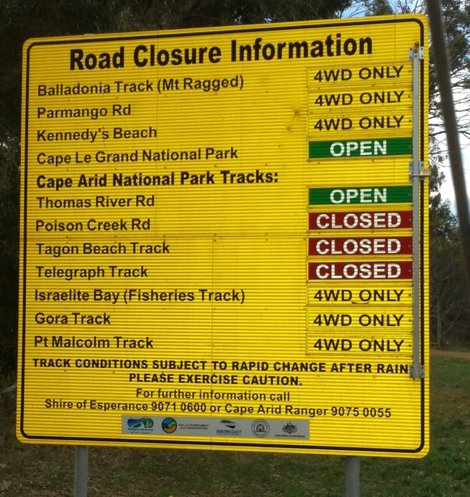
Now I heard on the radio that this has been the wettest September in 82 years. Yippee. Consequently, many of the unsealed roads are closed.
We decided to go on the Parmango Road as we qualified for the 4WD status, and as we left town we waved to some folk we had camped near at Lucky Bay. They were doing the ‘long’ route on the bitumen. Remember this.
East of Esperance is timber growing country. It was one plantation after the other for kilometres. It was strange to see tall trees growing so close to the coast where the native scrub is low and wind blasted.
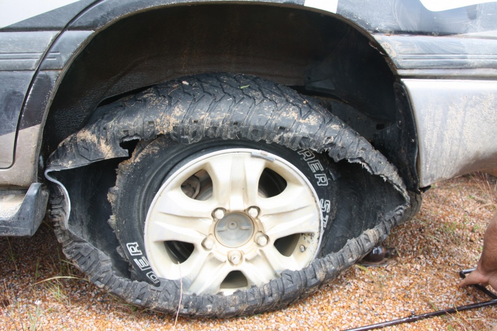
It was somewhere near here that the Landcruiser had its first malfunction of the trip.
Not really a flat, more of a complete blow out. Funny thing was that this tyre has only been on since Perth when John rotated the tyres. It wasn’t the smoothest change. The car slipped off the jack as the wheel was going on, and bent the brake disk guard. Anyway, John bashed that back into shape and finished the job, and off we went.
About 60km from town (past the sign about which roads are closed) we turned onto the Parmango Road, and promptly found a “Road Closed” sign. Urghh. After calls to several sources of authority and a visit to the nearby pub (always the best authority), we decided to give it a go. The lady at the pub said some people had got through this morning. That was a good sign.
About another 60km down the track, which was an excellent road, we met some Slovakian tourists (it’s a melting pot out here) coming the other way who had just done a U-turn, said the road ahead was impassable due to a big patch of mud 5km further on from where we were. They said they were sliding in the mud before even entering the water. We took one look at their tyres and told them to follow us and we’d go through together. It turned out to be a biggish bog hole, but with an easy route on the high left – just making sure you don’t slip into the mire. We all got through, easy as.
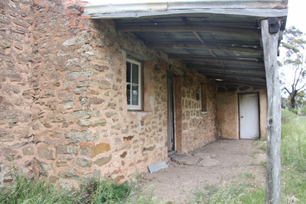
The Slovakian tourists continued on behind us till we stopped to look at the historic ruins of Deralinya Homestead.
They had no interest, pointing out that their grandfather’s house back home was over 400 years old. Puts it all in perspective really. At least they find the landscape interesting!
The landscape has now changed from tree plantations to fields of wheat as far as the eye can see. And it’s a bumper crop! Looks thick and healthy. It really shows you why this region is called the wheat belt. An awesome sight.
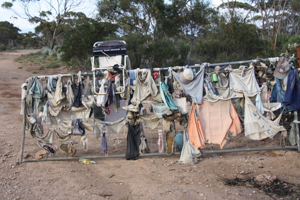
There’s not a lot else to capture your interest on the Balladonia Road, so I’ll show you this farm gate that travellers have adorned with, well, underwear. You never know what you’ll find out here.
We made it to the highway, watching the Nomads driving across the bitumen road as we approached the T intersection. And guess who we saw driving east? The same folk we waved to this morning as they began their two sides of the triangle. Hilarious. But I think we had more fun.
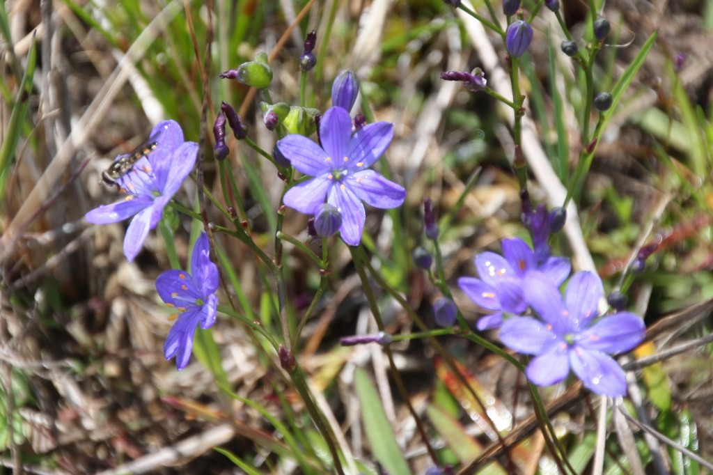
And lastly, today’s wildflower. I saw this one by the side of the road while we changed the tyre.

