Lay Day at Cactus, September 27, 2013

John was up early as usual and grabbed a few waves at first light. It wasn’t great, but he had it to himself till the grumpy locals turned up. And then the wind turned.

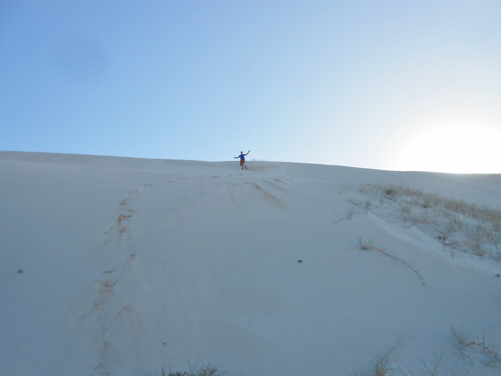
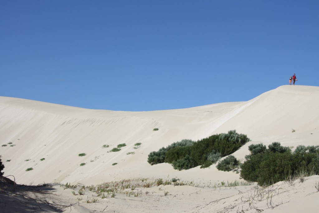
We spent the day around camp, but added in some sand dune action….

DSCN4545 (2500x1875)

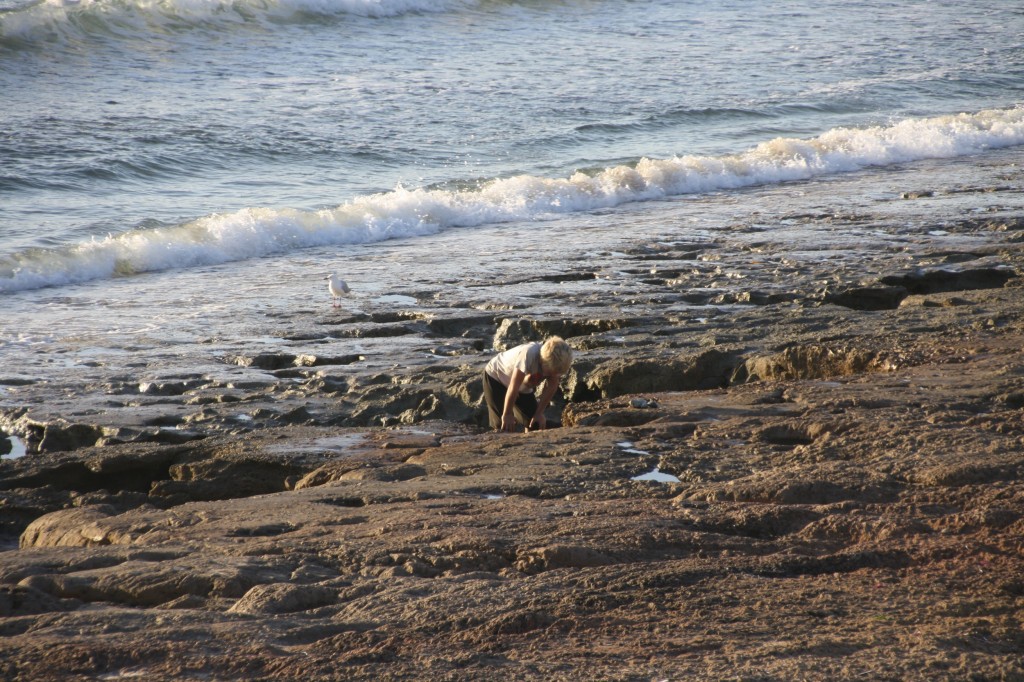
And some rock collecting……

IMG_6329 (2500x1667)

There was much surf checking, some sun baking, and a walk out to the point. Fergus and John went in for a desperado surf at the end of the day, and that was it till sundowners.

Cactus Calling, September 26, 2013

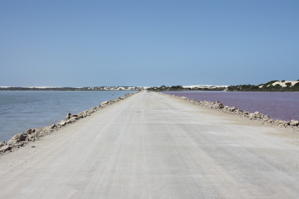
There’s a place on the map called Point Sinclair. It’s south of Penong, off the Long Straight Road. About 20km. But if you have been touched by the surfers of the world, or you actually live in their world (that’s me), then you know it as Cactus. It’s a bunch of waves that are yet another Holy Grail. The road here passes more huge sand dunes. You could be forgiven for thinking you were in Saudi Arabia. There’s a causeway across a lake – one side is pink with algae and the other isn’t! Belligerently, it’s called the Blue Lake.

Road to Cactus

The Blue (and pink) Lake

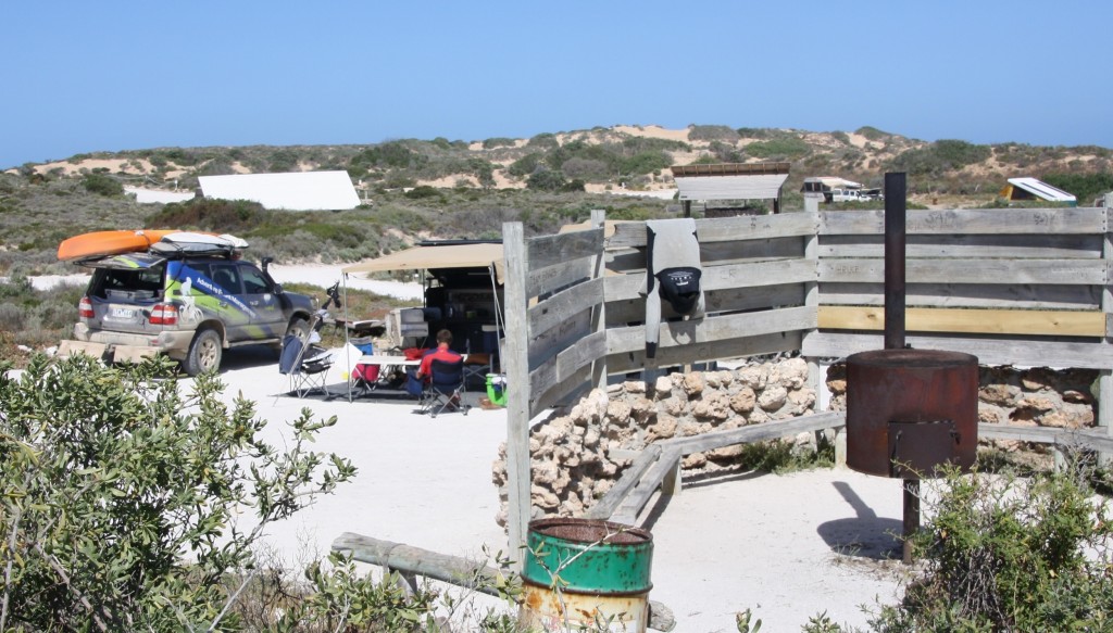
Back in the 70’s, soon after the waves here were discovered, surfers would flock here for weeks at a time. The area along the coast and the dunes became feral, with no toilet facilities, and no tracks to contain the campers. The place was in danger of being loved to death. In 1986 Ron Gates bought the place – 550 Ha of the whole cape – and has created a clean and well maintained place to camp, which will preserve the dunes and the fragile eco system. He has hand built numerous toilet shelters and wind shelters out of local stones, made roads and fenced off sensitive areas. He cleans the toilets, delivers fire wood, and empties the bins himself. He likes a chat too. In just 45 minutes we learnt about his fight to create a marine sanctuary reserve, a recent visit to Cactus by Kelly Slater, what he thinks of the mayor in Ceduna, what is was like there in the 70s, and his divorce. And there was more.

Cactus

Our camp at Cactus, with one of Ron’s hand built wind shelters and fire places.

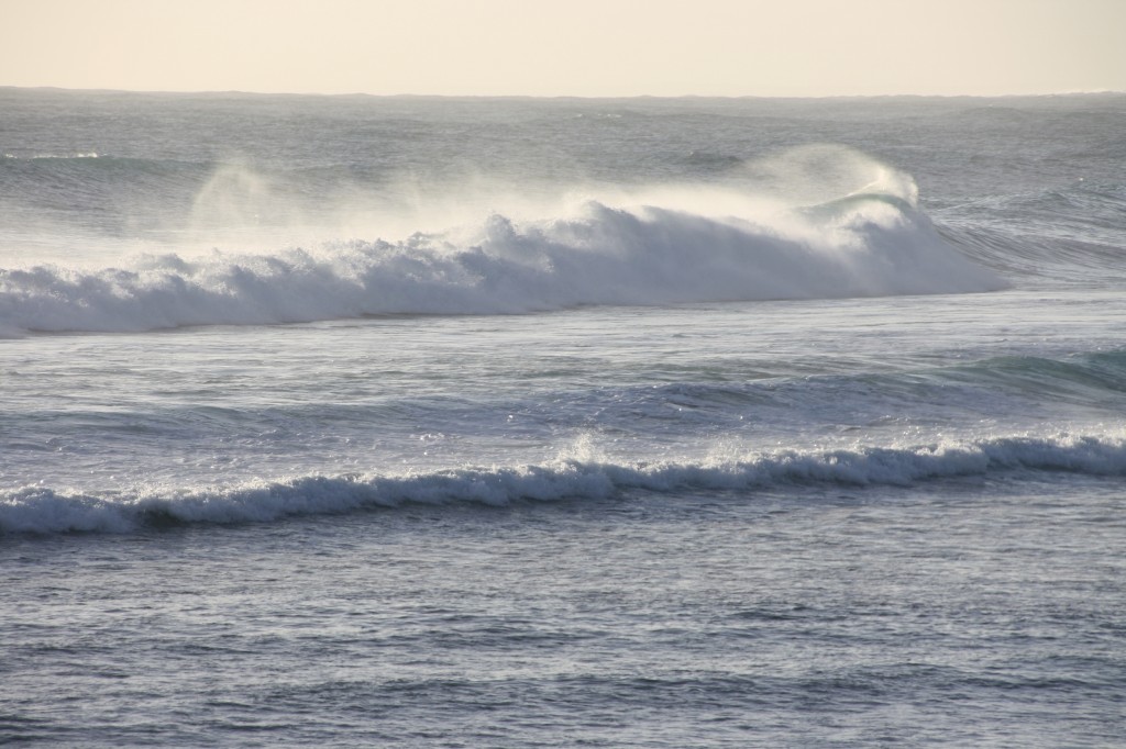
But back to the waves. The wind was not cooperating today, but the swell was there. Maybe tomorrow.

IMG_6326 (2500x1667)

An uncooperative Cactus.

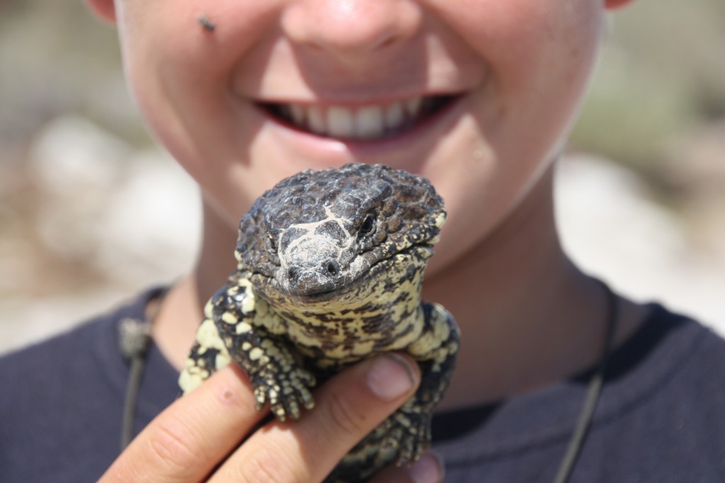
We did some relaxing, if you can believe that. Fergus and Harry spent ages scouring the camping area for lizards and skinks. They found this stumpy tailed lizard and brought him back to camp to show us.

IMG_6304 (2500x1667)

Right on the point is Port Le Hunte. It’s a beautiful protected bay with a netted swimming enclosure. This was built after a young boy was taken by a white pointer shark while swimming here. Sharks had never been seen here before that.

IMG_6339 (2500x1667)

In fact, the sharks here have a bad reputation. A surfer lost his life here to a shark in 2000 at Cactus beach. The numbers of surfers visiting dropped off immediately, and is now only back to half of what the visitor numbers were before the attack.

The bore water shower is a cold one, but it was just what we needed to wash away the dirt. We finished the day just like the nomads, with a sundowner or two.

IMG_6332 (2500x1667)


Calm After The Storm, September 26, 2013

Bang! Just like that, the wind was gone. We woke up to a perfect, calm day, so we took a look around Fowlers Bay. This doesn’t take long.

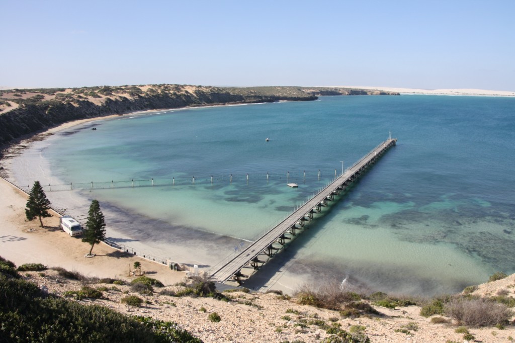
It’s quite historic, having once been an important port when transport to this region was mainly by sea. The local community has done a huge amount of work to produce a range of information boards along the foreshore with the story of the town.

Fowlers Bay

Fowlers Bay old Post Office, now a private residence

They have a long jetty, and the locals were busy sweeping up after the wind storm the night before. The town sits at the foot of advancing sand dunes, and I fear for its future. The main street has already moved once after being consumed by the sand.

Fowlers Bay

John and Ferg atop the dune next to town

At least the boys had a chance to climb a dune – one of their favourite activities.

More Whales! September 25, 2013

IMG_6290 (2500x1667)

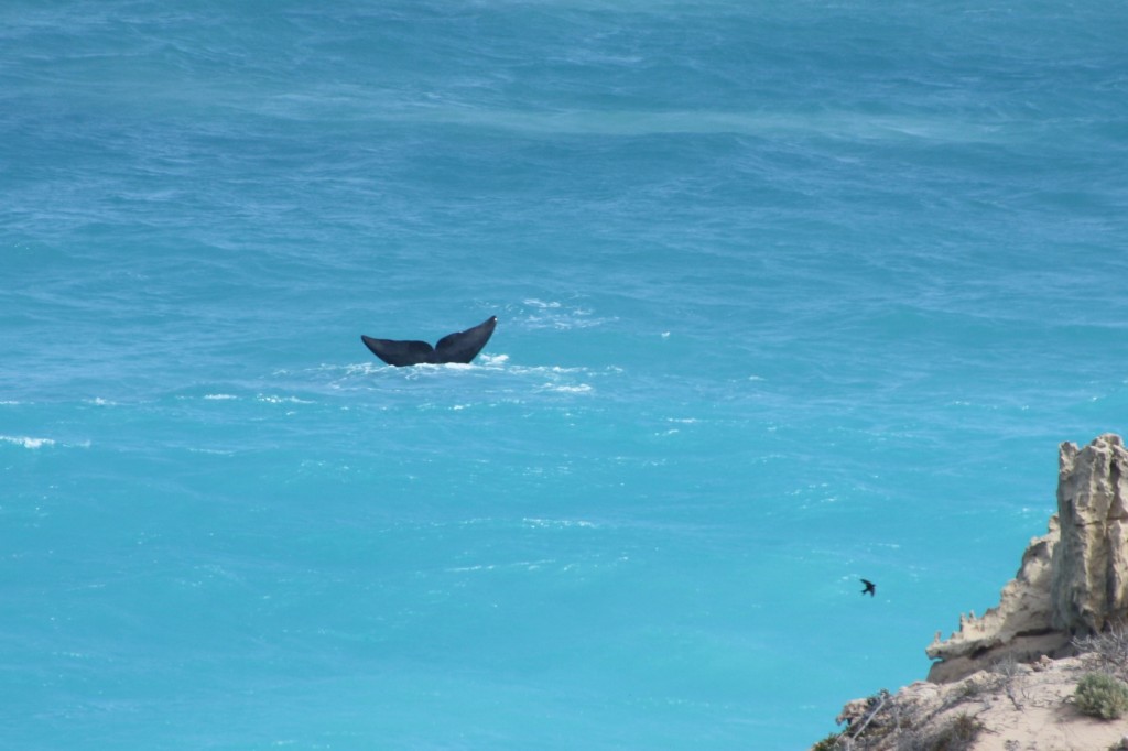
A Southern Right Whale waves to us

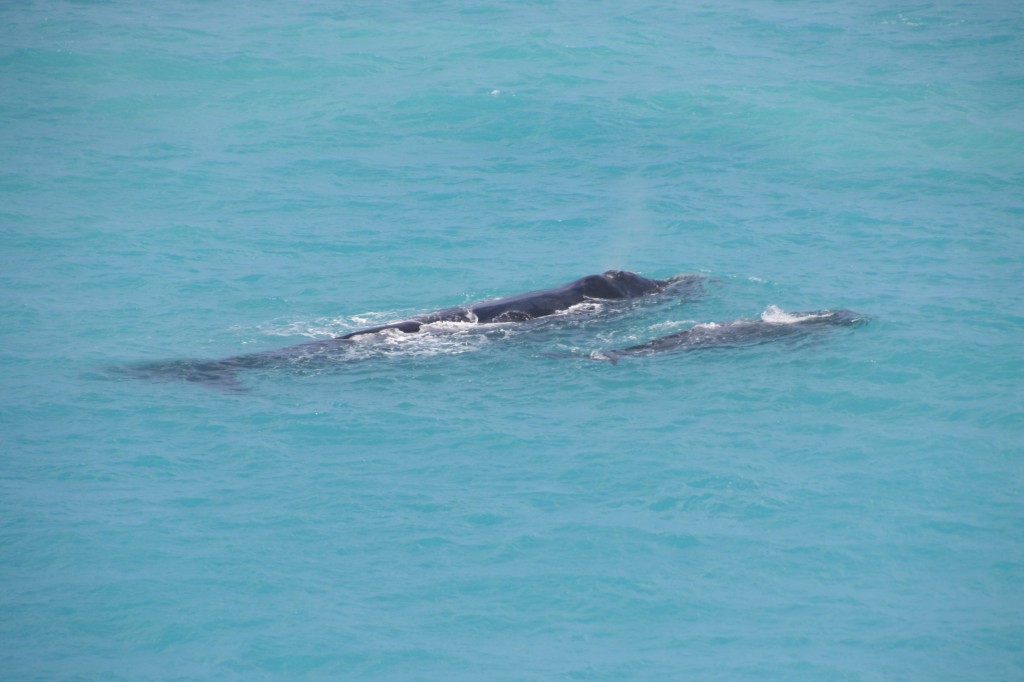
Towards the western end of the Nullabor Plain is Head of the Bight. This is the sort of northern scoop out of the land mass and provides warmer and protected waters for Southern Right whales to breed and calve (sometime later). They were hunted way back in the 1800s. Eyre even saw remains of their bones washed up here after the Dutch and others had been whaling in the Southern Ocean. They are so called because they were the ‘right’ whale to catch – good for oil and whatever else they used to harvest. This area is now a major breeding ground for them and they have built a great information centre and viewing platforms to get quite close to the whales.

IMG_6280 (2500x1667)

A Southern Right whale and her calf.

We saw about a dozen mums with their young calves. They stay close together, and slowly drift along the cliffs in front of us.

IMG_6245 (2500x1667)

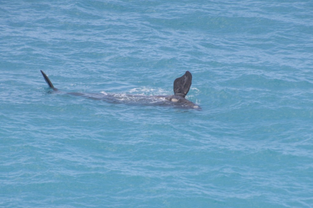
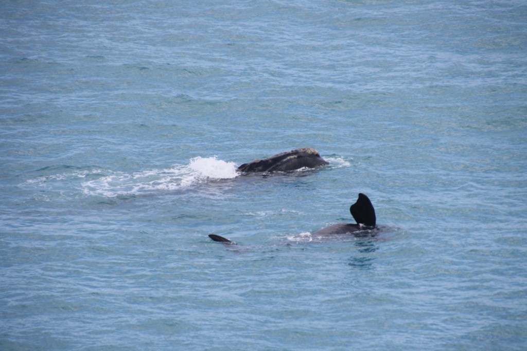
A Southern Right Calf flapping its fin.

The calves roll around and flap their fin on the water making a huge noise we can hear from the shore. Their fins must be a couple of metres long. And the size of the adult whales is about two double decker buses.

IMG_6271 (2500x1667)We watched for almost an hour. We ran into the Slovakians we helped through the mud a few days ago near Balladonia. They had been watching the whales all day! They might get really old houses in Slovakia but, clearly, they don’t get whales.
After the whales, we continued across the Plain. Somewhere it suddenly changed from treeless to thick bush. I was driving but I really can’t say where it happened. It was very, very, very windy. The wind got stronger and stronger as the day went on. We came across the western extent of cultivated land as we passed huge fields of wheat. It was  more golden here than the crops we had seen near Esperance and not far off harvest.
We left the Long Straight Road and went south after Yallata Roadhouse, which isn’t a roadhouse anymore. It still gets a dot on the map though. We went towards Fowlers Bay, with the wind gathering momentum. If you heard about 100km/h winds lashing Adelaide – that’s the wind we had, but we got it first. I still don’t know how the kayak and surfboards stayed on the roof. We got caught in a web of tracks trying to find a place to camp near Fowlers Bay. After at least an hour, maybe more, and just as it was getting dark, we plonked ourselves in a spot among some rare bushes. It was awful. The relentless wind made it a night we all wanted to forget. At least it wasn’t raining.

High Highlight, September 25, 2013

Great Australian Bight

Bunda Cliffs. Huge.

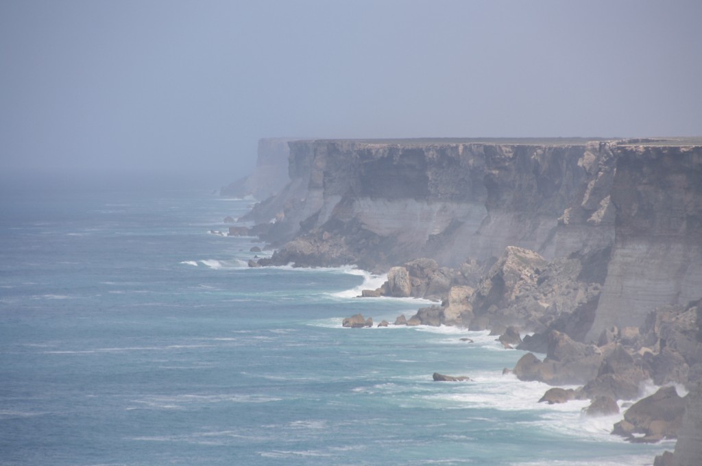
This morning’s highlight was the incredible Bunda Cliffs that tower over the Great Australian Bight. I’ve been here before, and I’m sure you might have too, but it’s a gob smacker of a view. No question.
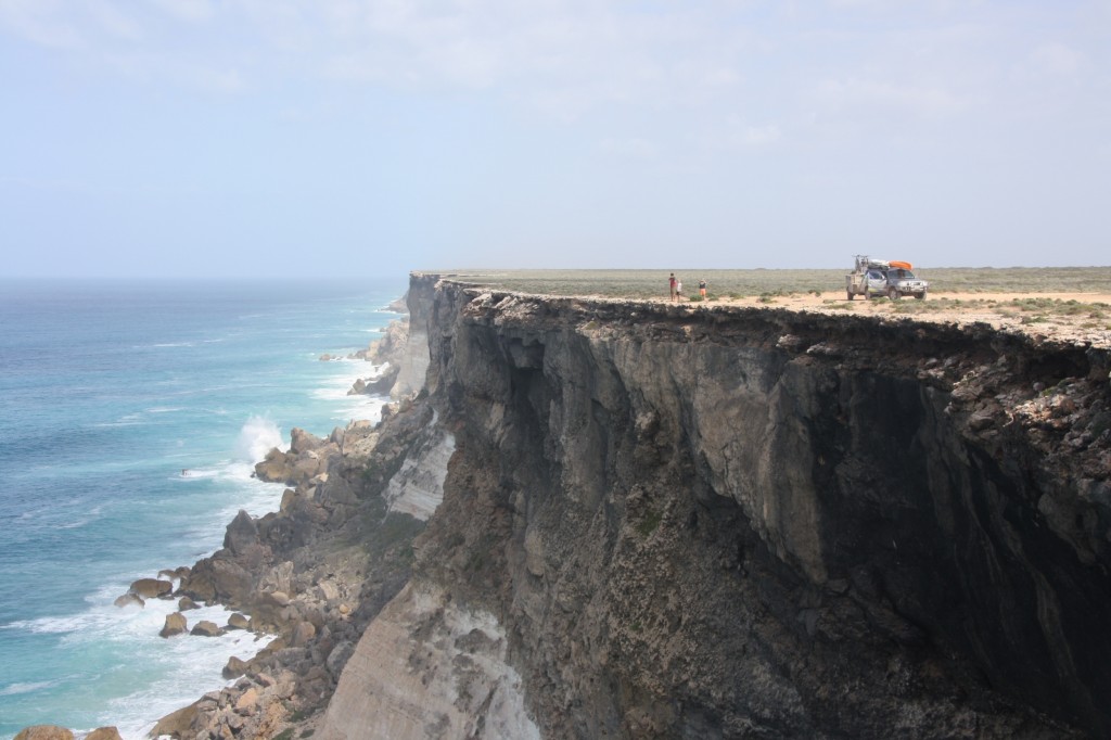
Great Australian Bight

Putting things in perspective

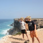
The size of the car and the boys in the photo above gives these massive cliffs their dues. We spend most of our lives right on the edge of the Australia, but this particular edge makes you feel quite insignificant.

The boys took some very close peaks over the edge. To be sure, it’s a long way down.
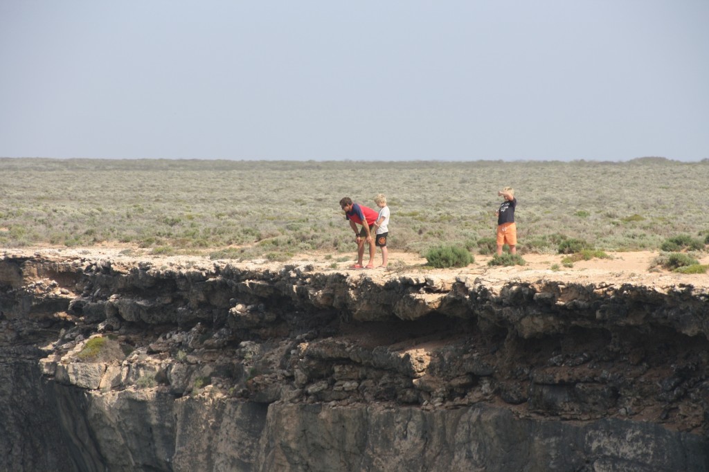
IMG_6195 (2500x1667)

A long way down

And of course they just had to look right over.
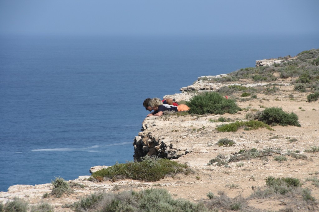
Great Australian Bight

Up close.

Here’s the video Fergus took while peering over the edge.

There are five official spots to stop and look at the Bunda Cliffs. We did one of the official ones, where you get lots of fences and signs and warnings, and the other few times we found a track and drove along the cliff edge. Well, near the cliff edge, hence our excellent photos and video!

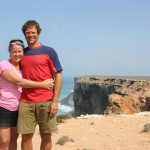
And now for family photo time. Apologies for the pink and red combo. What was I thinking?

Aside from stopping to see the cliffs today, we were joined on the road by the optimistic Fremantle supporters who are making the trans-continental dash for the big game on Saturday. We read that even the budget airlines were charging up to $800 one way for Perth-Melbourne, and that was before Fremantle made it into the grand final, so no wonder you’d round up your mates and drive a car over. You can spot them. They’re the ones without a caravan, camper trailer, motor home, fifth wheeler, B double or road train. Actually, not many of us have a road train, but you sure could take a few extra toys with you if you did. They travel light, and fast. Whereas we just cruise along and find things to do on the way.

Like playing golf. There’s the Nullabor Links here – the World’s Longest Golf Course. It’s 18 holes across 1365km from Kalgoorlie to Ceduna. Each town or road house hosts a hole, and you get a certificate if you do them all. It’s a great tourism initiative and a good way to enjoy the trip across the Nullabor.
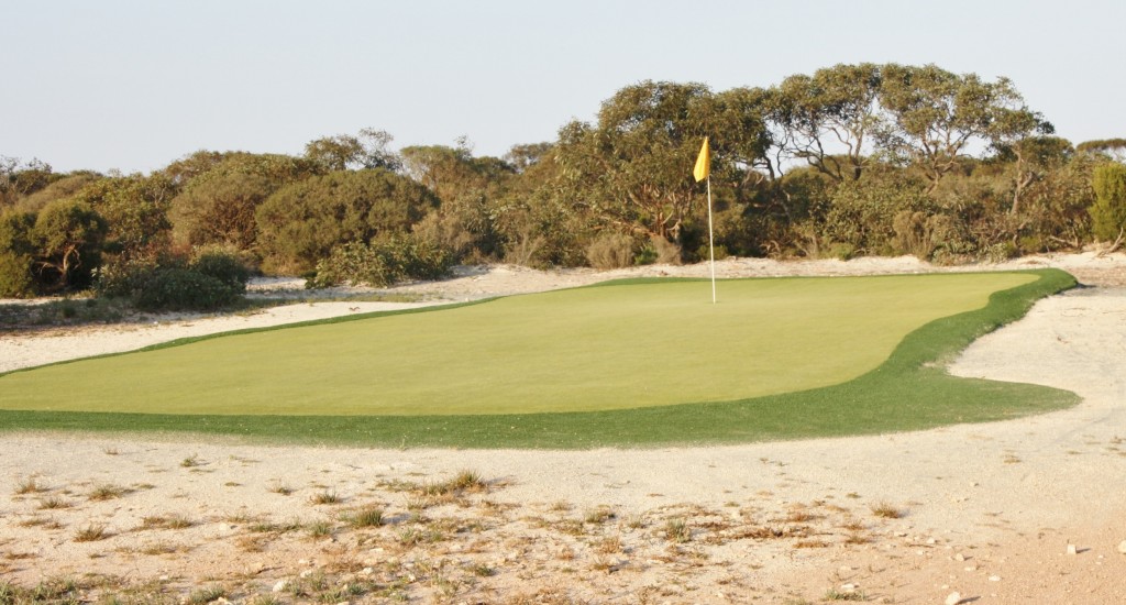
Border Village Par 3

Nullabor Links Hole at Border Village – Par 3