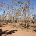
Leaving camp by 7.15am, we arrived at Tunnel Creek soon after 10am. We passed through the Leopold Ranges, which were quite spectacular.
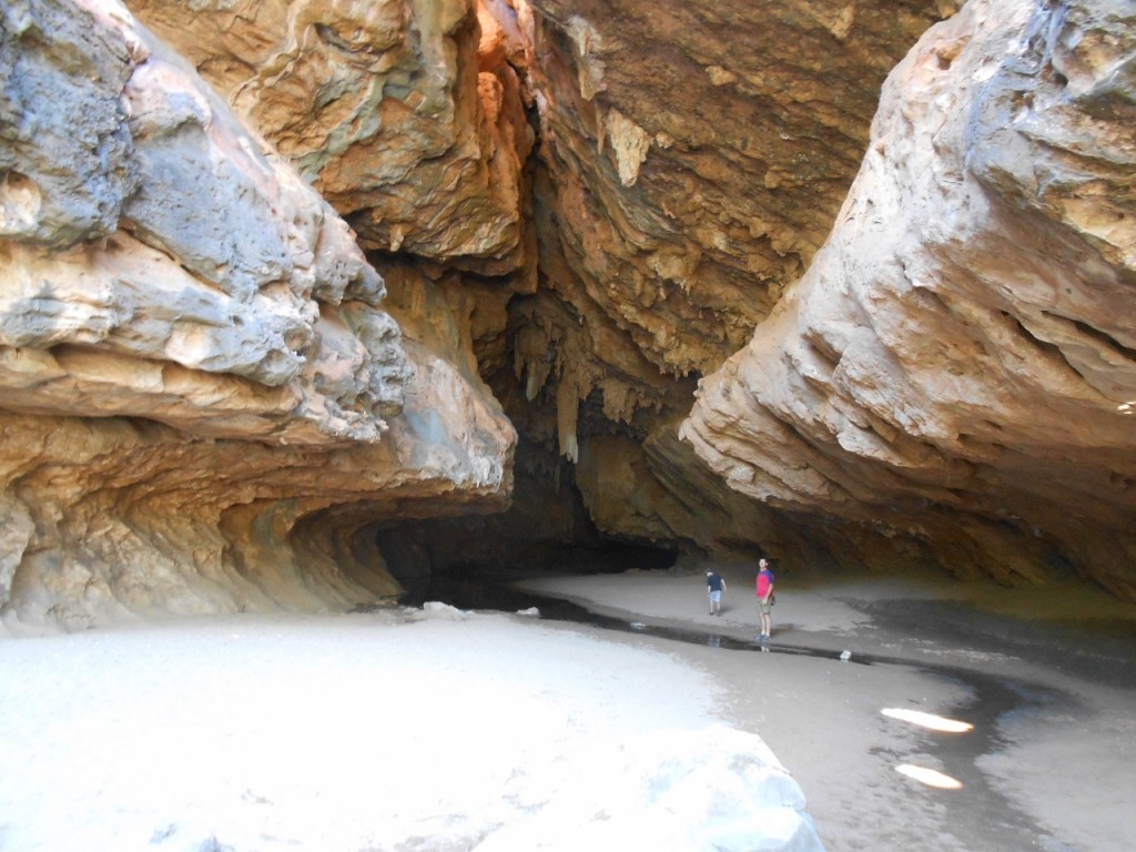
Tunnel Creek flows through the Napier Range in a remarkable natural tunnel more than 750m long – hence its creative name. You disappear into the black tunnel, and need a torch to see your way over the rocks and through the pools.
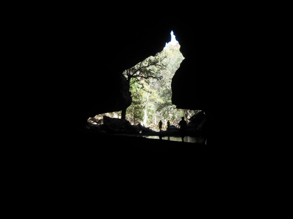
There are permanent pools along the way, and in the middle of the tunnel the roof has caved in and daylight shines through.
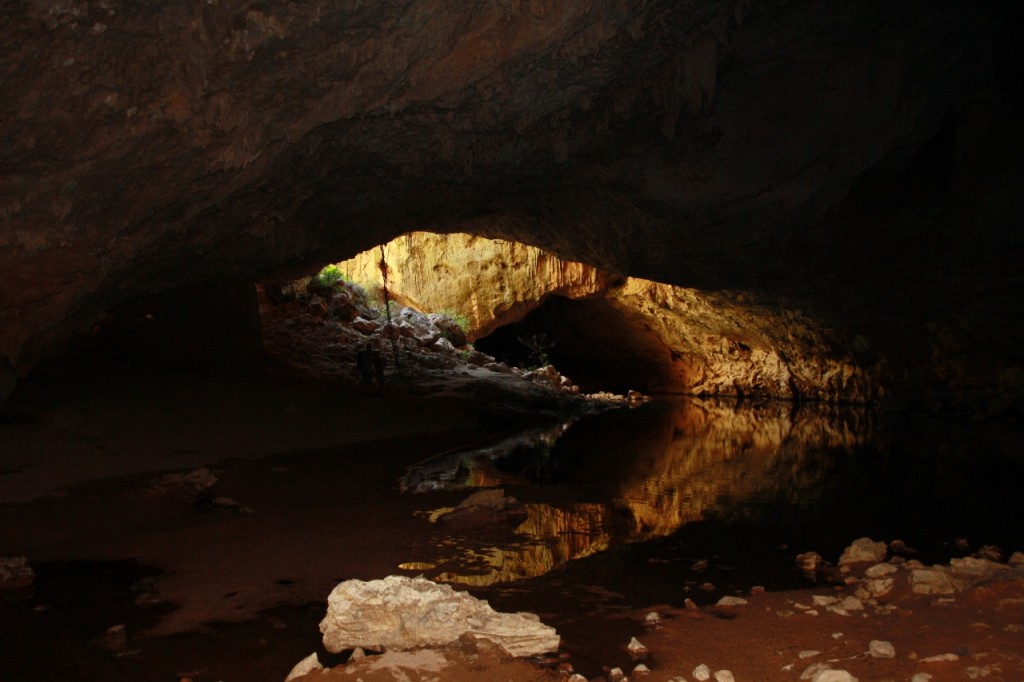
There are bats hanging around (!!!),
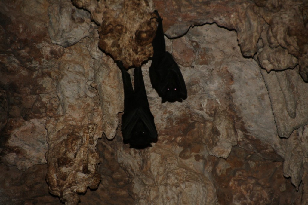
and I saw yabbies in the water pool.
It really is an amazing quirk of nature.
Monthly Archives: August 2013
Gibb River Road, August 3, 2013
It’s an hour or so back to the Gibb River Road (south) from Drysdale River Station, and then we continued west. The corrugations continued too. At least you get to pause now and then to check on other travellers that have pulled over. Lately, there’s been the spare tyre that dropped off a trailer, the stone guard over a gas tank that came loose, the flat tyre with bonus damaged rim, and the pipe that connected the gas to the engine that came off – unfixable – and the guy had no petrol left to switch to, being the same guy who was sure he could fix it. But actually couldn’t.
The Barnett Range loomed up on our left, a nice surprise after so much flat terrain.
Continue reading
Traveller’s Budget

Now any mother reading this will know that a child’s diet wouldn’t be complete without good old BBQ shapes, but I’ve never, ever paid $5.50 a box! And the boxes are squashed. This was at Drysdale River Station, where diesel was $2.40/L and petrol was $2.45/L.
We just don’t know how lucky us city folk are.
We caught up with Anne, who owns the Station, for a yarn about the days before tourism changed the life of a cattle station owner in the Kimberley. Her husband, John, was away grading road on another station.
Some Local Wildlife, August 2, 2013
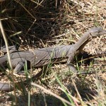
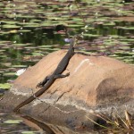
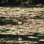
We haven’t seen a lot of wildlife so far, but we did spot this water monitor on our walk to Mitchell Falls. He was in a billabong next to Mertens Creek, filled with these lilies.
- Water Monitor
- Sunbaking
- Blue Lilies
Kimberley Countryside, August 2, 2013
I mentioned before the many fires in this region – started by Parks staff, station owners or lightening. And of course the kites have worked out how to move burning embers to new ground to keep flushing out the small reptiles for their dinner.
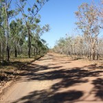
Here’s a pic (left) on the Kalumburu Road with one side burnt out and the other still green. The pic on the right makes the fire mark look like a high water mark from a flood.
- Green and Black
- Hight Tide Mark

