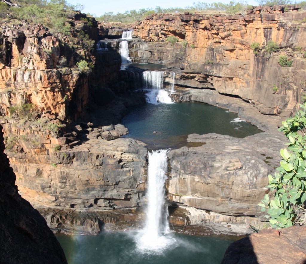
So here it is. Mitchell Falls. Or if we’re going for the new name, it’s Punamii-unpuu. Sorry, but I’m sticking with the whitefella name today.
The reward was worth the effort – from the Gibb River Road it’s 10 hours driving (return), plus 5 hours walking (return) plus a couple of nights camping to see the Falls. Of course there’s the helicopter option. You can fly over the falls, and even land there. You can fly everywhere in the Kimberley! A helicopter pilot would never be out of a job round here.
The walk in is pretty easy, about 3.7km each way, taking you past Little Mertens Falls where we swam yesterday, then onto Big Mertens Falls. No safety police around again – although they do have a “cliff warning” sign. Thanks for that.
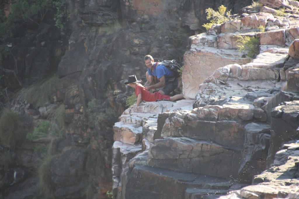
Big Mertens Creek flows into the Mitchell River just after these falls. Then it’s on to the Main Attraction.
Below is the first waterfall of the Mitchell, and you can stand right up next to it.
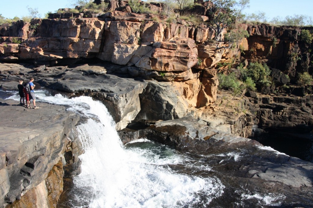
Just a hundred metres of so upstream is where you walk across the river. It’s only knee deep at this time of year. The choppers land right on the rocks at the top of the falls, so the wilderness is continually punctuated with the hum of them landing, taking off and generally taking in the view. I believe there is a push from Parks to stop them landing at the falls.
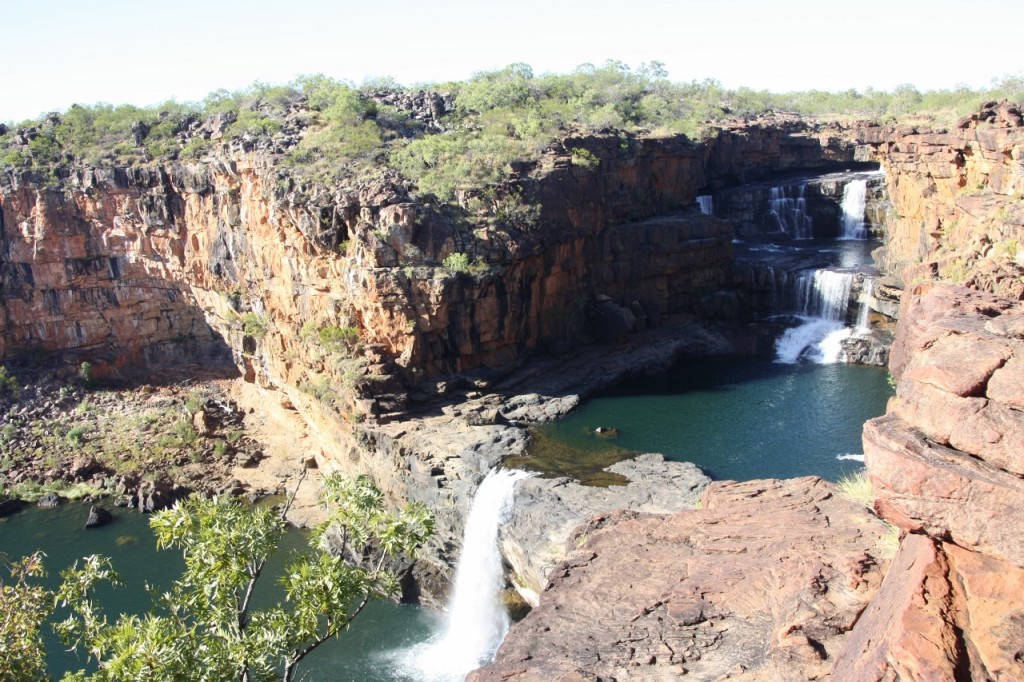
You’re not allowed to swim below the top pool anymore, due to cultural and croc reasons, but I reckon the third pool looks pretty good for a dip.
Monthly Archives: August 2013
Mitchell Plateau, August 1, 2013
We left the Mango (orange kayak), all five surfboards, and two of the bikes at Drysdale River Station for the short (distance) but long (time to drive) trip to the Mitchell Plateau. The road heads north for about 100km before we turn off for the final 86km to the camp ground. The whole trip took about 4 hours, including stopping a while to help a vehicle with a problem.
The track is slow (if you hadn’t worked that out), with corrugations you have to yell to be heard over. Despite this, the boys still did some maths and grammar in their work books. Can’t say it’s easy to read though!
At some point along this road, livistona palms began to abound. It starts as a mix of palms and eucalypts, bloodwoods and very low undergrowth, and then the palms eventually abound. It seems strange to be surrounded by palms in this arid place.
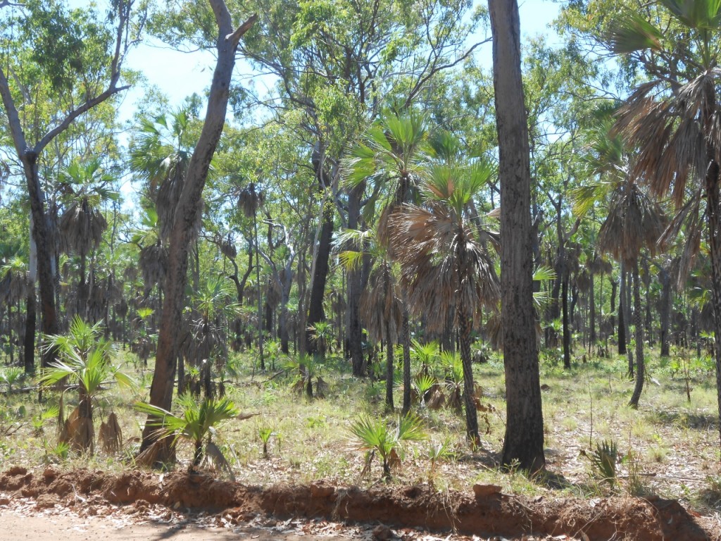
The road winds its way to the final reward of the campground – and the end of the road. Most people seem to drop their trailer back at the station and take just a tent. But Trevor has done well, and we’d never think of leaving him behind.
It was hot when we arrived, so after some down time, it was cool (I use the term loosely) and we wandered down the track to Little Mertens Falls.
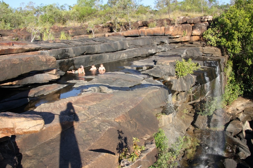
Here we are cooling off at the top of the falls. It was a big drop to the base of the falls, but the flow was never going to wash us over.
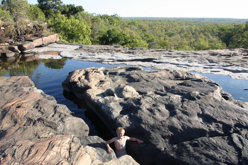
Below – is Fergus in a small pool above the falls.
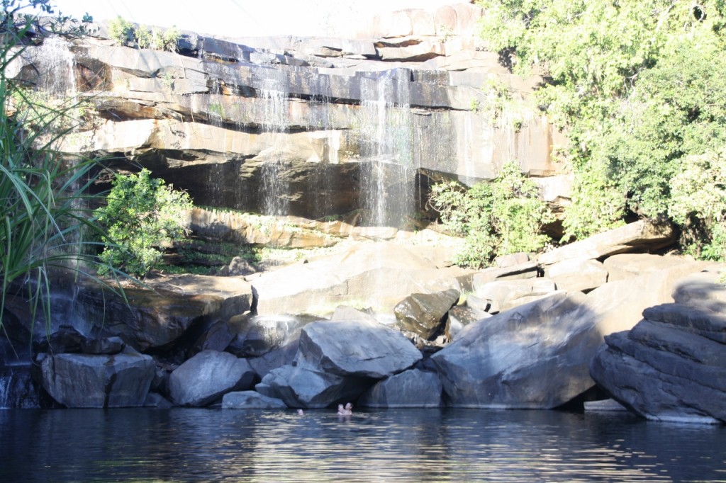
And then we went to the base of the falls for a swim in the huge pool below.
Tomorrow we continue to Mitchell Falls.
Smoke Gets in My Eyes, July 31, 2013
We had a great time at El Questro, but it’s good to be on the move again. We re-joined the Gibb River Road and soon came to the picture-postcard Cockburn Ranges. This is your classic Kimberley shot, and encompasses the rugged personality of the region.
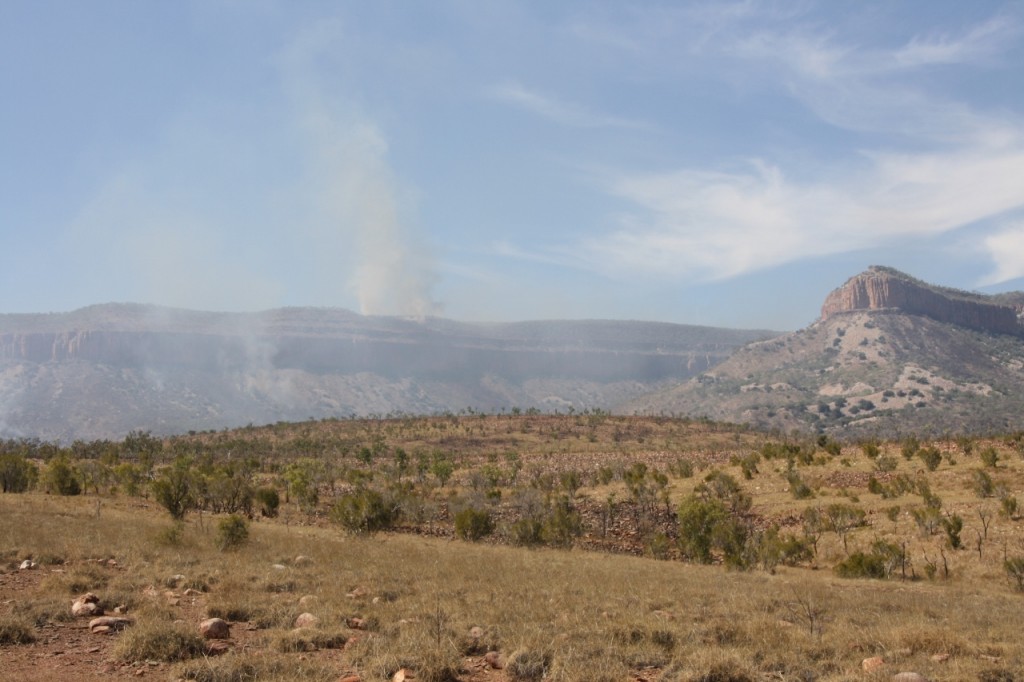
As you can see, we got the added bonus of the smokey shot! With not much wind, the haze hangs about the ranges.
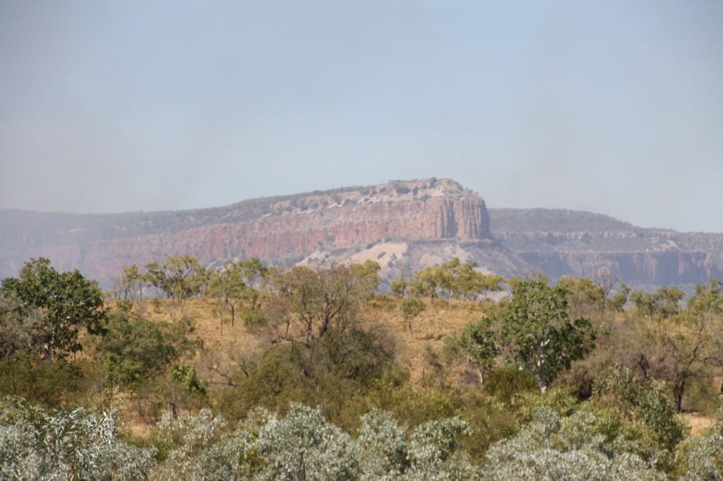
All the tourist brochures will have the next shot. Crossing the Pentecost River, with the Cockburn Ranges in the background – so I just had to take one too! Plus the smoke at no extra charge.
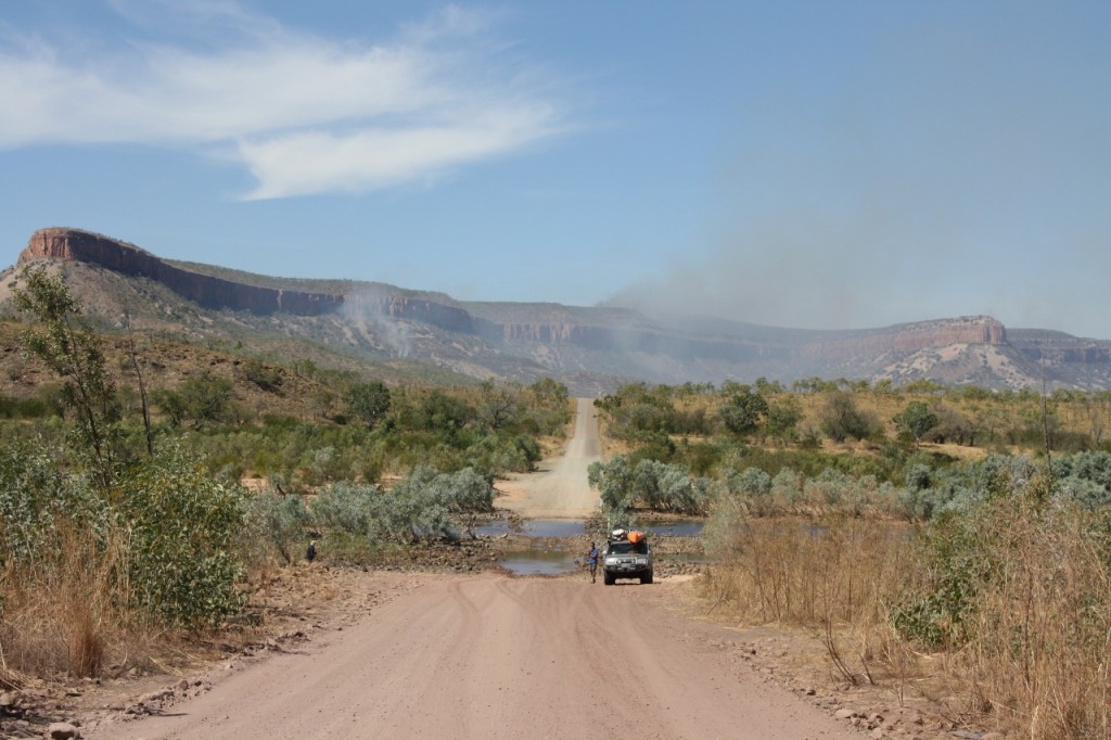
The next section of the Gibb River Road gives access to a number of stations, some that cater for travellers, but not much else to speak of (except the corrugations) till you get to the Kalumburu Road turnoff that takes you north, all the way to the Timor Sea.
The road changes to a dusty red dirt, and I must sing the virtues of Trevor the Trailer again. Not a spec of dirt gets through the seals – anywhere.
We drove on to Drysdale River Station, and then to Miners Pool just a few kilometres up the road. This was a perfect spot to camp, away from the hum of generators, right on the banks of the Drysdale River.
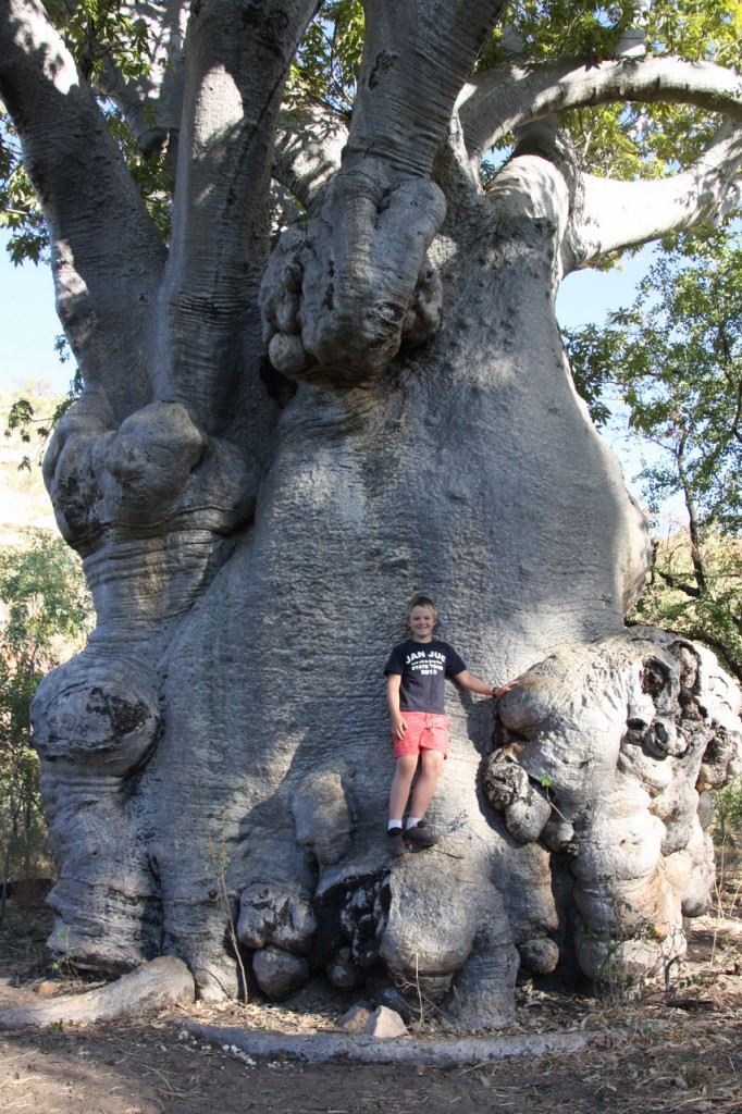
Grand Old Boab, July 31, 2013
A New High? July, 31, 2013
The highlight so far has definitely been Echidna Chasm and the Bungle Bungle NP. But today really captured our hearts. It was Zebedee Thermal Springs on El Questro Station.
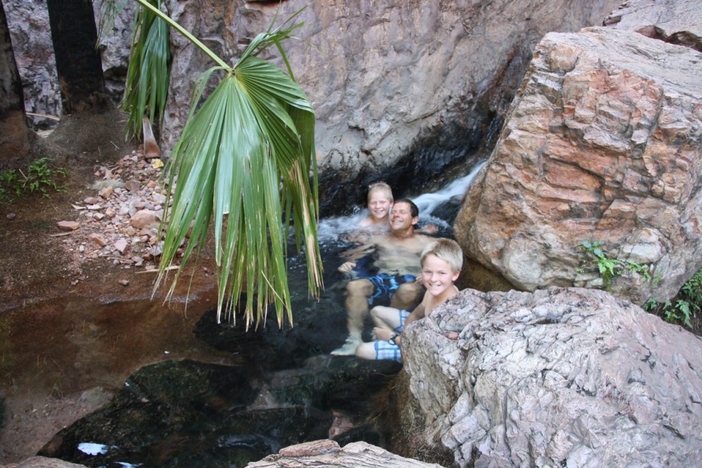
Just a short walk (now that’s a bonus right there) and you arrive at the shady springs surrounded by pandanus and livistona palms. The springs are at a constant temperature of about 30 degrees all year round. That sounds too warm, but it was just perfect for floating around in a cascade of pools until our fingers were like prunes.
Positively idyllic.
- John and Ferg, just chilling
- Harry – far left, John and Ferg – far right
- We didn’t want to leave!

