The peninsula we are on reaching out to the north has one road up the east side to North Cape and the lighthouse, where we stayed, and it continues round the tip and heads south down the western side along the Ningaloo Reef. There are numerous places to access the beach as well as some Department of Conservation (DEC) managed camping sites. These sites get booked out well in advance, and there’s a queue at the entry gate at 8am (they actually start arriving at 6am) every morning hoping to get a spot. We planned to drive on through the National Park and find somewhere further south to camp on private land, past Yardie Creek. But the gate keeper said she had one site left at the most southern camp ground – Boat Harbour. Lucky us!
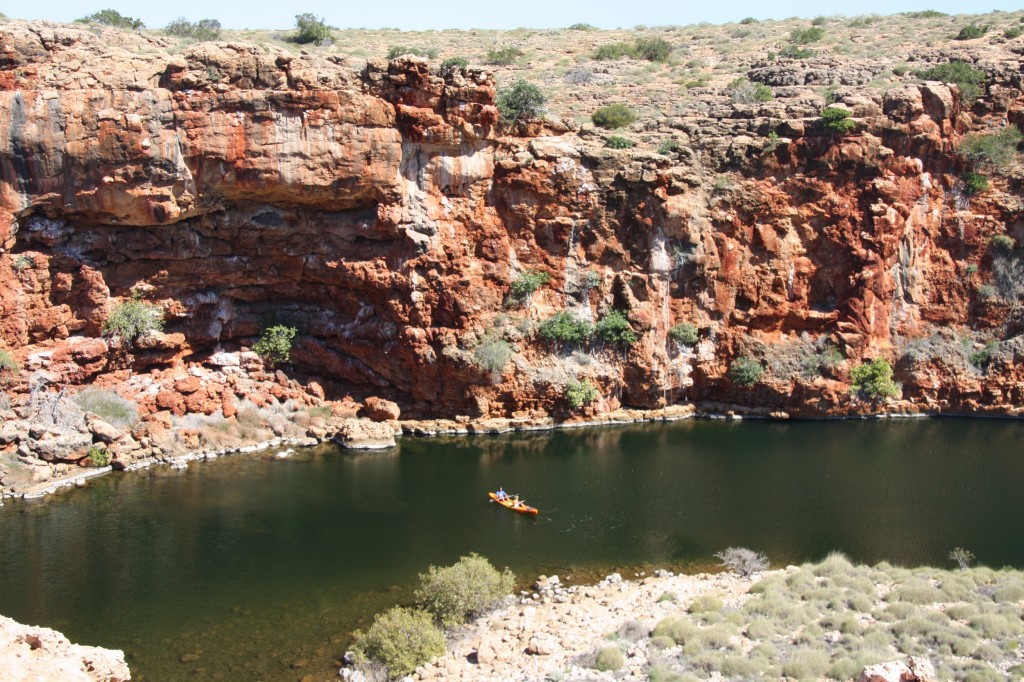
We stopped at Yardie Creek and John and Ferg paddled the Mango up the creek. See them?
It was a lovely quite creek – only about a kilometre long. Harry and I walked up the track atop the gorge. The creek will sometime break through the sand bar after a cyclone and then flow for several years.
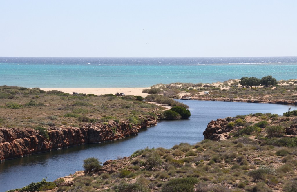
Today it was dry crossing, but the sand was fairly deep and soft. Super Cruiser did it in high range. Easy.
The camp site at Boat Harbour was secluded and quiet. There are just four sites available. It’s just over the dip in the sand dunes in the photo below.
John and the boys dived off the rocks. There were plenty of fish and coral. The wind was a strong south westerly, so it was good to be protected by the dunes.


