Desert Surprises, July 7, 2013

Alice Springs is home to the tourist attraction, Desert Park. This is a NT Government run worldclass facility. It showcases the huge variety of flora and fauna and landscapes within the arid heart of Australia. The bird enclosures were fantastic and we have actually seen many of these birds in the wild.


They also had a Birds of Prey show featuring the Boobook Owl, Brown Falcon, Whistling Kite and even good old Galahs.
There were great wildflowers blooming, and a huge variety of native trees. The boys really enjoyed it.

A Big Crack, July 7, 2013

After the return trip from (the disappearing) Hugh Gorge, we travelled towards Alice Springs along Larapinta Drive enjoying the West MacDonnell Ranges.
IMG_3201 (1280x853)
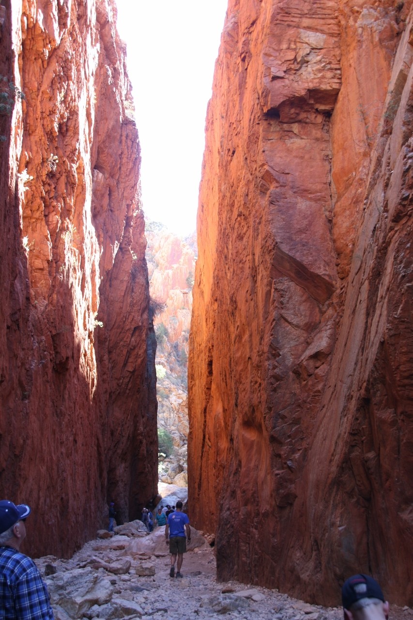
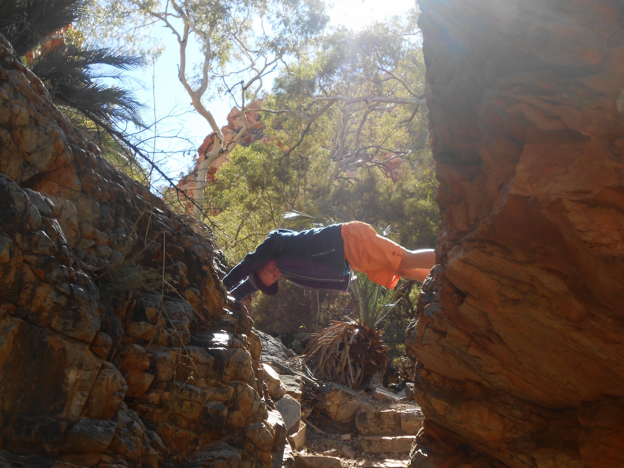
We pulled in to Standley Chasm, named after the first school teacher in the Centre, and marvelled at what nature has carved out of the earth.
IMG_3203 (853x1280)
And we also marvelled at what children will find to have fun with.
DSCN3007 (1280x960)

Seriously off road, July 6, 2013

After the Big Climb up Mt.Sonder, it was pack up and hit the road time. Although, it did take us a couple of hours. We moved on from the western extremity of the MacDonnnells and made our way to the first Hugh River crossing, only about 50km from Alice Springs. From here we followed a “mud map” we got from a local…..many years ago. Unfortunately the “map” was before the Larapinta Trail days (which has obviously meant the realignment of the old track) and ended up being rather longer (and much rougher) than we remembered. After an hour and a half of bone shaking, brain numbing, rocky four-wheel-driving we made it to the end of the road – also the change over point between Section 5 and 6 of the Larapinta Trail. This is about 22km from the highway, but you would have to call it pretty remote given the time and effort to get here.
We set up camp (new PB of 14 minutes) and then made our first batch of damper. Result: top side rather well done, inside rather perfect. We shall continue to work on the technique.


John ran off for a “quick” reccy of the Hugh River gorge. I expected him back in about 40 minutes. Alas, it was about an hour and a half, and no gorge to report on. But at least he burned off the butter and jam he had on the damper!
It was a peaceful evening all to ourselves, miles from anywhere.

Breaking New Ground, July 6, 2013

The Larapinta Trail is the famous 230km walk that follows the West MacDonnell Ranges from Alice Springs to Mt. Sonder (1380m), near Red Bank Gorge. It is broken into 12 sections, and walkers can tackle one or more sections at a time, with options to be dropped off or picked up between sections. Section 12 is the 16km return trip from Red Bank Gorge to Mt. Sonder, which is classed as “hard” and should take 8 hours.
You guessed it. John wants to do it. He’s going to take the boys. My balloons (located where my knees used to be) can’t even contemplate it. Our camp is high on the ridge top, so they ride down to the start of the climb, and begin the walk at 5.30am.
I woke about 7am to the blood curdling howling of dingos. They must have been communicating across the valley. It was quite spooky.
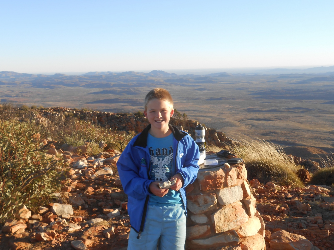
The boys took a UHF radio and I called them on schedule at 8am, just as they arrived at the summit.
DSCN2878 (1280x960)
I heard them loud and clear as the Summit Party reported success.
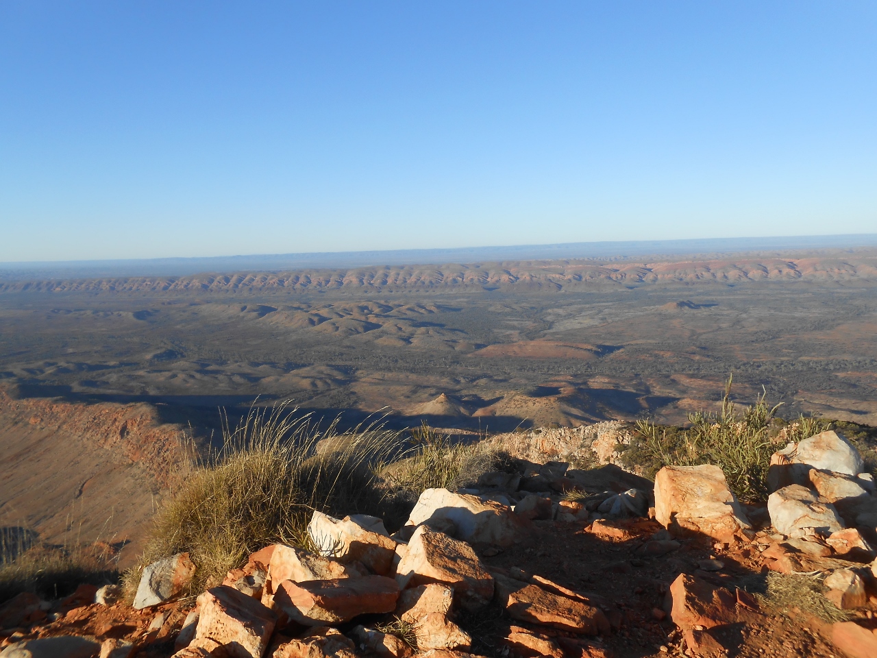
It looks like it was well worth the effort they made. Here’s John’s video report from the top.

This amazing view includes the James Ranges to the south.
DSCN2882 (1280x960)
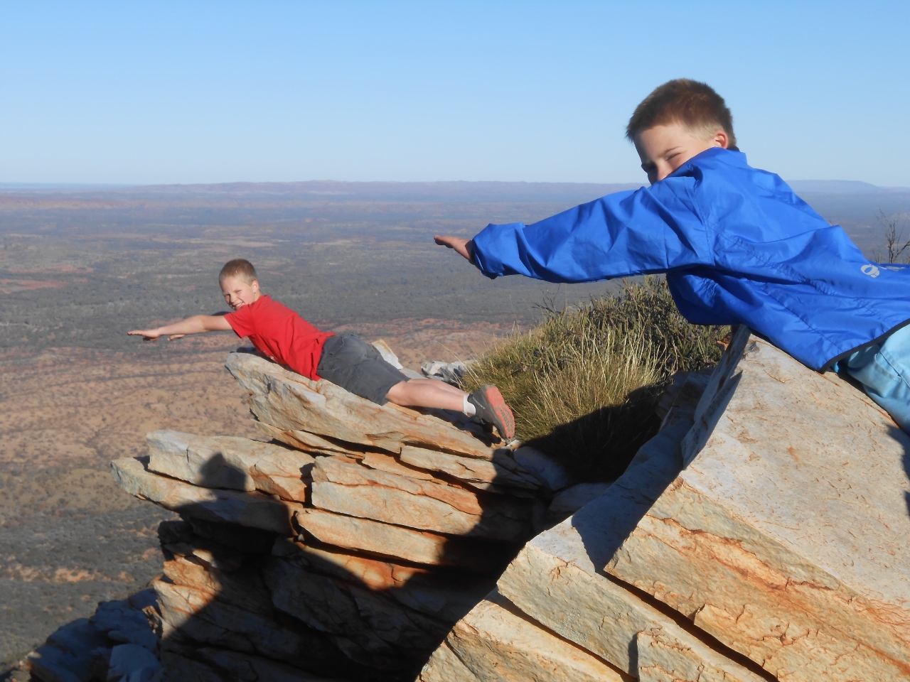
And just to add to the planking collection……
DSCN2886 (1280x960)
So, new ground? Earliest start (5am alarm), longest distance walked (16km), longest time walked ( 4.5 hours), highest peak climbed (1380m), and most exhausted!
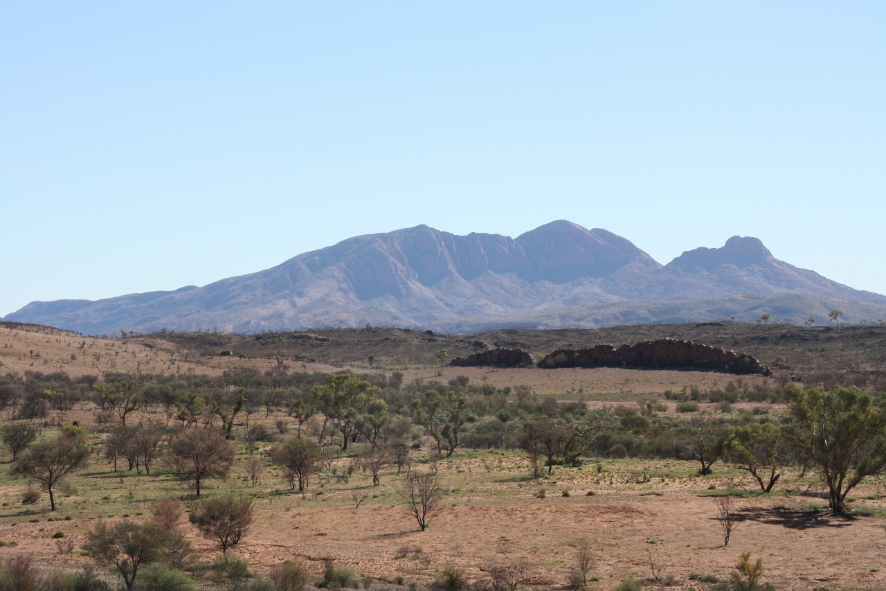
And here is Mt. Sonder – the view as we headed on into Alice Springs. Of course, it’s the tallest peak in the photo!
IMG_3200 Mt Sonder (1280x853)

Roads We’ve Travelled – 1

There’s no shortage of variety of roads to travel in this wide brown land, so I thought I’d show you a few along the way from the co-pilot’s seat here in the super-cruiser.
First up – the Oodnadatta Track. Really a dirt road with a good surface – although I’ve never been there after a drop of rain.

Next up, it’s the road from William Creek, where we left the Oodnadatta Track, through to Coober Pedy. Spot the tree.

And the last Road in this Post is the good old Stuart Highway. Some bitumen to break things up.

Next set of Roads may be a while away – all depends on internet! – but I have some more up my sleeve.